The Incredible Mae Wang Loop
Chiang Mai Province | 194+ KM Loop | Classic Guide
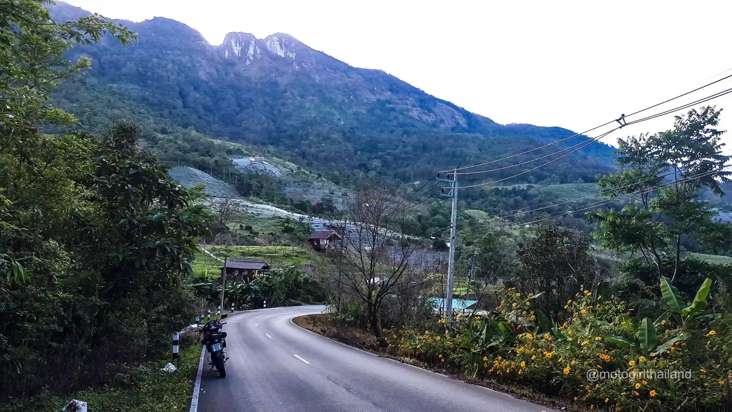
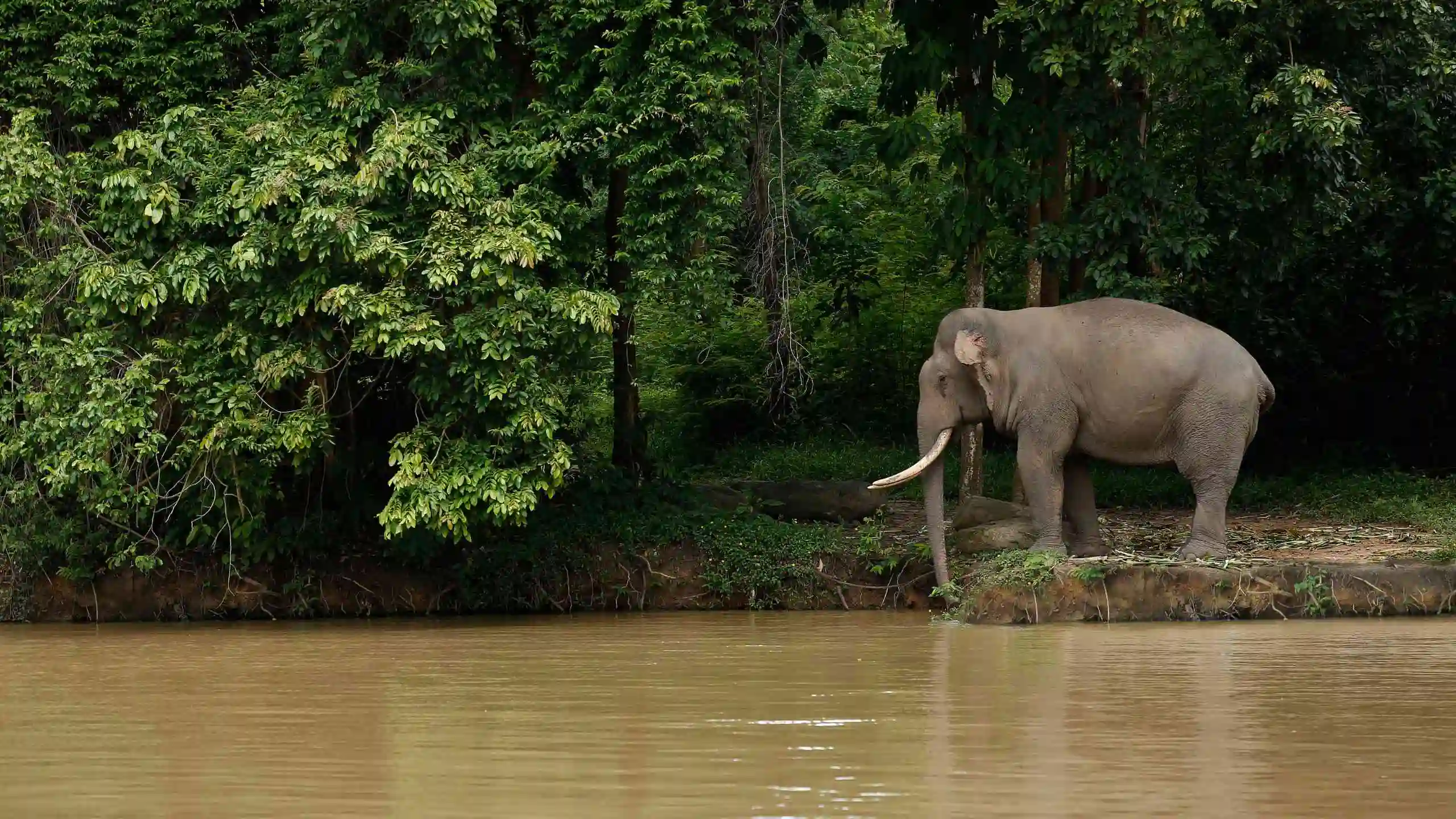
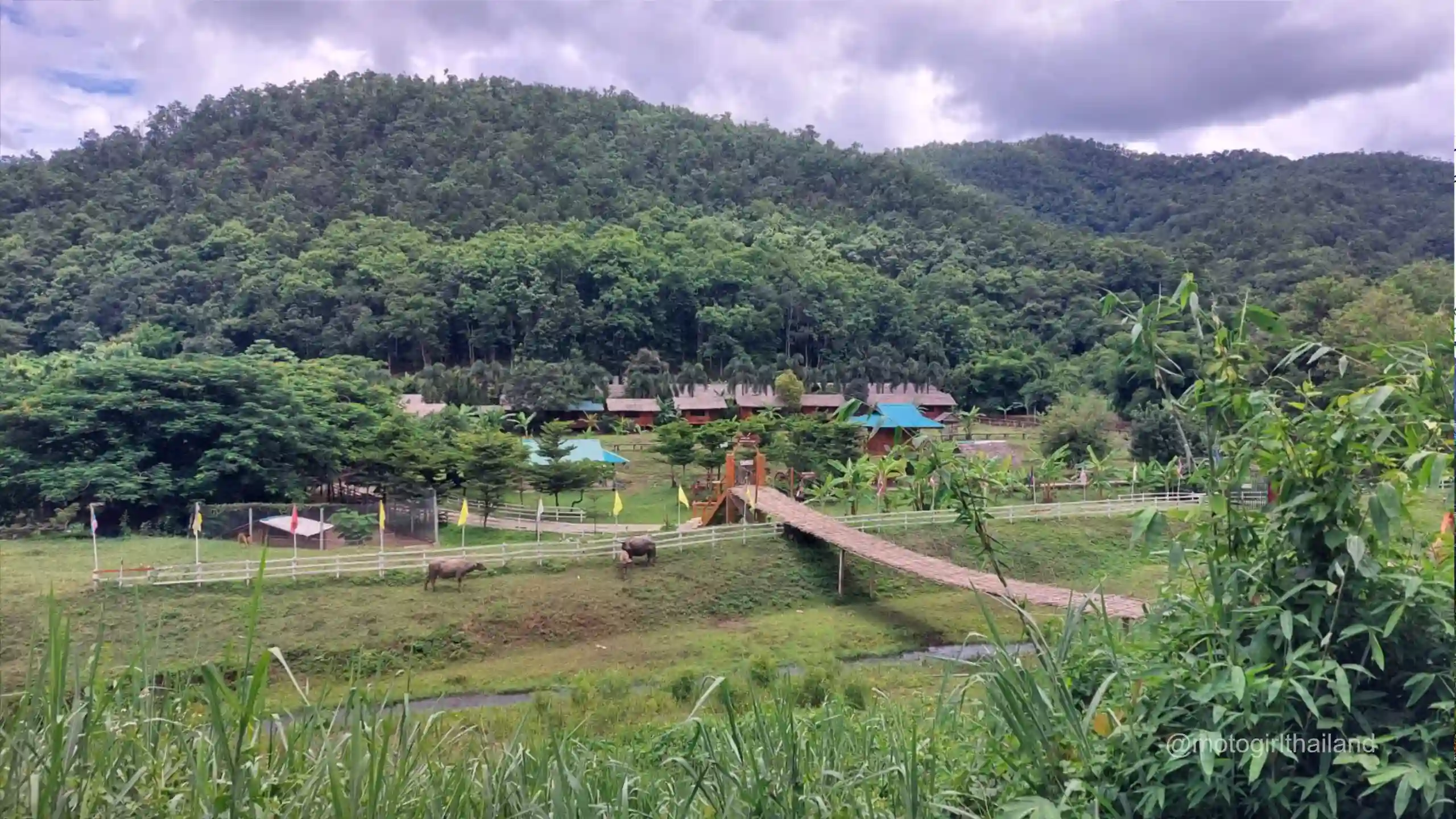
The Mae Wang Loop is an adventure-packed ride through jungle-covered hills, traditional villages, elephant zones, and vibrant farmland, offering a great mix of twisty roads and cultural encounters. Riders also have the option to detour to Doi Inthanon, the highest peak in Thailand.
The Loop offers generally good paved roads, tight hairpins, with occasional potholes or debris.
Click to Close
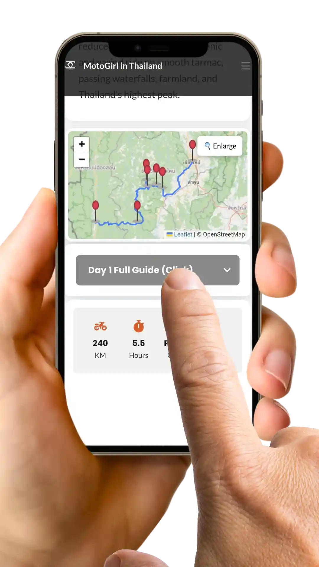
Note: GPS waypoints and an interactive map is available once content access is unlocked.
Follow the guide step-by-step. Each stop has a GPS location button – click it! The link will open up in Google Maps (or an alternative map-app on your phone).
Wifi
on
Scroll
Down
Click
Steps
Follow
Route

Note: An active internet connection is best to use the guide correctly.
This guide is for personal use only. Please do not share or distribute the route
Purchase this Individual Guide
Unlock All Classic Guides
194+
KM
1
Day
Paved
Mixed
6
Stops
Click to Close
Purchase this Individual Guide
Unlock All Classic Guides
Click to Close
A Scenic Cultural Gem
Geographically, Mae Wang district occupies the western slopes of the Thanon Thong Chai Range, where elevations increase 570 meters above sea level leading up to Doi Inthanon, Thailand’s highest mountain.
The Mae Wang River is a dominant feature of this area. It runs east towards Chiang Mai where it joins up with the Ping River, on the border of Chiang Mai and Lamphun.
A large population of ethnic Hill Tribe communities reside and farm in this region, including the Karen, Hmong, and Akha. Lush green rice paddies stretch across the landscape, often lined with seasonal blooms.
Fuel stops are based on a 7.7 Liter tank. Smaller tanks will need to add additional stops.

Purchase this Individual Guide
Unlock All Classic Guides
Did you enjoy the Guide?
Please take a moment to leave feedback on the product page or below. Additionally, if you notice any issues with the guide or have a general question, scroll down and comment to let me know!
Fantastic route and great guide.
I wasn’t sure if I could manage it alone, but the clear guide made it doable.