Guide to the Scenic Samoeng Loop
Chiang Mai Province | 120-150 KM Ride | Subscriber Guide
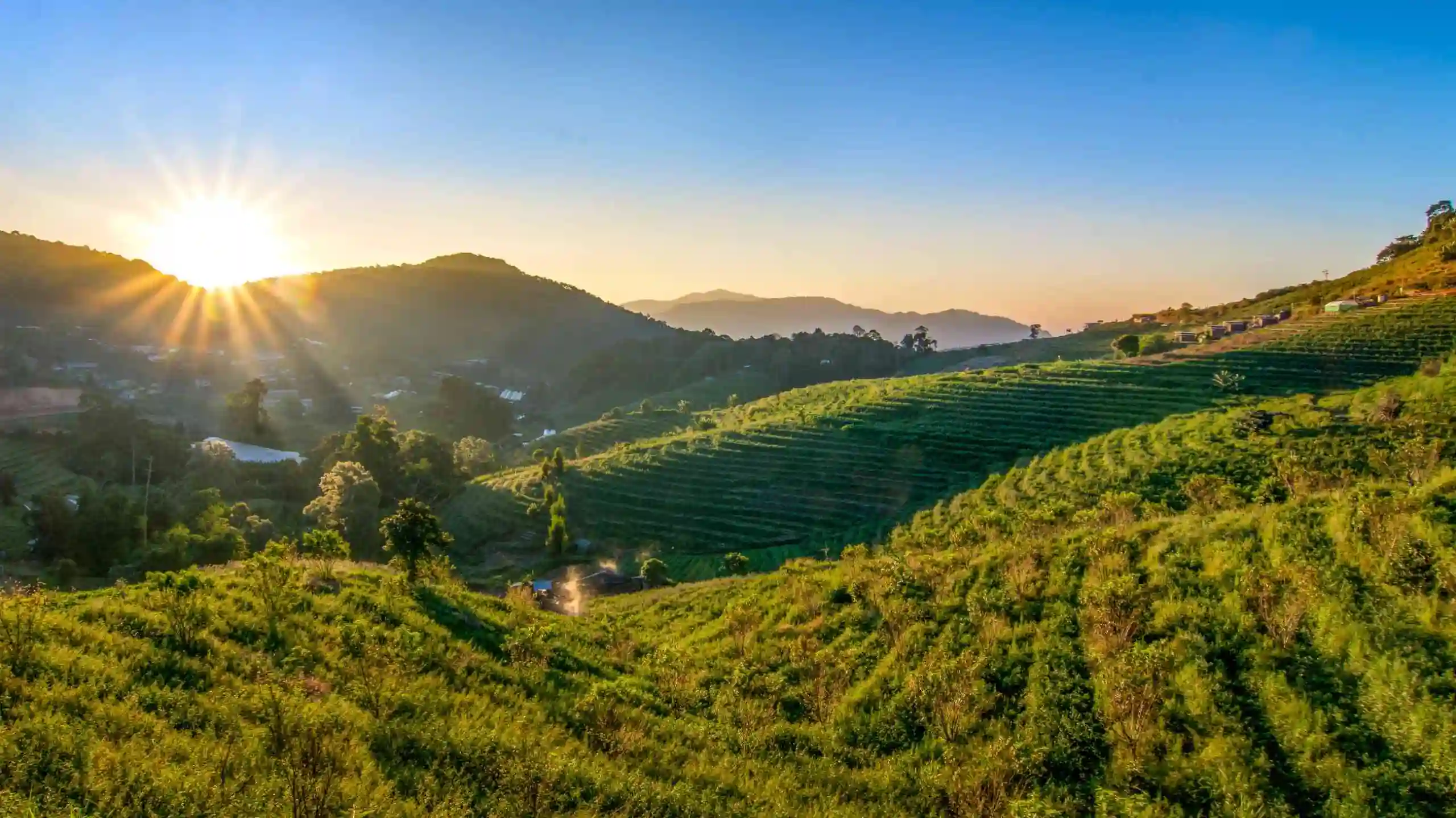
The Samoeng Loop is one of Chiang Mai’s best short rides. This loop is a winding mountain circuit around the western side of the city, linking Mae Rim, Mae Sa Valley, botanical gardens, forest viewpoints, strawberry country, and the quieter ridge roads of the Hang Dong side. The core loop is roughly 100 km, but with café stops and optional detours to Mon Jam or Samoeng town, most travellers will clock closer to 150-180 km.
The route offers generally good paved roads, tight hairpins, with occasional potholes or debris. – suitable for most vehicles. Recommended for experienced riders.
Click to Close
Note: GPS waypoints and an interactive map is available once content access is unlocked.
Follow the guide step-by-step. Each stop has a GPS location button – click it! The link will open up in Google Maps (or an alternative map-app on your phone).
Wifi
on
Scroll
Down
Click
Steps
Follow
Route


Note: An active internet connection is best to use the guide correctly.
This guide is for personal use only. Please do not share or distribute the route
Join for Free
Unlock All Classic Guides
There are countless activates and great places to stop on the loop, which you can pick and choose along the way. This guide focuses on the ride with a few key (optional) stops that I personally recommend. However, ultimately, the choice is yours!
58
KM
4 – 6
Hours
Paved
Mixed
9*
Stops
*Suggested stops — mix and match as you go.
Click to Close
Join for Free
Unlock All Classic Guides

Join for Free
Unlock All Classic Guides
Did you enjoy the Samoeng Loop Guide?
Please take a moment to leave feedback on the product page or below. Additionally, if you notice any issues with the guide or have a general question, scroll down and comment to let me know!
Sorry, no reviews match your current selections