Ban Jabo & Hilltribe Territory
Mae Hong Son Province | 2 Days | 668 KM Loop
This two-day ride into Mae Hong Son Province was supposed to be a simple overnight escape into the mountains. A chance to revisit one of Northern Thailand’s most iconic hilltribe villages, soak in the sea of mist, and enjoy some of the best riding roads in the country.
But like many rides in this part of the world, it became something more than that.
What started as a scenic loop through foggy mountain roads and remote villages slowly turned into a quiet test of confidence, control, and mindset following an off-road accident…
Click to Close
Contents
Pai Travel Guide: What to Do, Where to Stay &…
Epic Mae Hong Son Loop – An Epic Twist!
The Mae Hong Son Loop
Mae Hong Son Fun Scooter Challenge! The Loop in 1…
About Ban Jabo
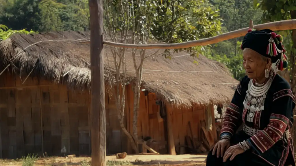
Ban Jabo is a small hilltribe village perched high in the mountains of Mae Hong Son Province, close to the Myanmar border. It is home to approximately 226 residents, primarily belonging to the Black Lahu (Lahu Na) ethnic group, and operates as an ecotourism community.
The villagers still live a quiet, traditional way of life, giving visitors a unique experience. So, despite its growing popularity, Ban Jabo still feels relatively raw and unpolished compared to more commercial destinations.
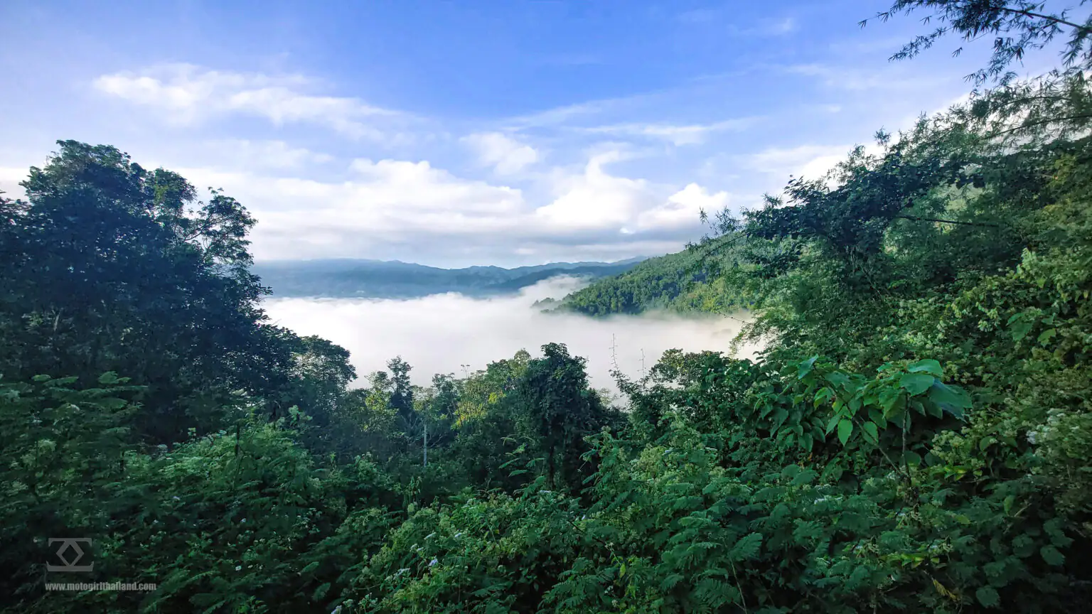
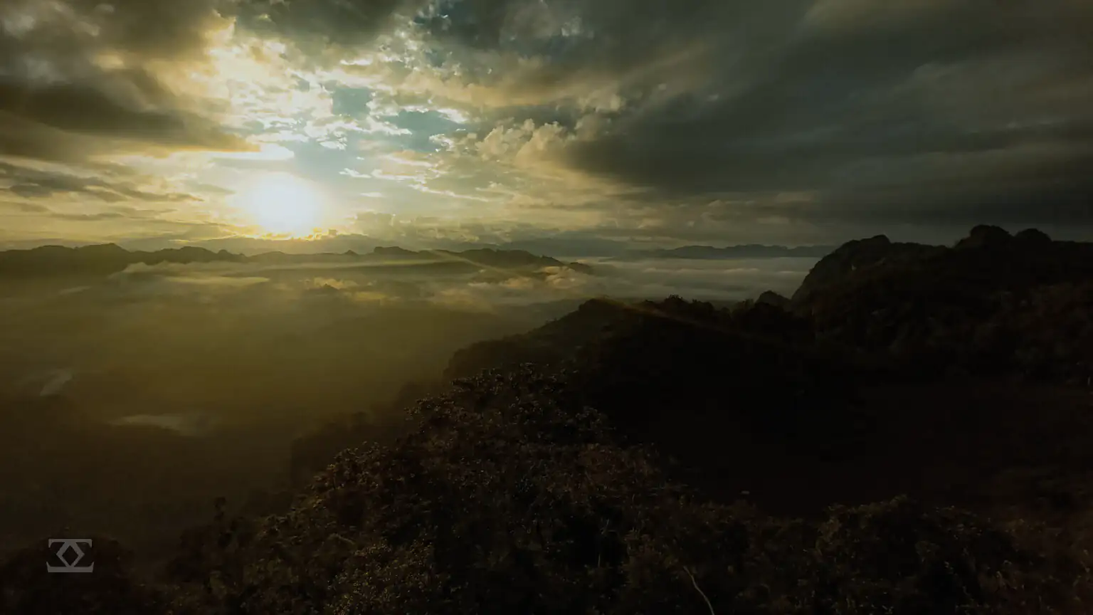
At sunrise, the entire village seems to float above the clouds.
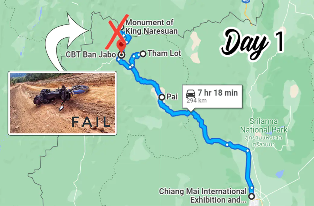
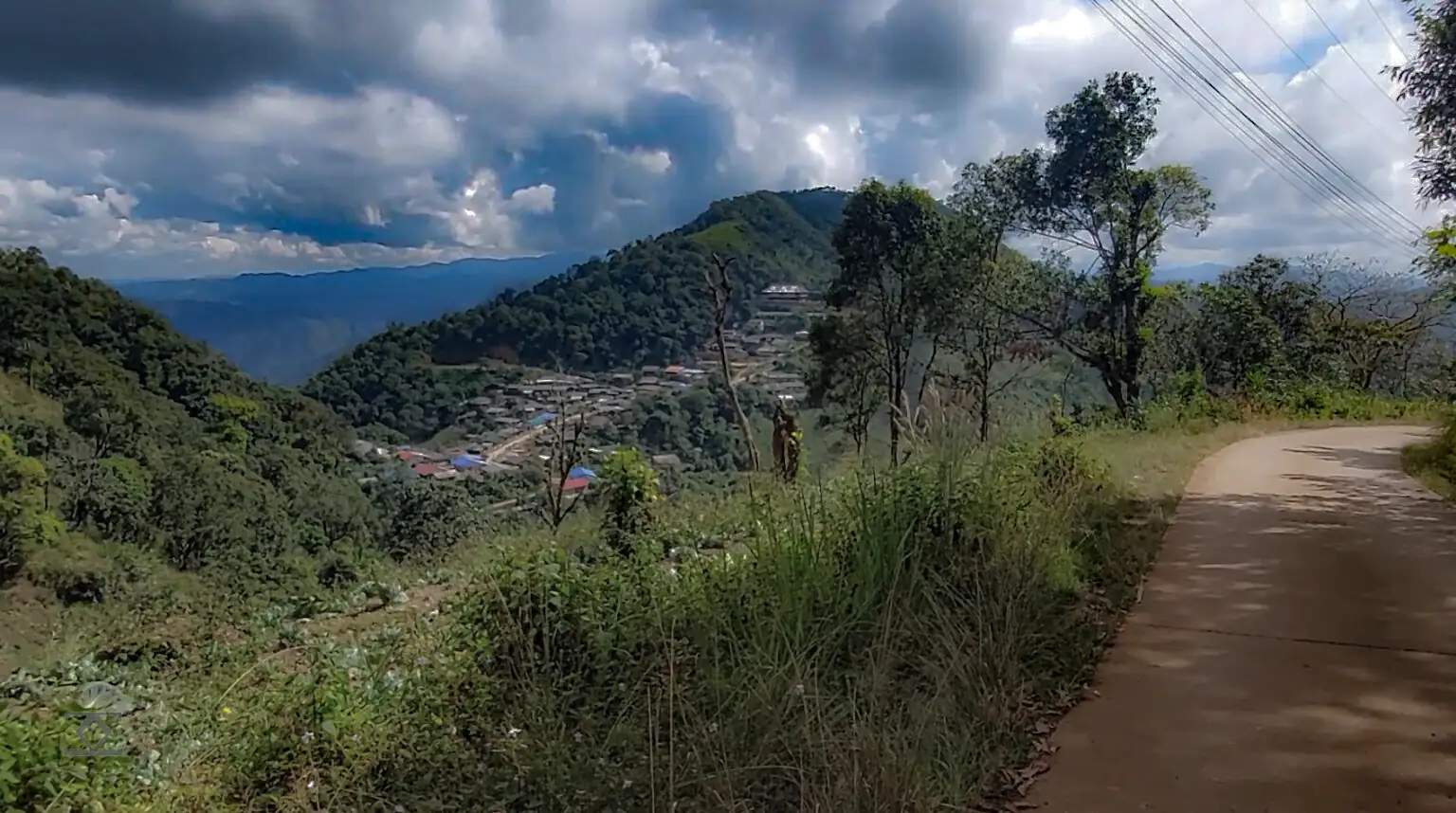
Outbound Ride – Chiang Mai to Ban Jabo (via Pai) Approx. 294 KM
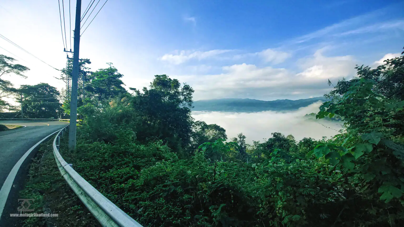
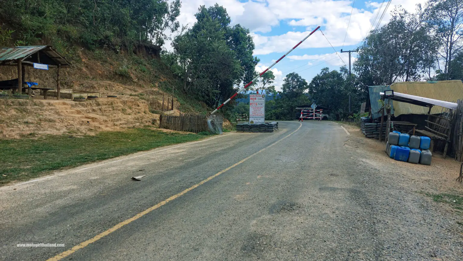
The R1095 Route Into the Mountains
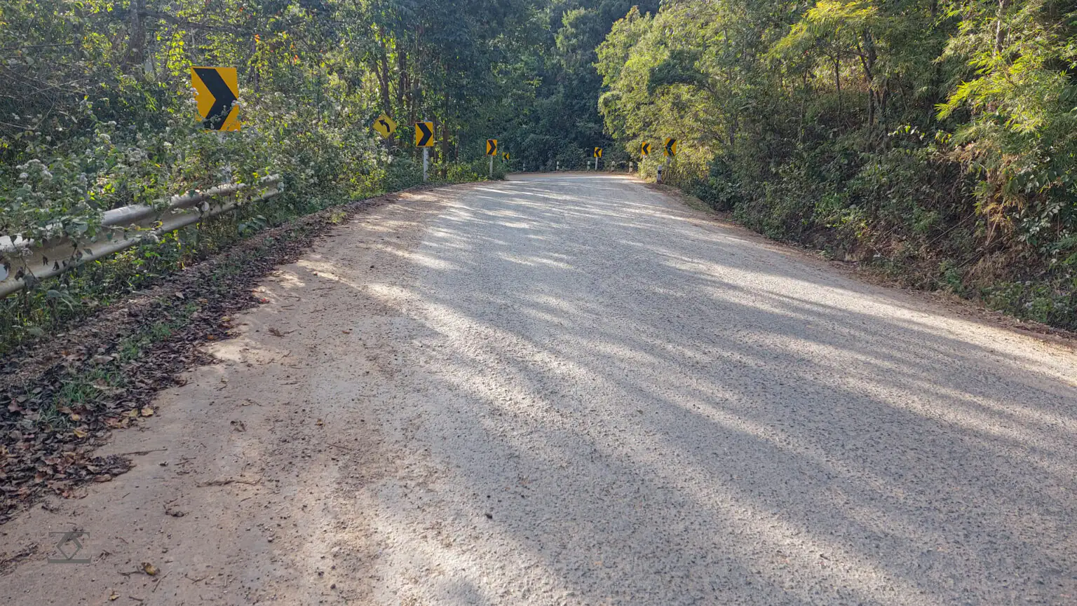
Road condition: Perfect!
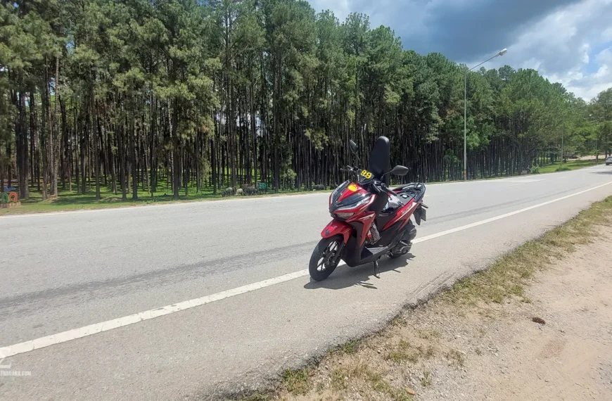
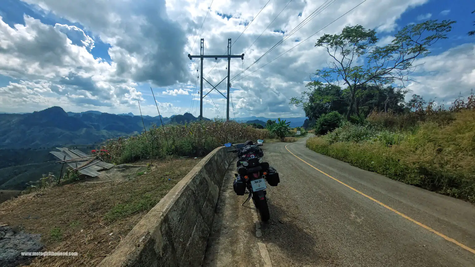
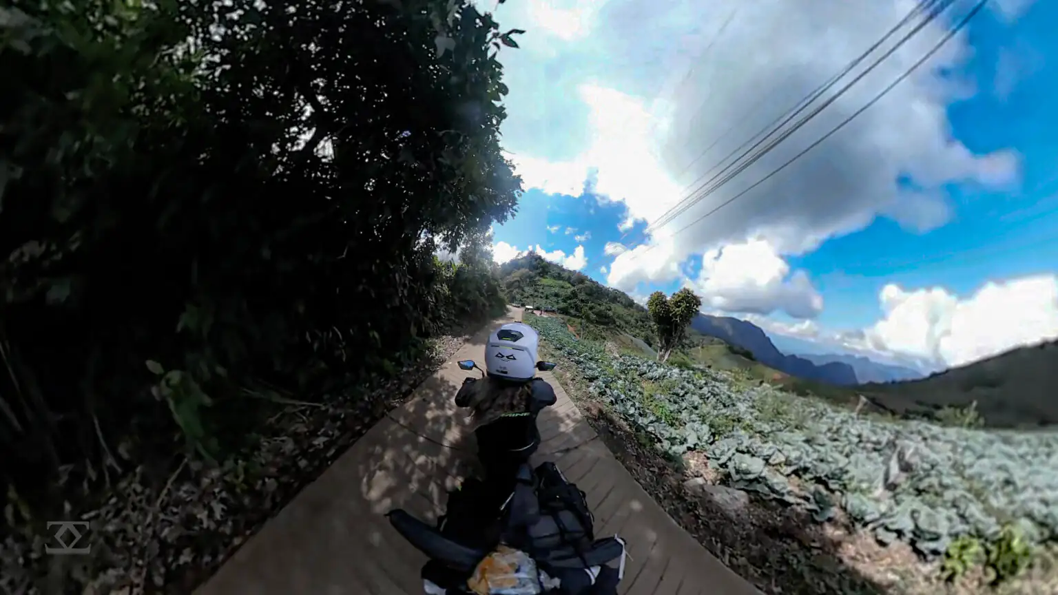
An early morning start resulted in quiet beautiful foggy mountain views on the popular R1095 route to Pai. This route boasts 762 curves that snake around the scenic Thailand forestry and jungle.
Coffee We (Witches Hut)
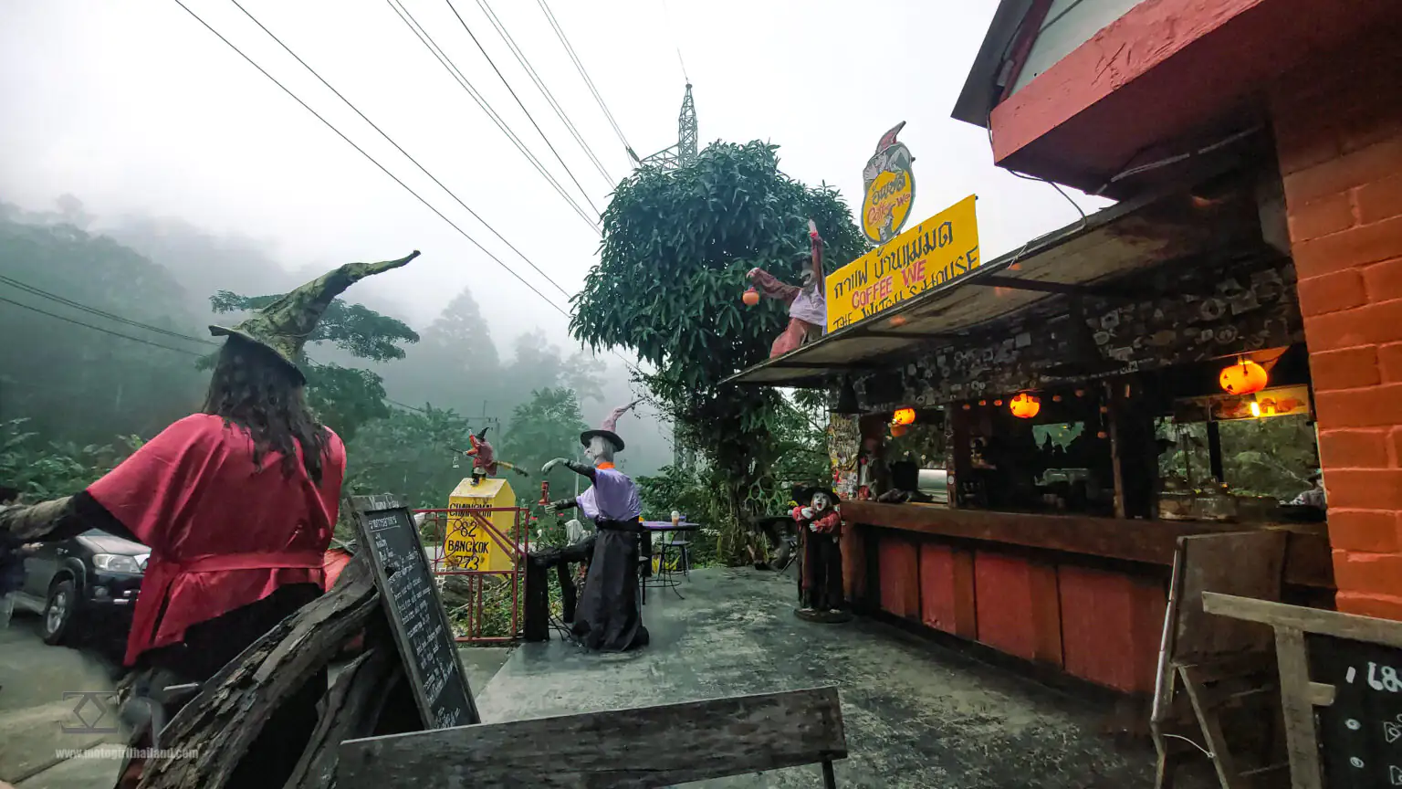
Open daily from 6:00 AM to 5:00 PM and offers a variety of drinks and light snacks.
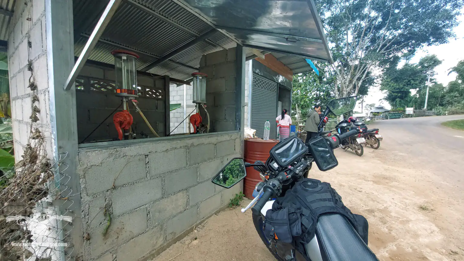
My first stop was a morning coffee stop at the wonderful Coffee We, for a hot cappuccino and a warm-up. 60 Baht.
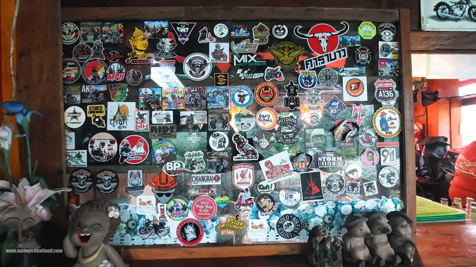
Coffee We The Witch’s House, also known as “กาแฟบ้านแม่มด” or “Witch’s House Coffee,” is a uniquely themed café located along Highway 1095 in Pa Pae, Mae Taeng District.
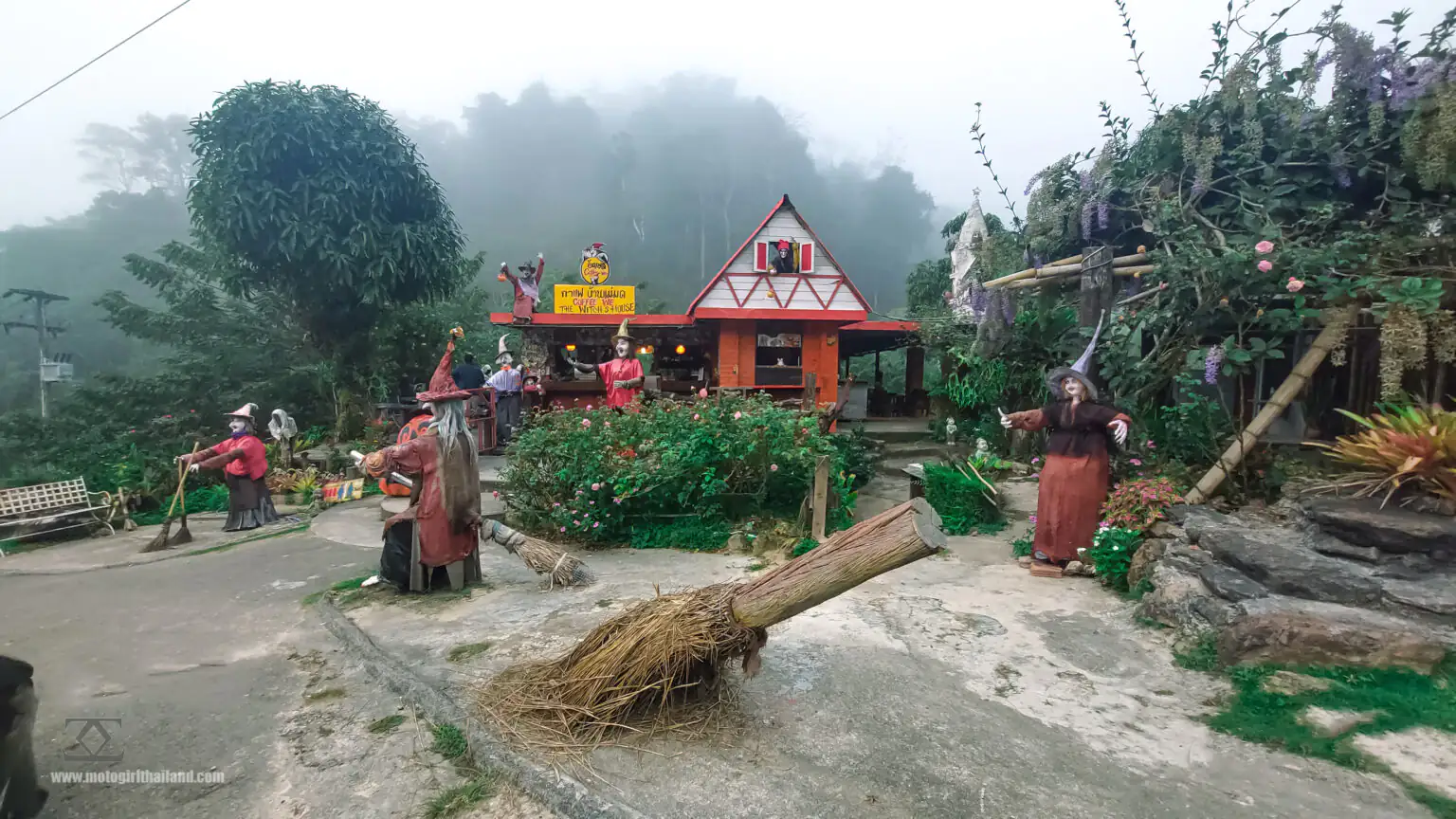
The owner, who often dresses as a witch, has a passion for collecting witch-themed items, and the witch-themed decor can be found throughout the entire cafe.
It is a popular stop for motorcycle riders, and multiple bike stickers can be found on the cafe shutters.
Pai Town
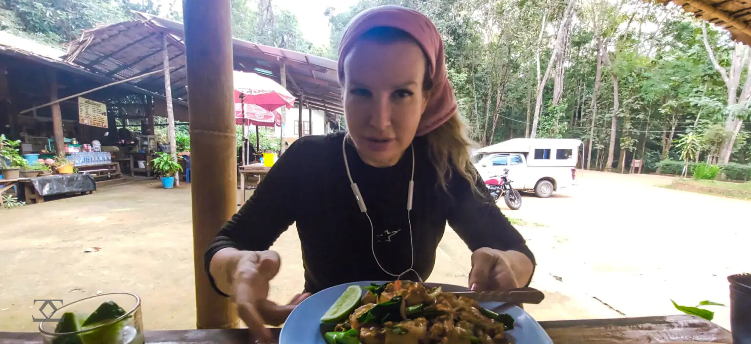
The glorious mist continued for the rest of the route and upon reaching Pai; a popular mountain tourist town. Pai was already awake by the time I arrived, full of its usual mix of travellers, cafés, and morning energy. I stopped briefly for coffee, watching people in shorts and sandals while I quietly appreciated every layer of clothing I had packed. After fuelling up I took a quick ride through the town and stopped in at Cafe d’ tist for breakfast.
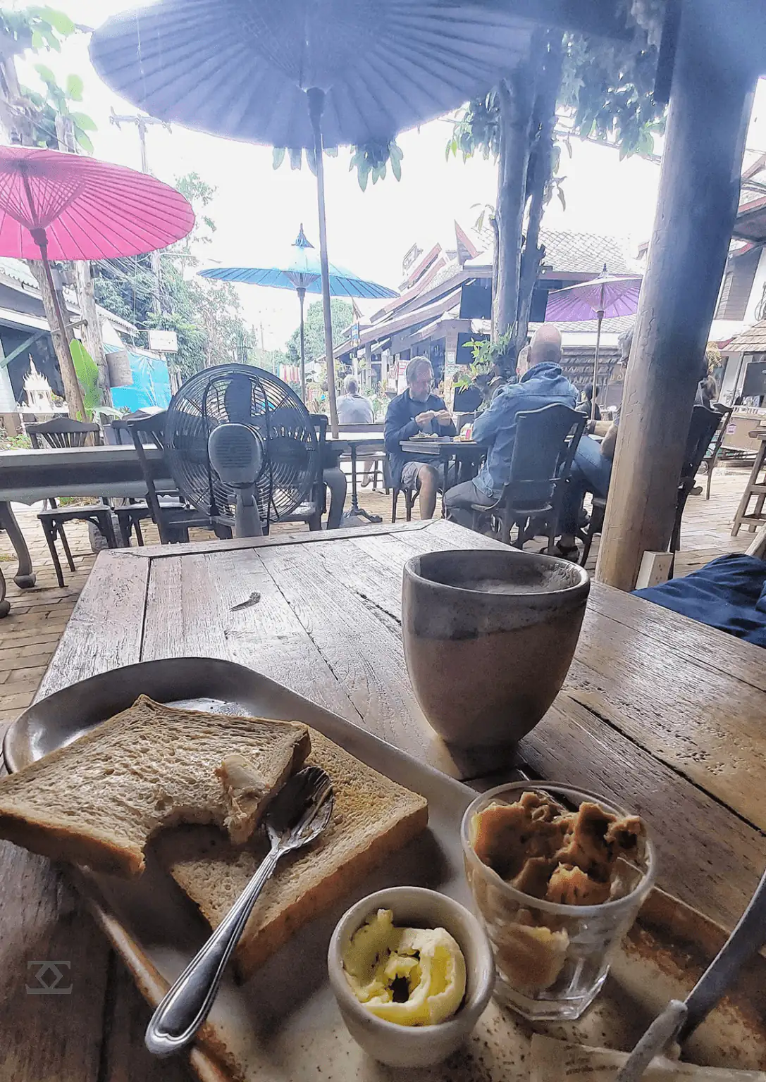
Not too much appealed to me on the Cafe d’tist menu, if I’m honest, (and the staff were surly), so I just ordered coffee and toast with peanut butter. I ate one slice and packed away the other slice for later, which I ended up giving to a happy dog later on down the road.
A quick pit-stop…. Funny moment
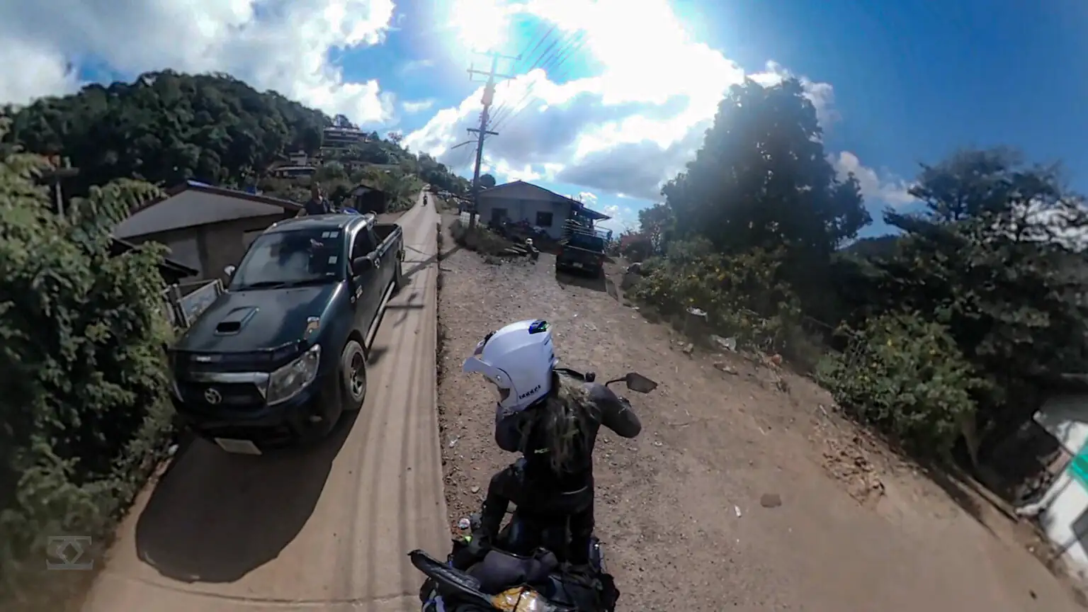
Arrived Ban Jabo
Road condition: concrete and steep in sections
Ban Jabo Overview
Ban Jabo is a small hilltribe village perched high in the mountains of Mae Hong Son Province, close to the Myanmar border. It is home to approximately 226 residents, primarily belonging to the Black Lahu (Lahu Na) ethnic group, and operates as an ecotourism community.
History of Ban Jabo
50 years ago the villagers used to reside in Ban Huai Yao, a pretty valley with fertile land and a stream- roughly a kilometre from Ban Jabo. However, after many villagers died from malaria they moved to the higher ground of Ban Jabo, where the winds were strong enough to blow the mosquitos away. The village was then named Ban Jabo (House of Jabo) after the village headsman.
This village, like many hill tribe zones, was previously known to cultivate Opium Poppies for a living. That is until 40 years ago, when a Thai-German Highland Development Project plus aid from the Thai Royal Project, helped to develop the community. The development project brought in knowledge about highland farming, which gradually changed the landscape in Ban Jabo from poppies to cash crops such as highland rice.
Later, a road was constructed, plus other basic facilities (i.e. electricity and a water system) were installed. Important amenities followed, such as a school and finally, the villagers were provided with official ID cards. Around 15 years ago, with support from the Thailand Community Based Tourism Institute, Ban Jabo kicked off its tourism project, offering Homestays, trekking, farming experiences, and demonstrations of traditional ways of life.
Ban Jabo Today
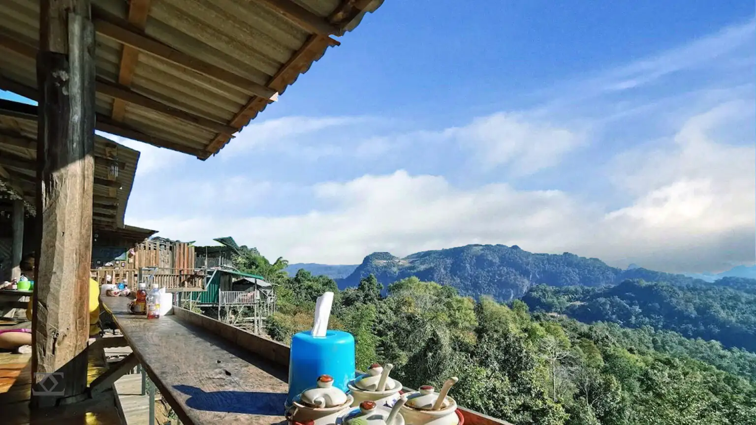
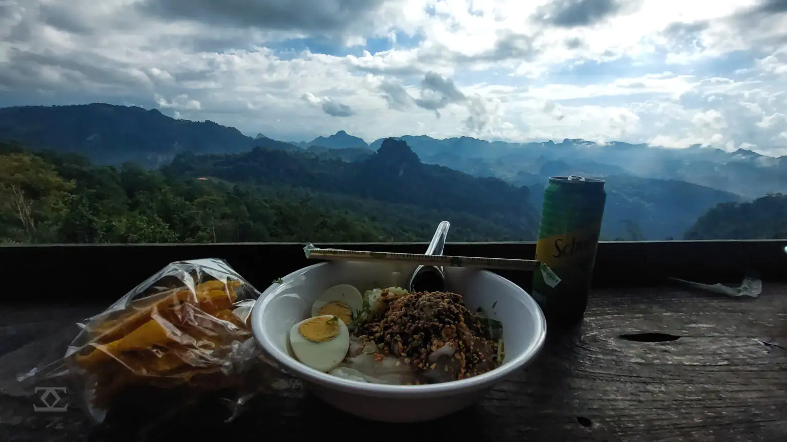
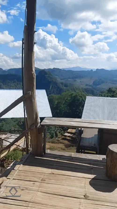
In recent times, Ban Jabo has become famous for its dramatic cliff views, warm hospitality, and cliffside noodle shop (ก๋วยเตี๋ยวห้อยขาบ้านจ่าโบ่) , overlooking a deep valley filled with morning mist.
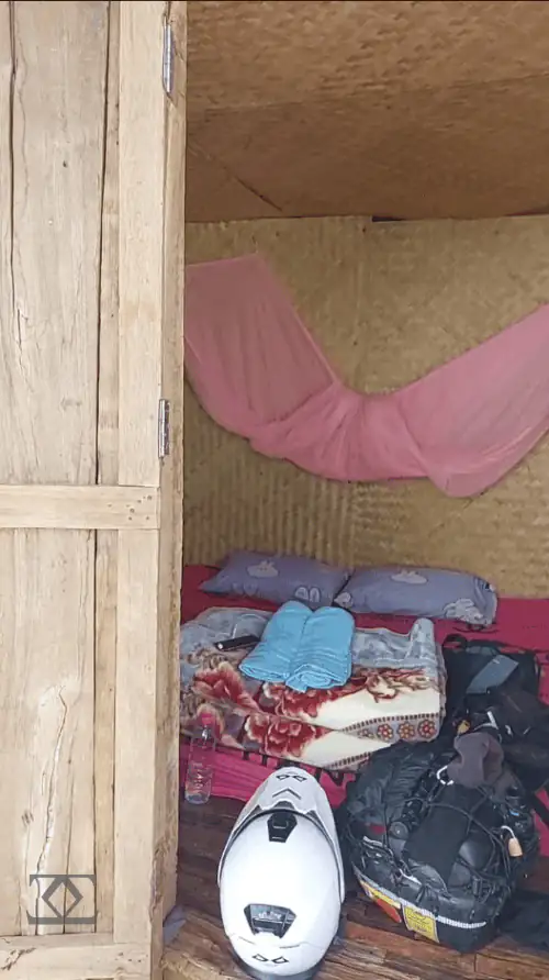
When I arrived at Ban Jabo, I had a hard time finding accommodation. I usually try to secure something before arriving at a place, but I had a hard time finding information for the homestays, so decided to wing it. Homestays are very limited, so I was extremely lucky to find a hut after initially being told no by each village member I asked.
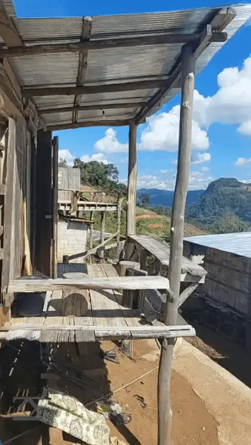
Prices. Prices can vary from Homestay to Homestay, depending on the viewpoint and size of the bungalow. I stayed in a small bungalow that did not offer the best view, and was charged 400 Baht, which I was happy with.
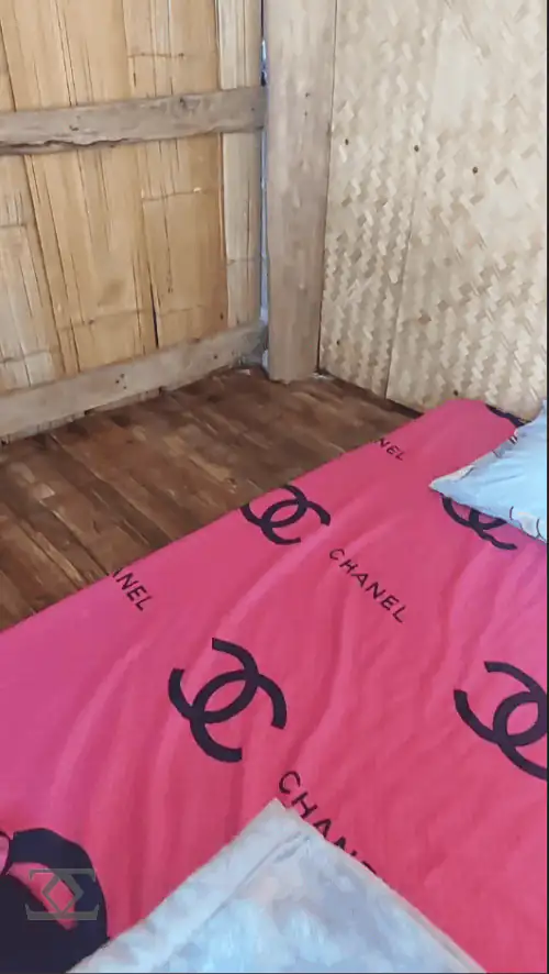
As expected, the homestay accommodation is a simple setup. Simple but clean and comfortable enough for a good night’s sleep (as long as your neighbours are quiet. Thankfully I remembered to pack earplugs. I recommend doing the same. Everyone was asleep by around 10 pm though).
I dropped off most of my gear in the room and then headed off on my bike towards Myanmar.
Route to Loi Tai Leng, Myanmar
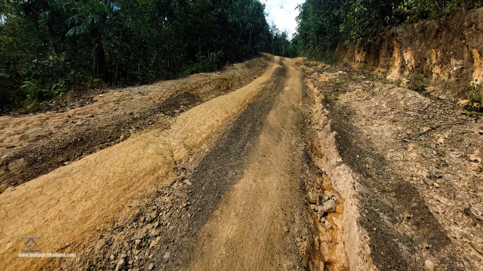
Road Condition: Starts off ok (concrete), but turns to dirt later
For around 20 km the route to Loi Tai Leng border is concrete and mostly in good condition.
The route passes through scenic small villages, beautiful viewpoints and lastly, a sleepy checkpoint with horses, where the guards awoke, surprised to see me.
Dirt Route to the Monument of King Naresuan
I was really excited about seeing this outpost and monument, which has around 8 km or so dirt to ride in order to reach it.
The route started out simple enough, but then I made a stupid mistake and dropped my bike. I was maybe only halfway to the monument, possibly less in fact, but my courage was shot. A year ago I had a bad fall on compacted clay and my ankle had only just fully recovered, so I lost my nerve.
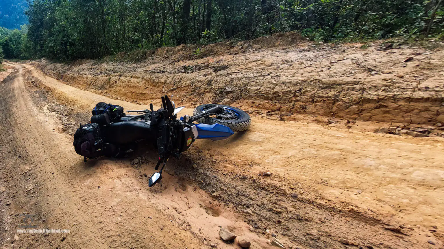
I made the decision to turn back and execute plan B. Felt a little deflated, but no matter, moving on…
Plan B: Tham Lod Cave
Instead of sitting with a deflated feeling, I decided to head Tham Lod Cave, 45 km away. I knew it would take my mind off the failed attempt, seeing as it is such a beautiful cave.
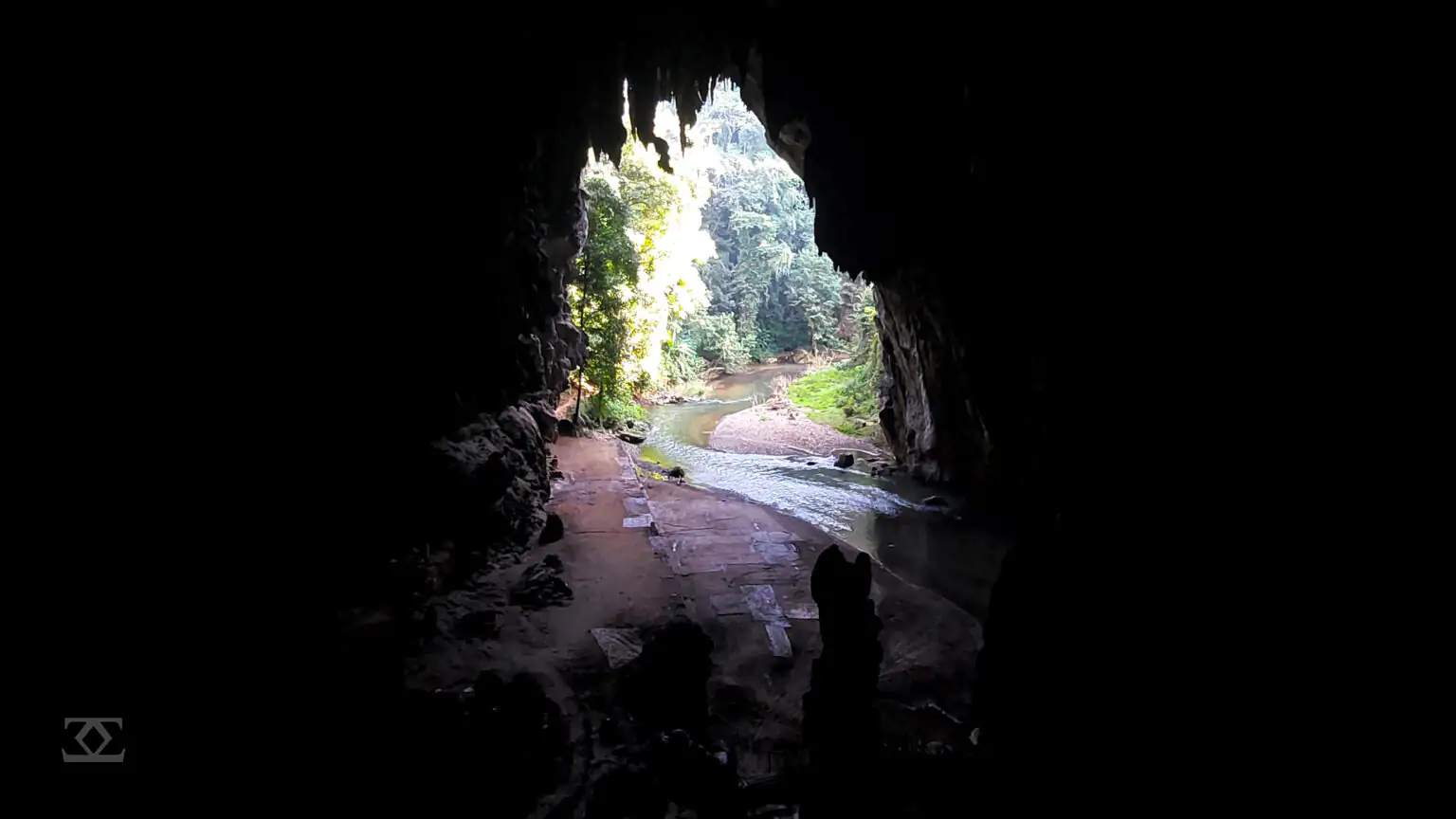
Tham Lod is a huge natural limestone cave system featuring a myriad of geological formations and columns which reach over 20 meters high.
History Of Tham Lod Cave
Tham Lod Cave cave spans 1600 meters and contains a large number of Swifts and bats. An additional main attraction is the 300-metre freshwater stream which runs through the middle of the cave, which visitors can experience via a bamboo raft.
Stone Age drawings and coffins within the cave were discovered in the 1960s by American anthropologist and archaeologist, Chester Gorman. Chester surmised that the cave had been occupied by the Hoabinhian hunting tribe during the pre-historic era, (between 9000 BC and 5500 BC). The Hoabinhians were a community of hunter-gatherers, who used primitive tools such as short axes and hammers made from bone. Their diet consisted of leguminous plants and various other fruits and vegetables, such as betel, and almonds.
Additional info
Allow at least one hour if you book a guide for all three caves. There are also a lot of steep wooden steps and uneven ground in the cave, so a fairly decent level of fitness is required. As an aside, my guide was 82 years old and fit as a fiddle! *Top Tip* If you wait until 5-6 pm you will see Swifts and bats fly out of the cave.
Food Options at Tham Lod Cave
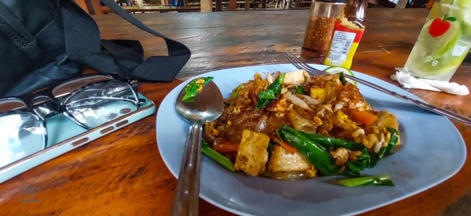
Tham Lod was closing up by the time I exited the cave, but the food stalls were still serving. I ordered myself some a thick noodle dish and then headed back to Ban Jabo.
After eating, I wanted to get back to Ban Jabo before sunset, so was in a bit of a rush. However, when I reached Pang Mapha it was gridlocked due to a huge procession.
After eating, I wanted to get back to Ban Jabo before sunset, so was in a bit of a rush. However, when I reached Pang Mapha it was gridlocked due to a huge procession.
A policeman held me (and others) back for a fairly long time. I confess, that despite it looking beautiful, I just wanted to get back and take a shower. I now wish I had just pulled over to the side and taken some photos and videos of the beautiful parade, but I had run out of steam. I waited patiently and finally, traffic was allowed to continue. I slept well that night.
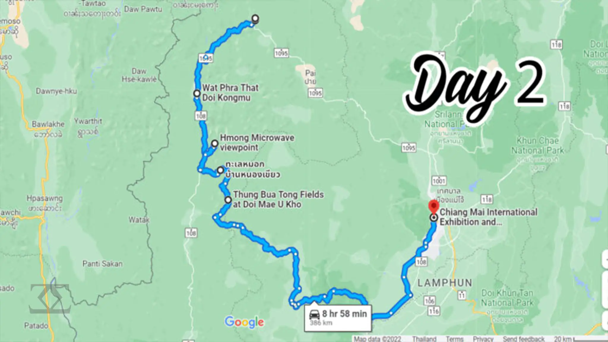
Inbound Ride – Ban Jabo to Chiang Mai (via Mae Hong Son & Meo Microwave) 386 KM
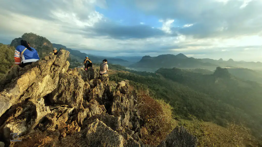
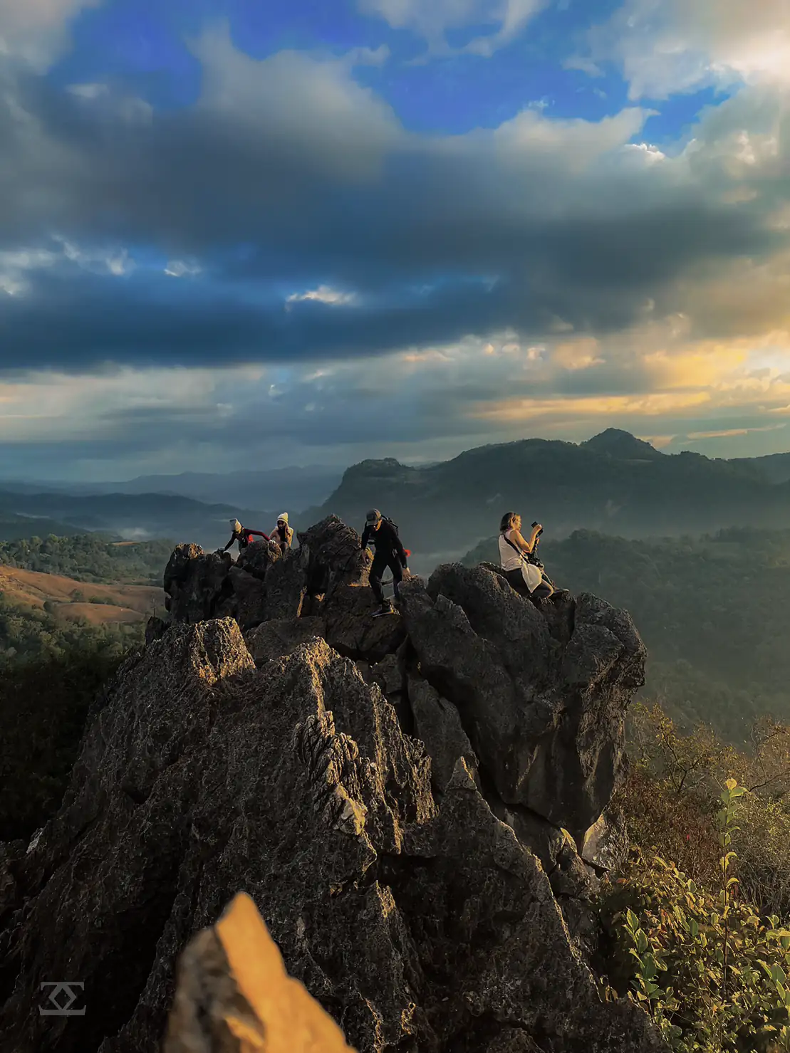
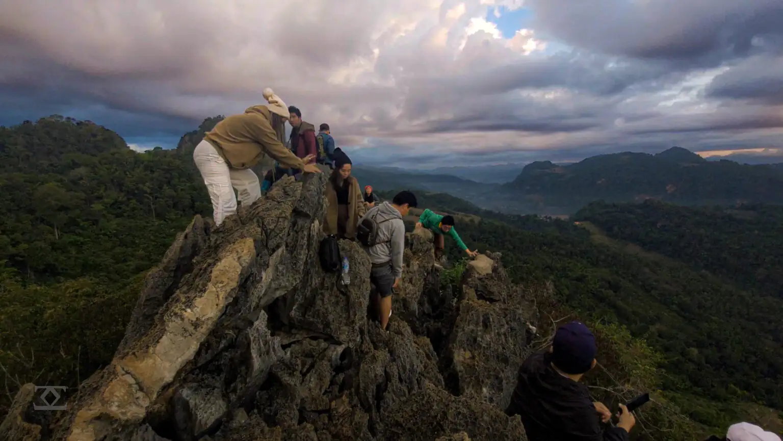
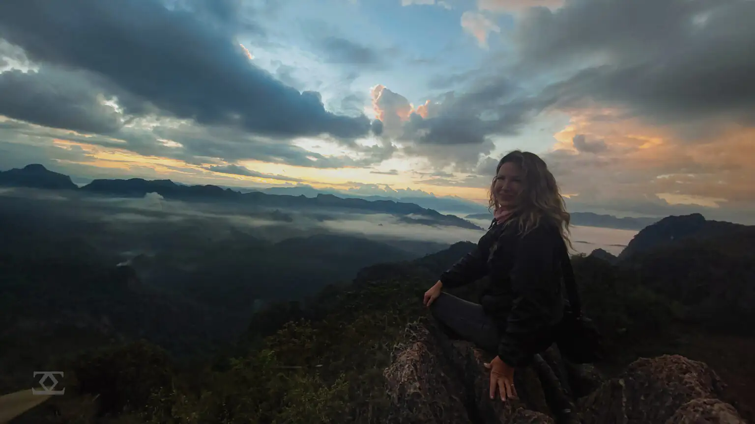
Sunrise Viewpoint at Ban Jabo
The next morning, I awoke before sunrise and headed off on my bike to the sunrise viewpoint.
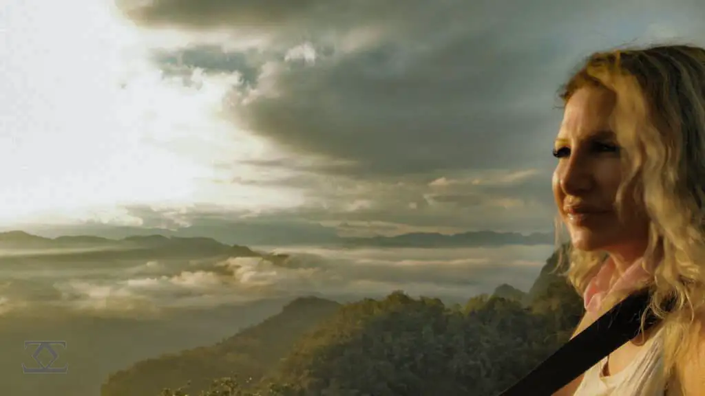
A couple of vehicles were already parked at the base when I arrived, and I noticed one couple being guided up by a local Lahu lady. Lucky! I decided to tag along behind. Part of the way up I was slightly accosted by two local ladies and asked to pay 100 Baht. Curious, I asked why, but got no explanation. Regardless, I paid and continued on.
The route up was pretty steep, with sharp jagged limestone rock, and a little treacherous in the pitch black. Thankfully I had a decent enough torch on me to help keep my footing.
Once at the peak, I stuck my courage to the sticking place place and did not look down too much!
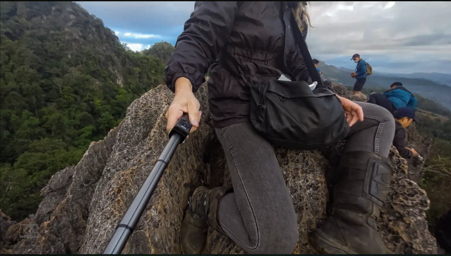
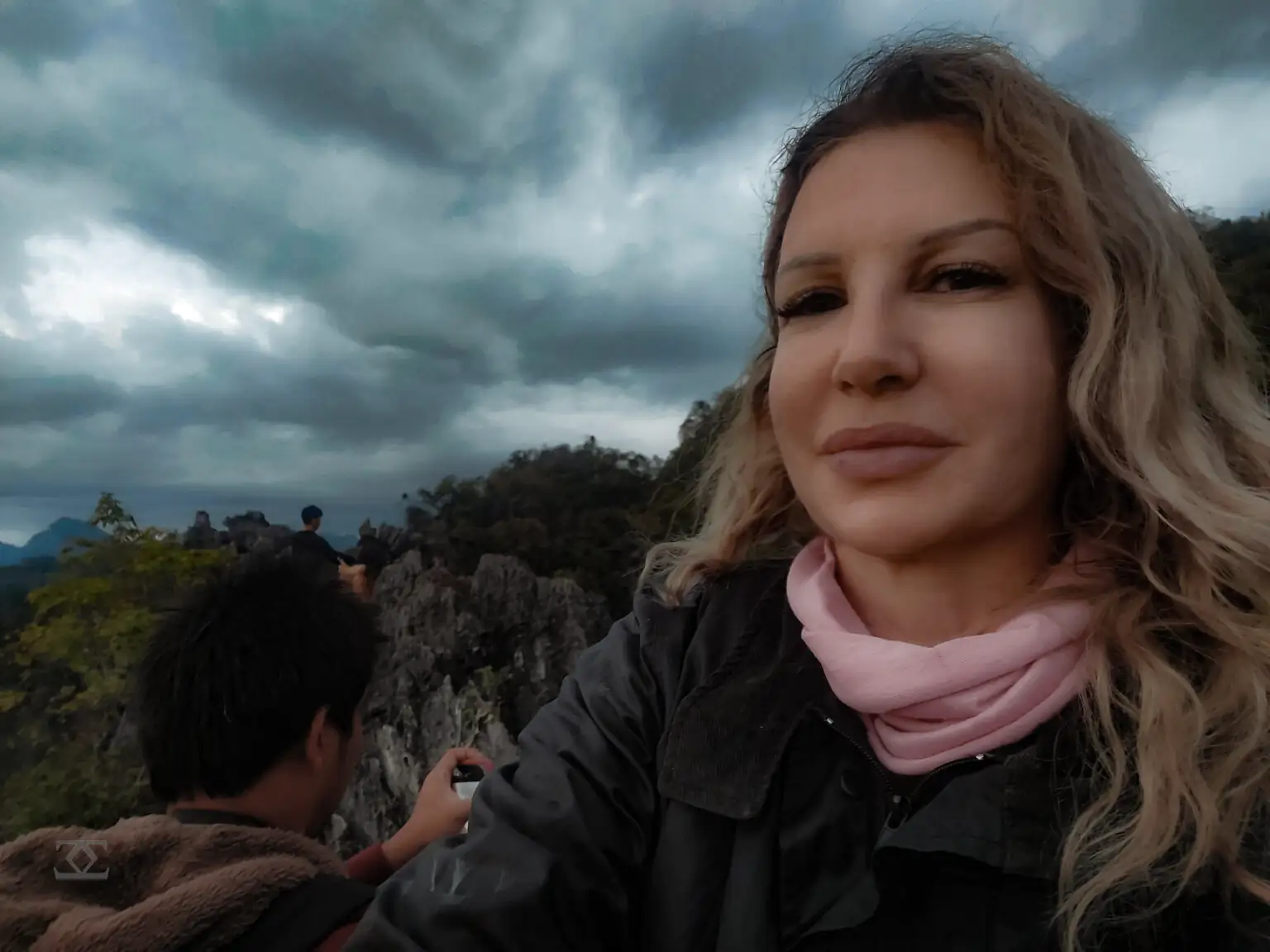
The peak was a little busy too, with everyone jostling for a position, but the vibe was friendly.
On the plus side, the busy aspect did mean I was able to get some people to take a couple of photos of me.
There was a nice comradery of everyone appreciating the beautiful view.
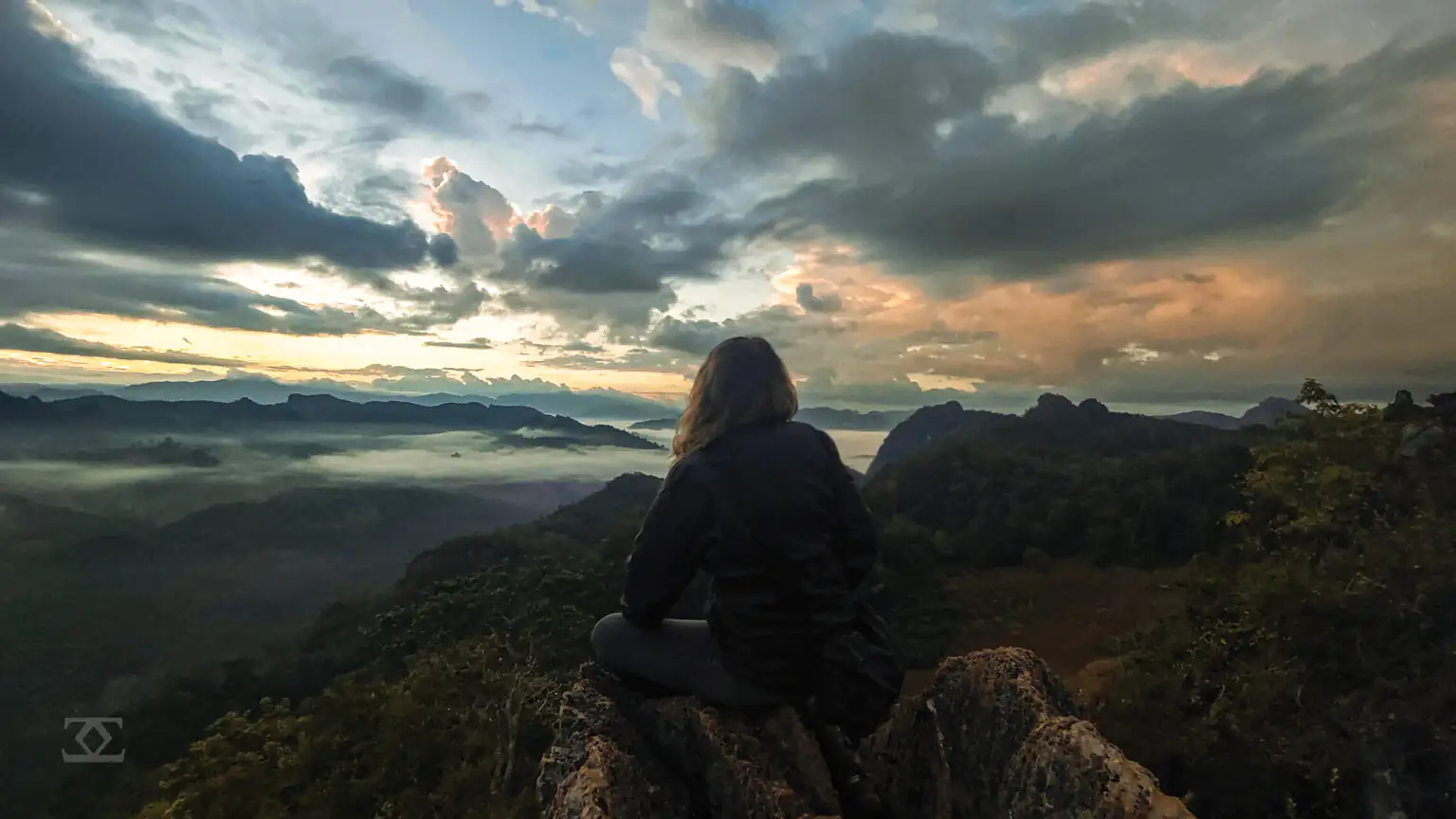
There wasn’t quite the sea of fog I anticipated due to slight rain, but it was still spectacular.
After the viewpoint, I headed back to the homestay to pack up. Luckily I was just in time because the heavens opened up and it began pouring. It didn’t last too long though, so I said my goodbyes to my Lahu host and stopped in at Ban Jabo Noodle Soup House to try out their famous 30 Baht noodles.
Tasty, but seeing as I don’t eat meat I didn’t add the soup, which made the noodles a little on the dry side.
Ban Jabo to Mae Hong Son
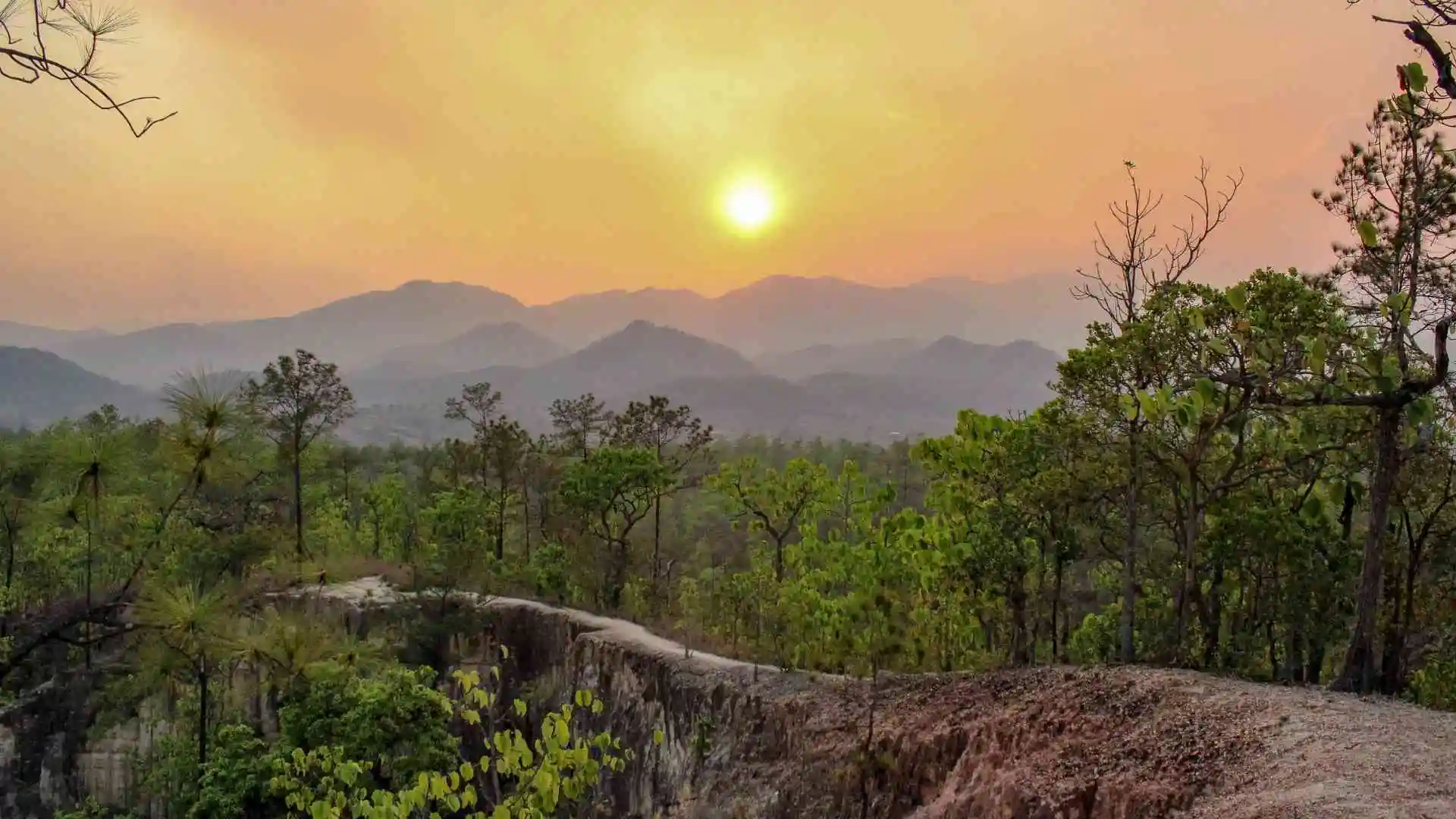
The R1095 stretch between Ban Jabo and Mae Hong Son was, as usual, absolutely glorious. There is something really beautiful about that section of the road. It isn’t a challenging road or a road that has unexpected surprises, so it puts you in a kind of meditative trans. At least for me. Almost as if the road is pulling me along like I am on a conveyor belt, rather than me riding it. I had one quick stop at the Pang Mapha viewpoint and then headed off to have coffee and a visit to Wat Phra That Doi Kongmu, in Mae Hong Son.
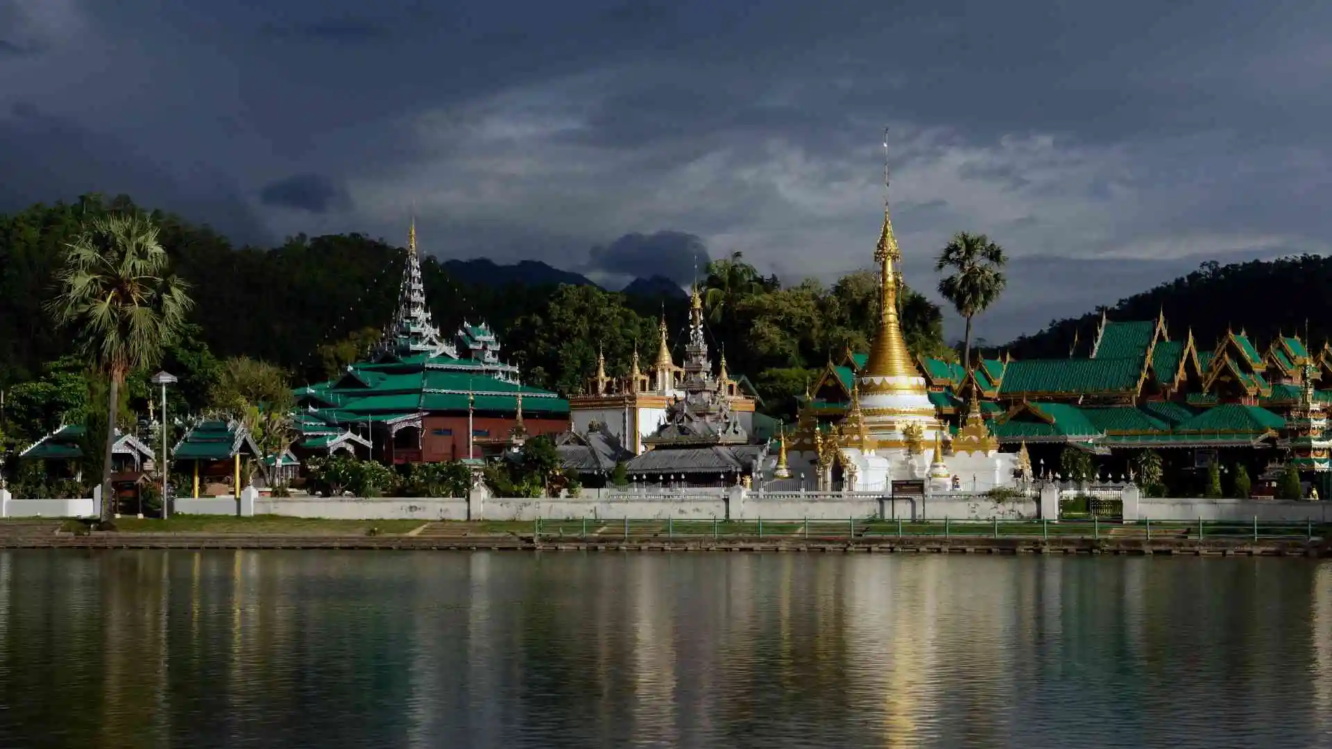
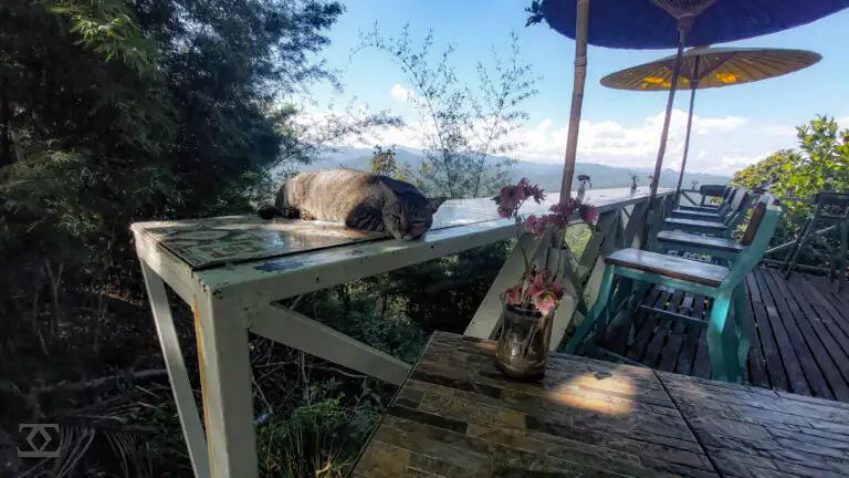
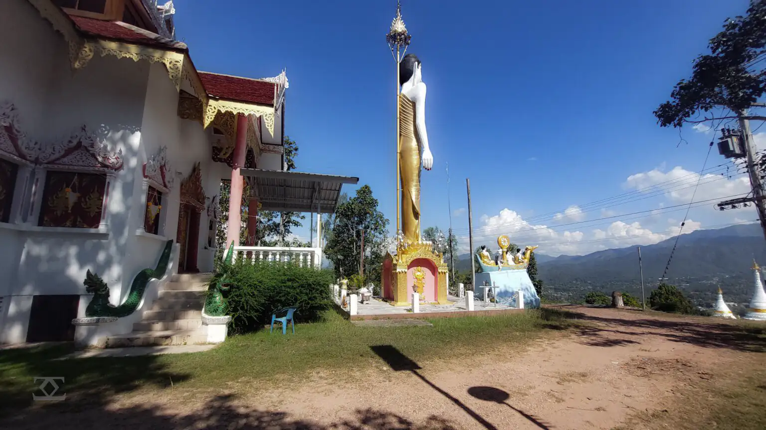
Wat Doi Kongmu & Before Sunset Coffee
My first stop inside Wat Doi Kongmu was at Before Sunset Coffee, situated within the temple grounds. I bought a refreshing coffee and enjoyed a bit of cat time.
Wat Phra That Doi Kongmu
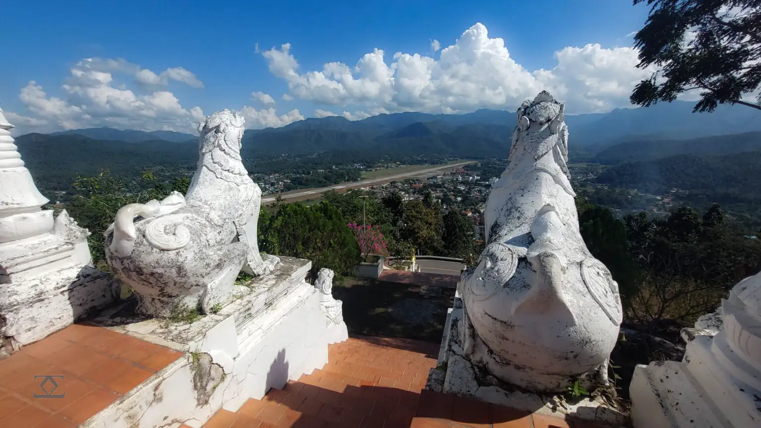
Wat Doi Kongmu is a stunning Burmese-inspired temple that stands 1,300 m (4,265 ft) above sea level. Two large stupas are located within the temple.
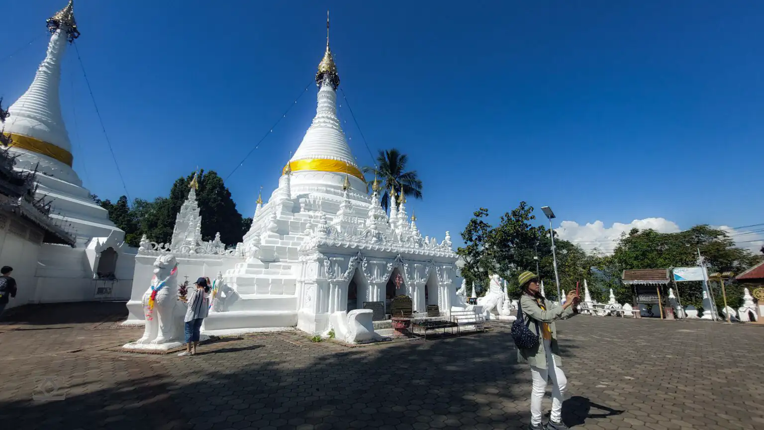
The largest stupa enshrines the relics of Maudgalyayanan (one of Buddha’s closest disciples), built in 1860 by a wealthy Tai Yai merchant named Chong Tong Su. The smaller stupa was built in 1872 by Phraya Singhanatracha, the first governor of Mae Hong Son.
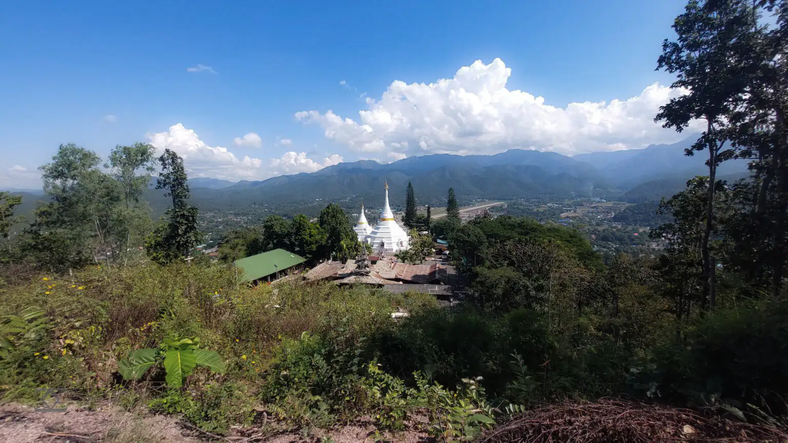
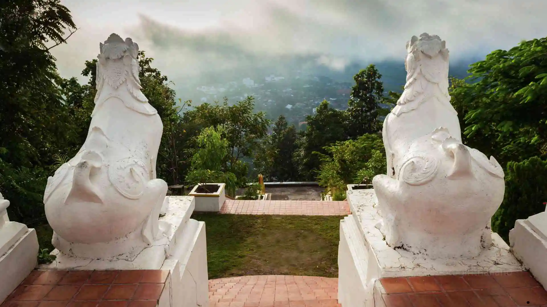
The temple provides stunning panoramic views of Mae Hong Son.
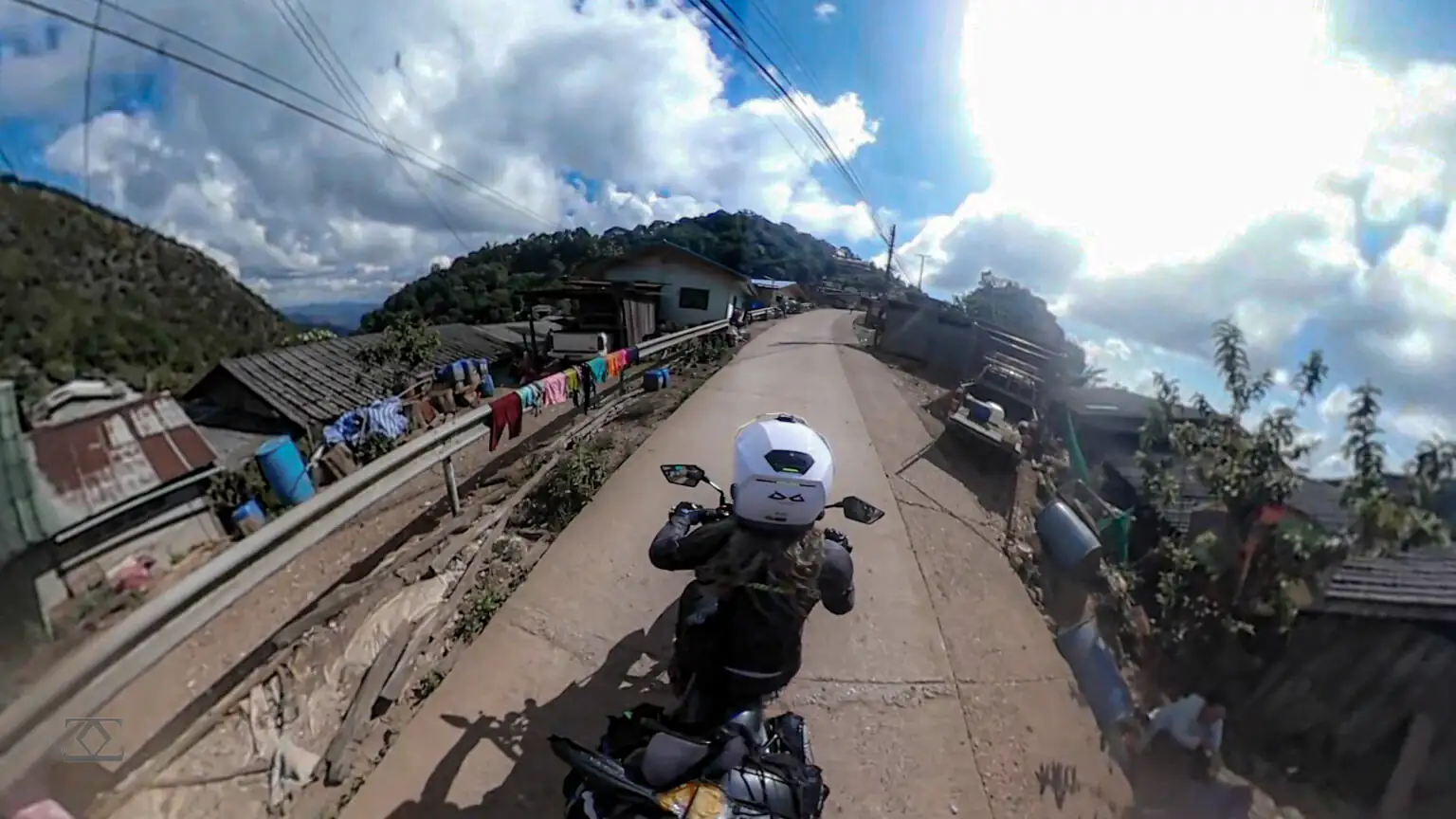
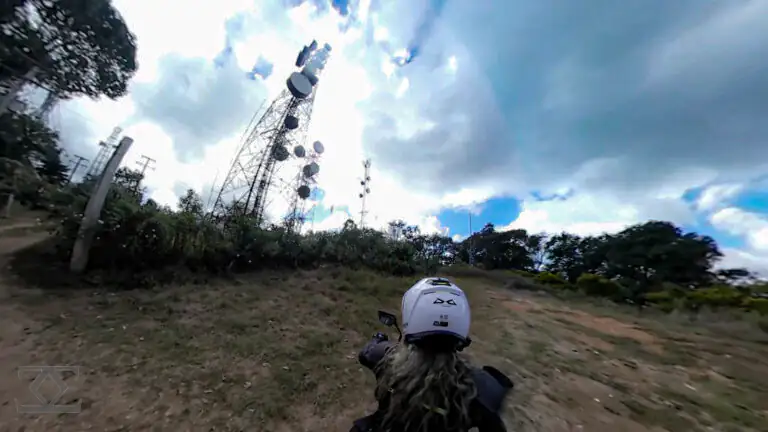
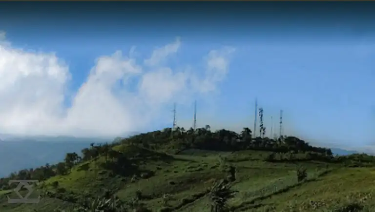
Meo Microwave Village
Road condition: concrete and narrow to the village
Continuing the theme of visiting some of the amazing ethnic minorities in the north, I headed towards the Hmong Tribal village known as Meo Microwave.
The ride up to this village is along a narrow mountain route and trucks tend to high-tail past, so I was kept on my toes whilst riding up.
Approximately 600 Hmong occupy this village and live their lives in fairly simple traditional ways.
Mostly the area is farming territory and a variety of plants are grown, such as carrots, cabbages, and tomatoes.
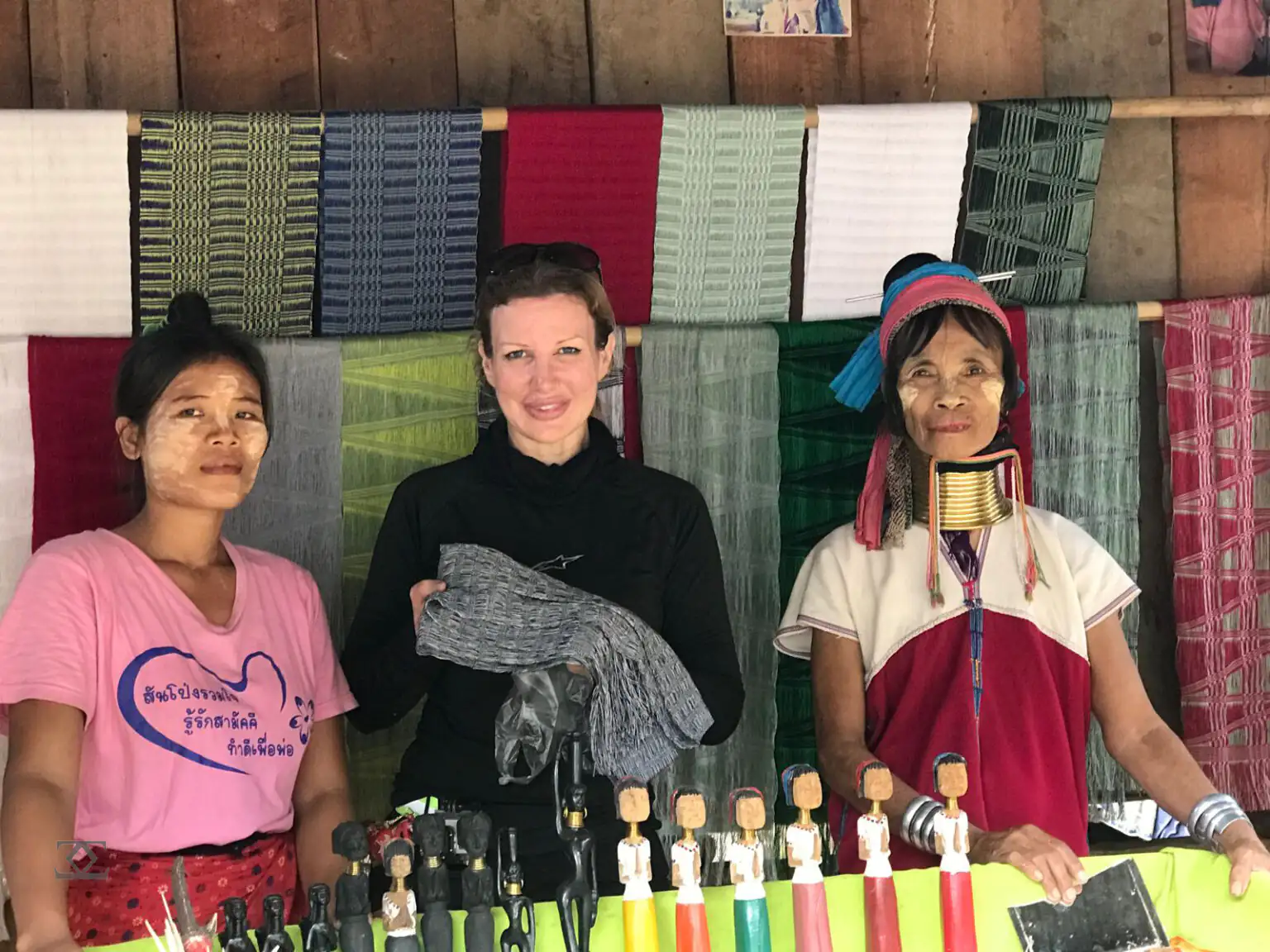
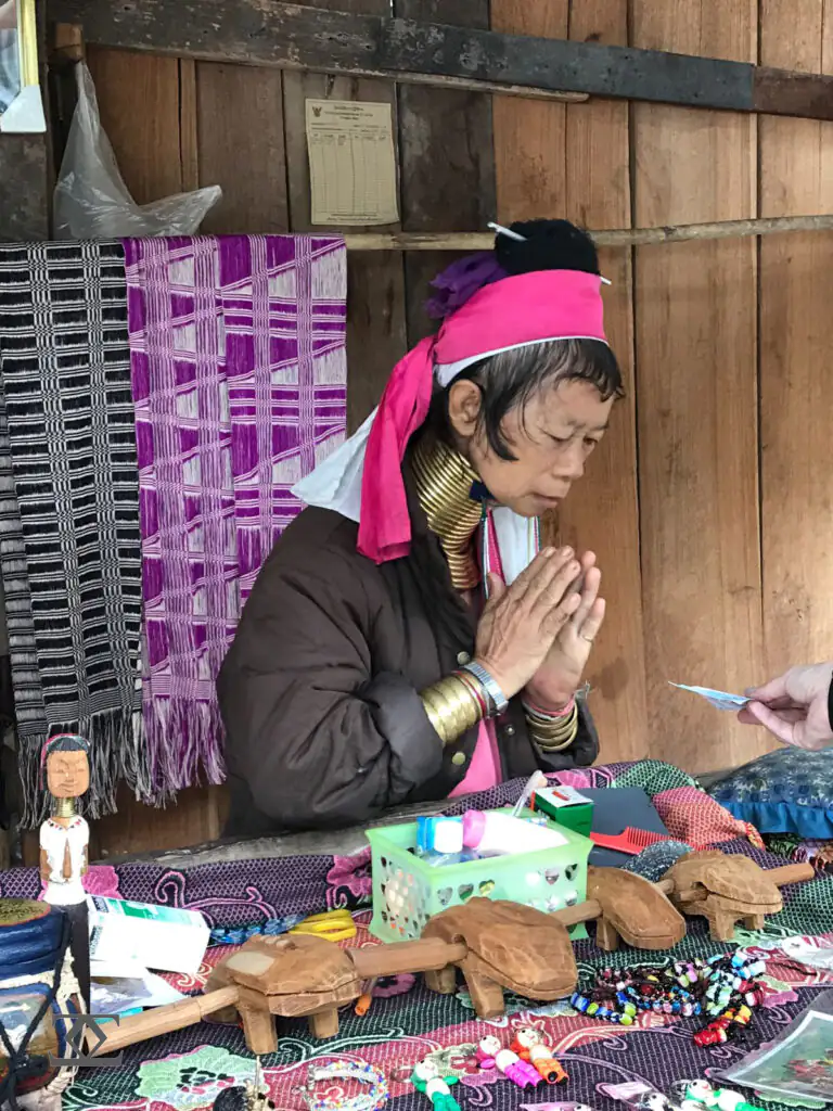
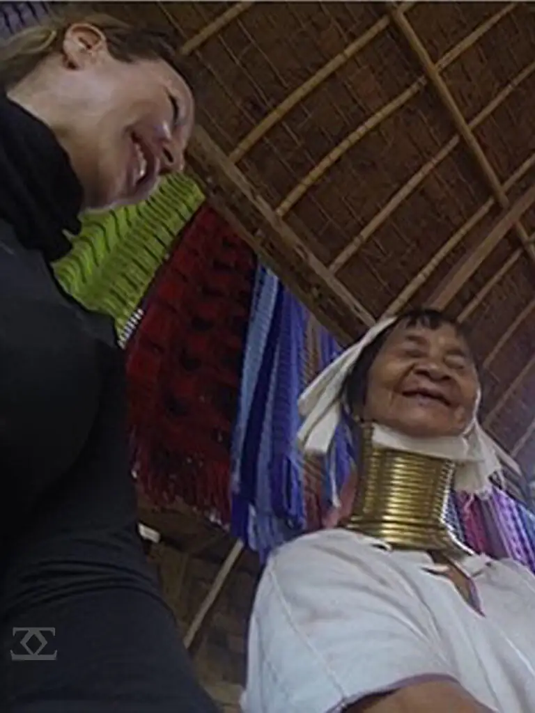
Around this area too are Kayan Hilltibe communities (such as the “long neck” tribe – see below), which I have visited on other occasions.
The R4009
Next up was the R4009. This route is (in my opinion) one of the most exhilarating routes to ride in northern Thailand. Unwavering concentration is required for riding this super steep tight switchback route that leads out to Ban Nong Khiaw Reservoir, Mae Surin National Park and the famous Sunflower fields at Doi Mae U Kho.
When I reached Doi Mae U Kho the flowering Mexican Sunflowers, as expected, were already gone (they bloom in November period and it was already December). Still, a lovely route though and unlike November, nice and quiet. The video below shows how the area normally looks during November when the flowers are in full bloom. (Guide to The Bua Tong Sunflower Fields)
Last leg: Homeward bound back to Chiang Mai
Road condition: smooth tarmac.
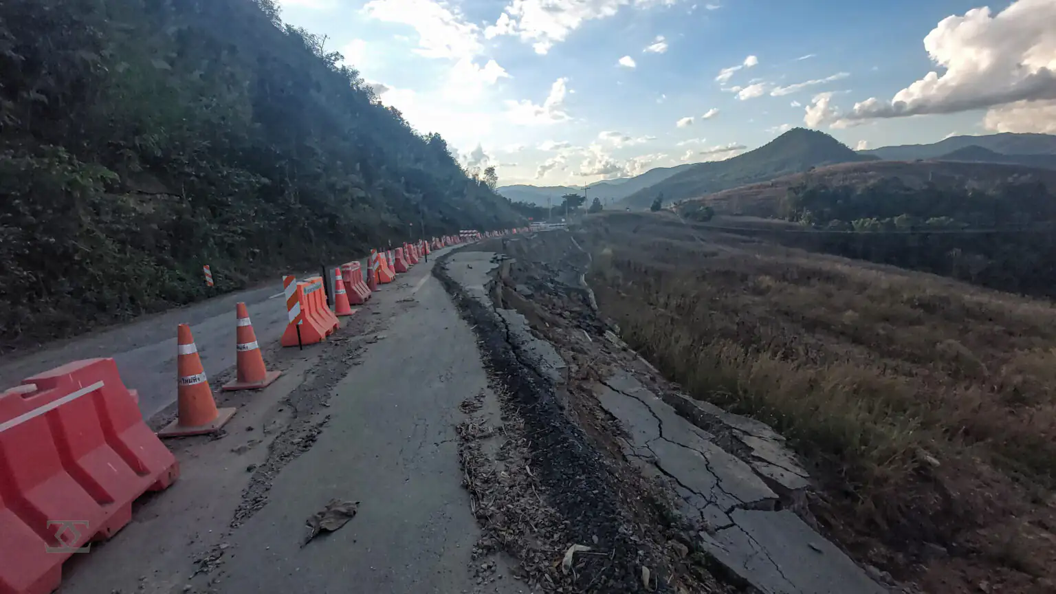
(Although Mae Chaem area was undergoing resurfacing in sections at the time.)
Initially, I didn’t intend to ride this long leg back to Chiang Mai. I had planned to camp out and then head back the next day. However, I sometimes get a kind of homing pigeon feeling when riding out, and I suddenly wanted to head back to Chiang Mai. So, I decided to ride the last 220 km or so back to my home.
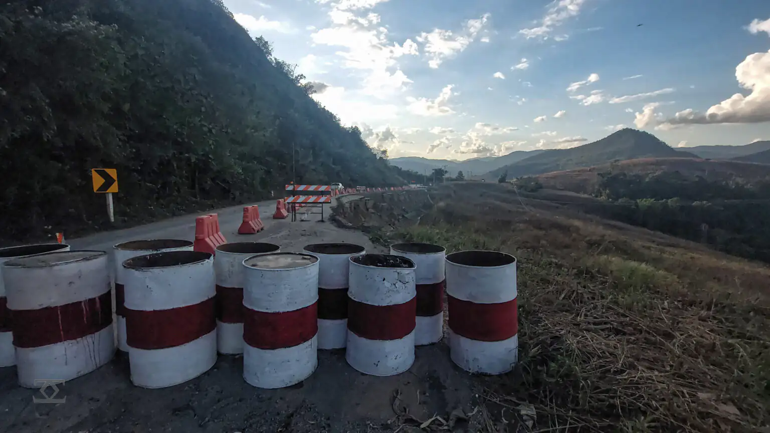
The Mae Chaem route was close to being completed (still undergoing a lengthy resurfacing), but a few sections of gravel made it a bit of a dusty ride back.
Arrived back in the dark, but was good to be home to my lazy little cat after a fun two-day ride out.
End
Did you enjoy this Ban Jabo ride post?
Drop a comment!