
Doi Hom Pok, Huamereng, Borderlands & Epic Mountain Vistas
Chiang Mai & Chiang Rai Province | Cool Season | 1250 KM Ride | 5 Days
This ride is in two stages and includes some spectacular places I visited on a quest to ride to a relatively unknown area called, “Huamereng”. Note: this area has since been paved.
Trip Report Route Maps are available for Subscribers🔒 Subscribe to instantly unlock this map and other Subscription Guides. Becoming a Subscriber unlocks amazing guides & gps routes
Unlock GPS Routes & All Classic Guides
Click to Close
Contents
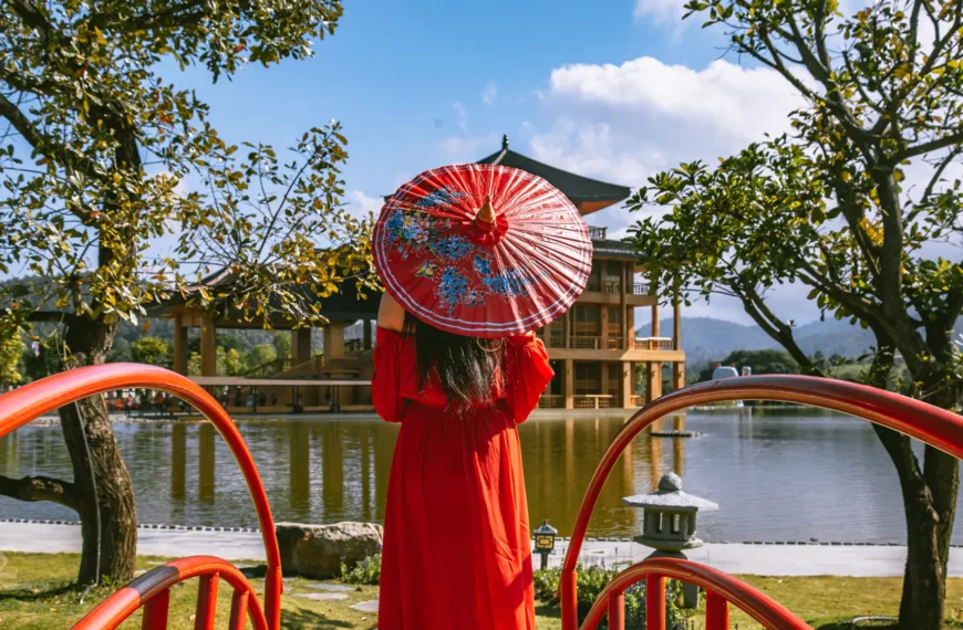
Hinoki Land: A Taste of Japan in Chiang Mai
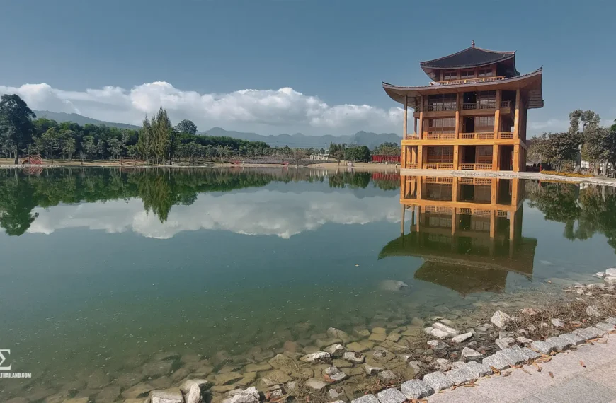
A Taste of Japan & the Glorious Thai/Burma Border
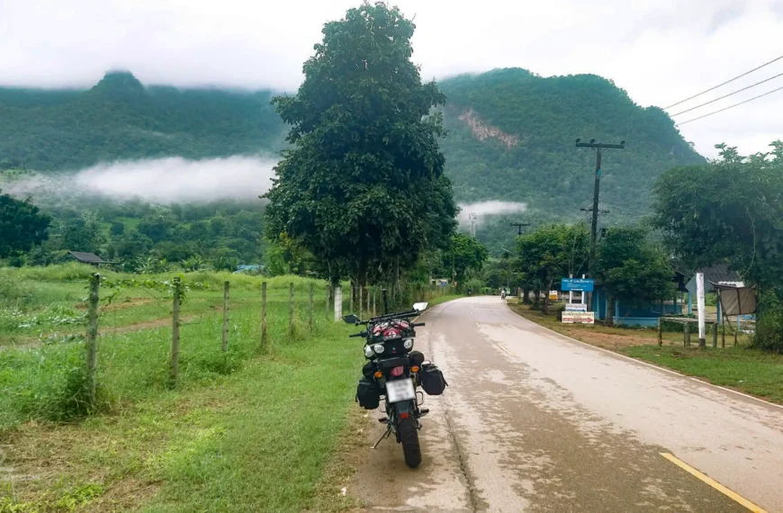
12 Hour Day Ride to Beautiful Muang Khong & Temples
Camping in Beautiful Pha Daeng National Park – Chiang Dao
Part 1 of Trip: The Quest for “Huamereng”
Whilst browsing on Google Maps, I spotted an intriguing road that I had never ridden, nor could find any information about.
The road appeared to lead to a viewpoint called Huamereng, which was the second-highest mountain in Thailand, following Doi Inthanon. This immediately piqued my curiosity, but little did I know what awaited me!
Day 1. Chiang Mai to Fang Via Doi Ang Khang
The ride out. Initially, I set off from Chiang Mai quite late, around 11:30 a.m. I had planned to leave earlier, but a poor night’s sleep threw me off schedule.
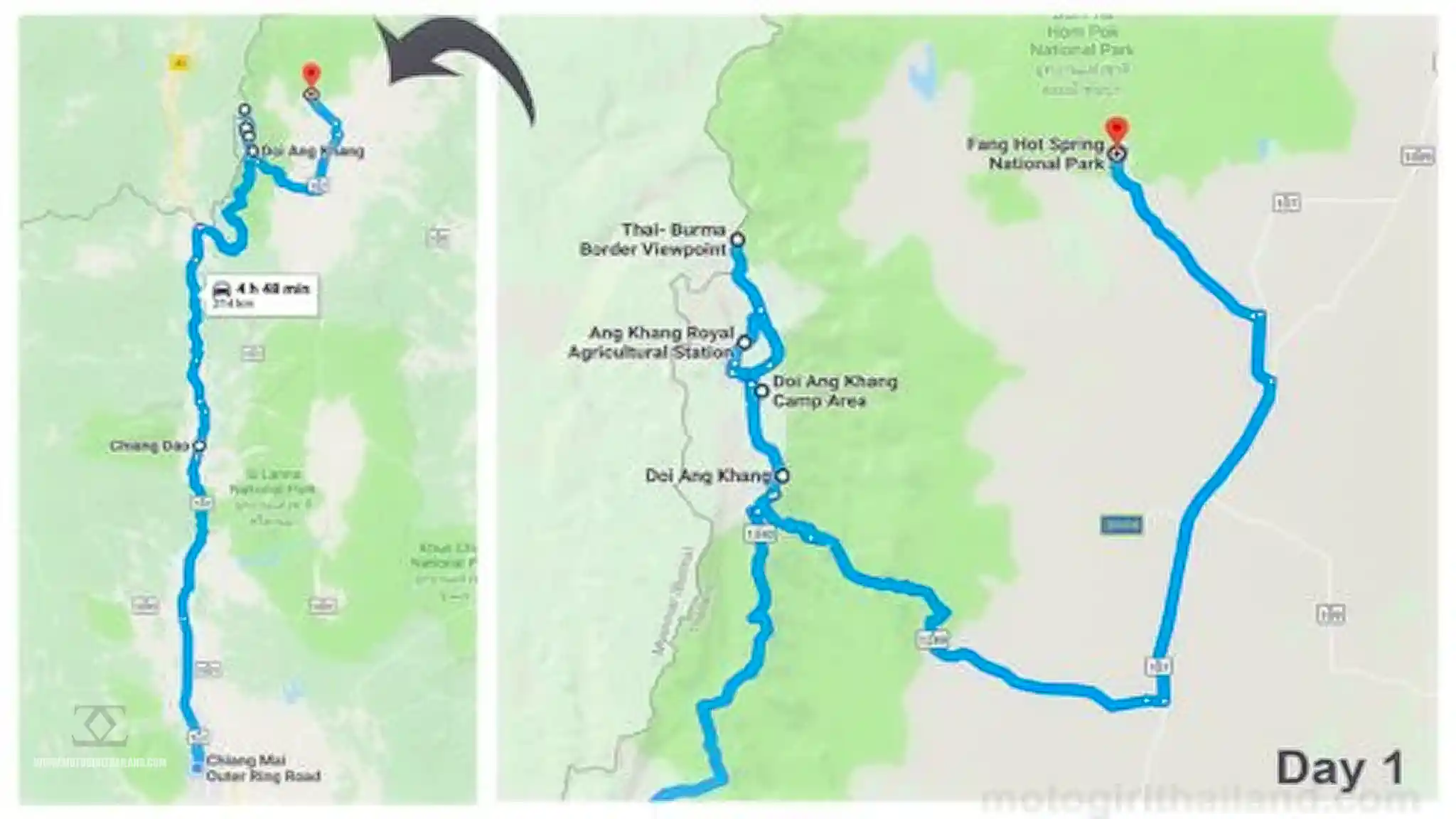
Once I got going I headed north with the goal of riding along the Thai-Myanmar border, past Doi Ang Khang. But first I needed a coffee!
Coffee Stop
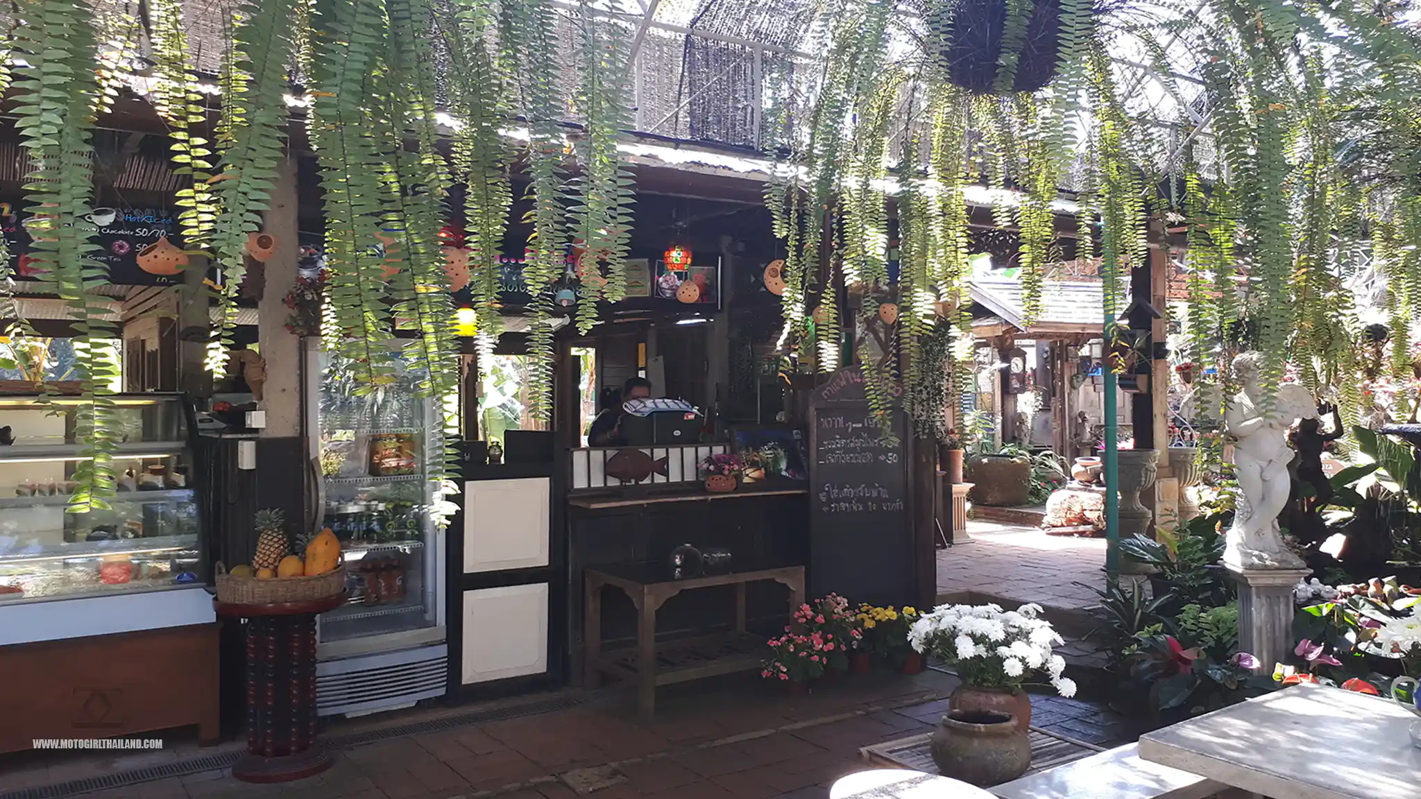
In Chiang Dao, I stopped at กาแฟในสวน for coffee. This cafe-restaurant is a nice relaxing venue offering a great view of Chiang Dao.
After the caffeine kicked in, I got back on my bike and headed up the R1178 straight to Doi Ang Khang, making my way to the Royal Agricultural Station (50 baht entry).
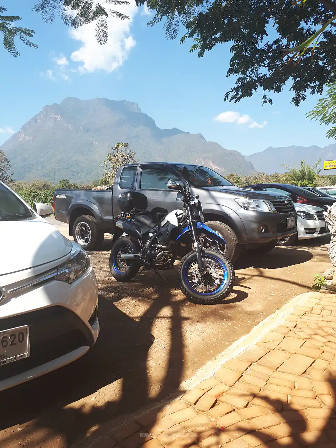
Royal Agricultural Station
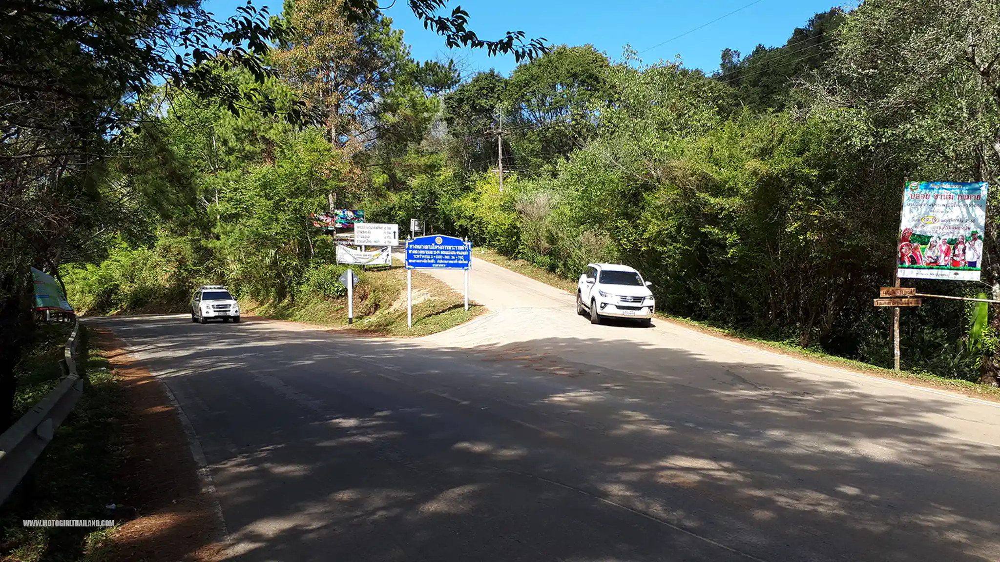
Ban Nor-Lae
Ban Nor Lae (บ้านนอแล) is situated at the end of the tourist route on Doi Ang Khang and serves as a border outpost, housing Thai security forces.
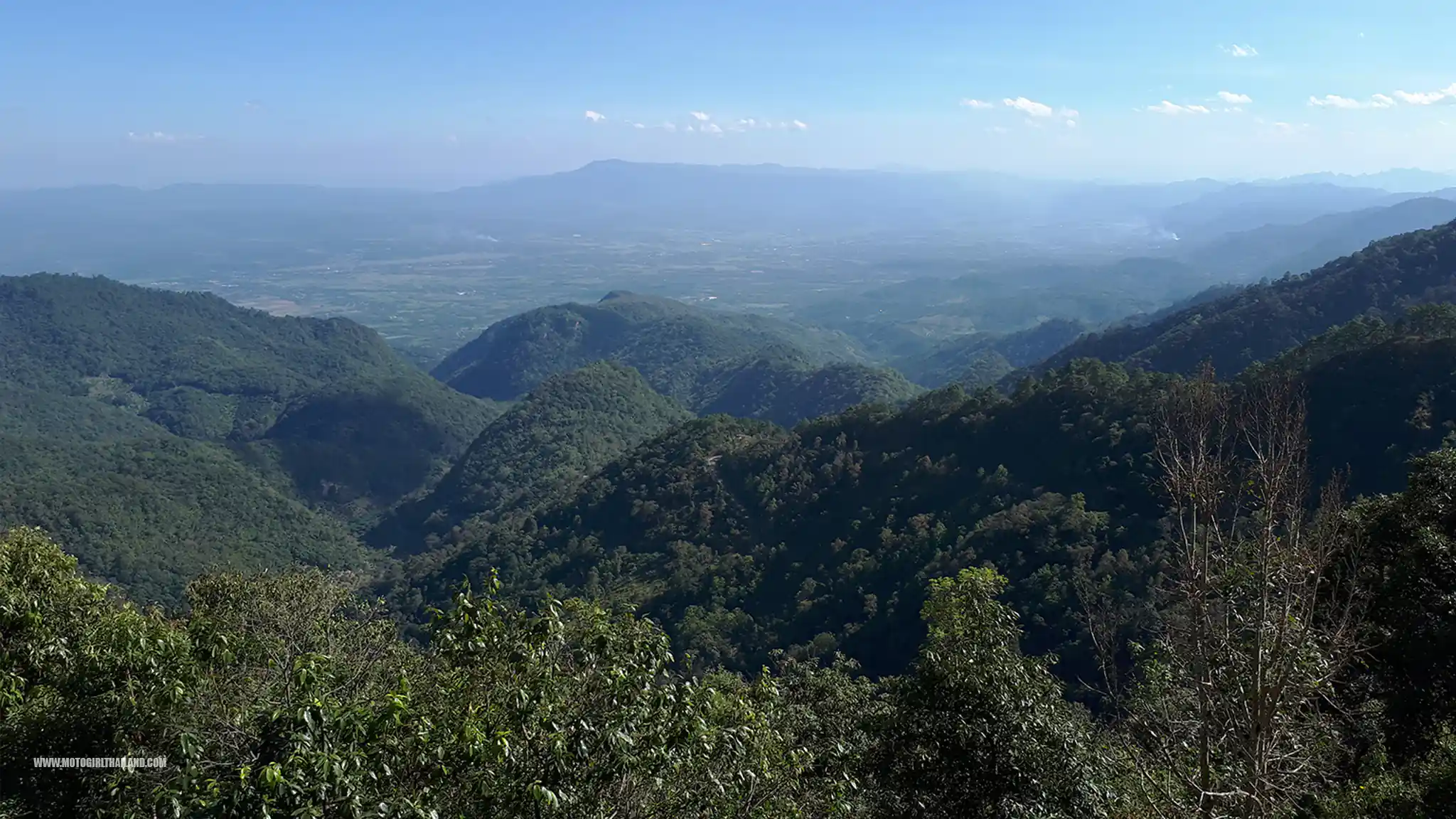
From the village, visitors can clearly see Myanmar territory, with only a fence separating the two countries.
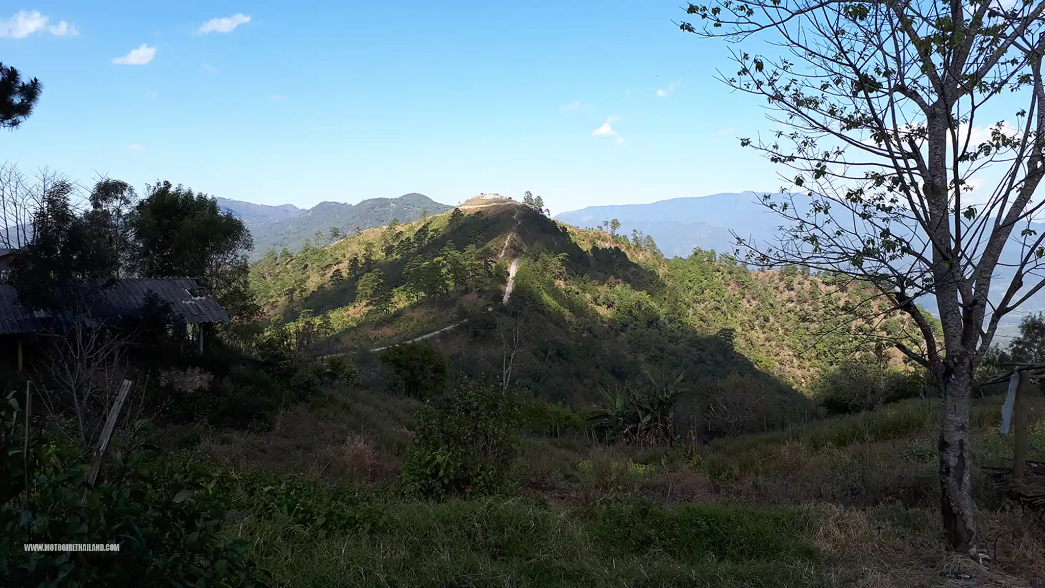
Ban Nor Lae Border Checkpoint
The Ban Nor Lae Border Checkpoint serves as a military outpost along the Thai-Myanmar border. Primarily, it functions as a security checkpoint managed by the Thai army, monitoring cross-border activities and ensuring the safety of the region.
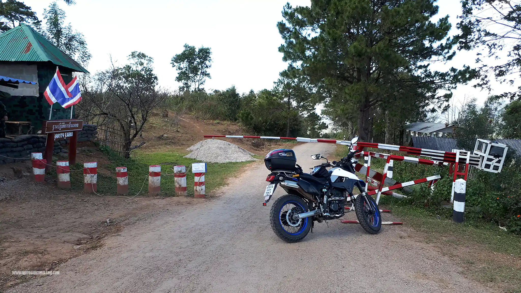
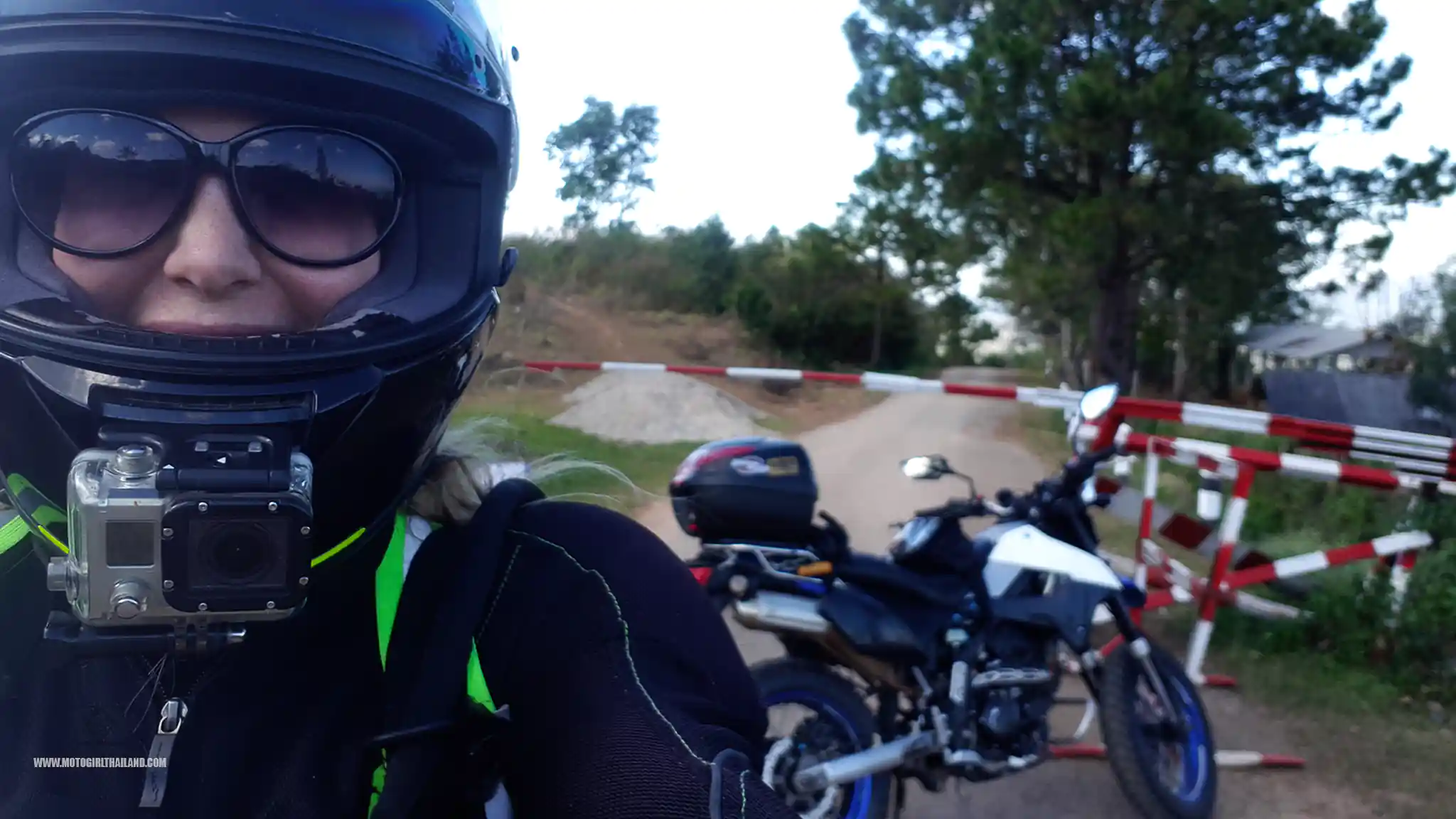
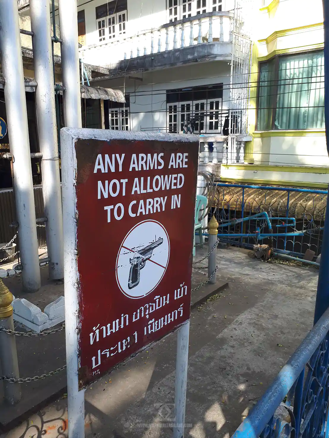
Visitors to this area can approach the checkpoint to observe the border landscape. However, crossing into Myanmar from this point is not permitted.
*Note* It’s advisable to respect all security protocols and guidelines when visiting the checkpoint area, as it remains an active military zone. Photography may be restricted at times and in certain zones, so always seek permission if unsure.
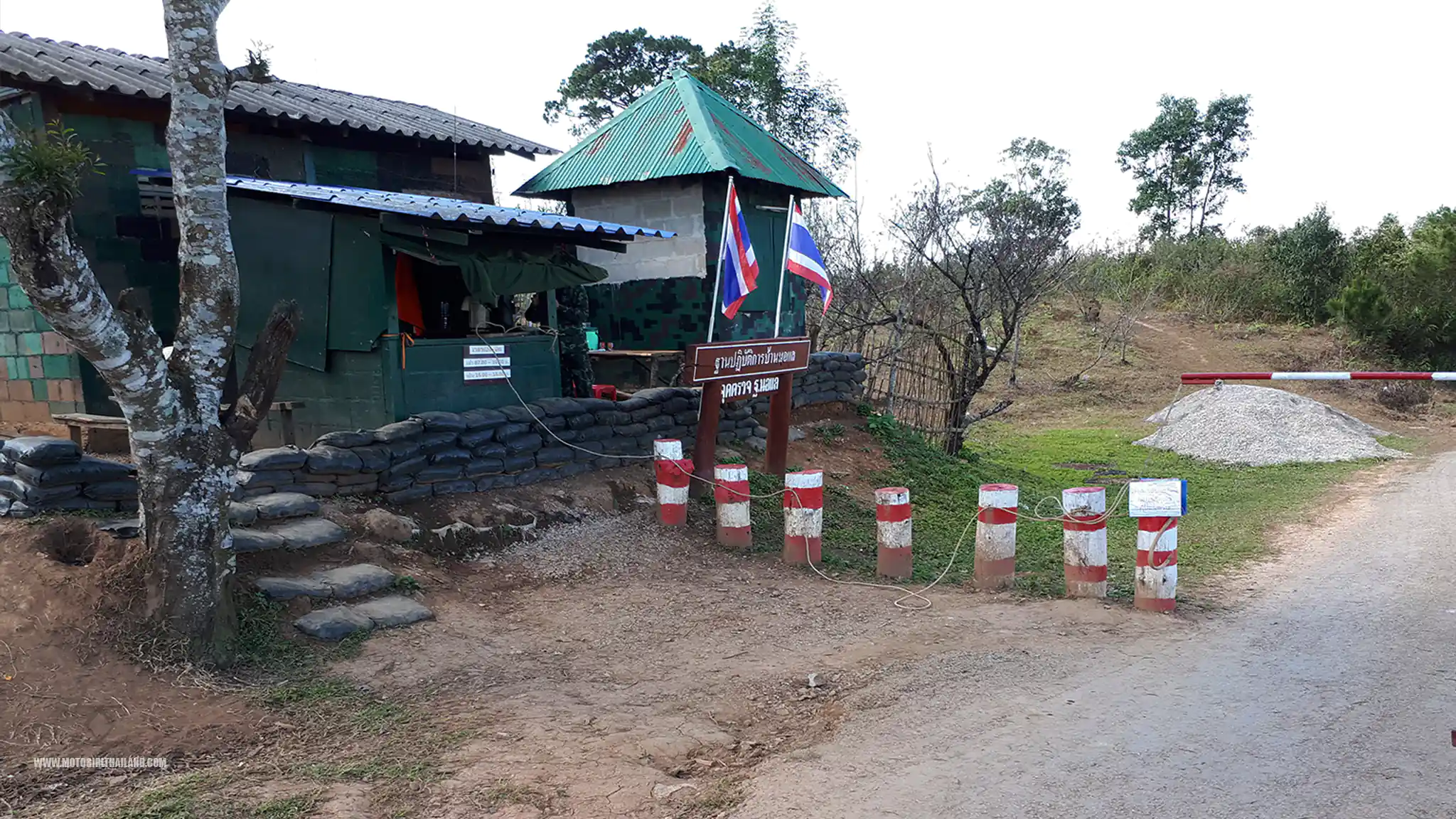
Just down from this border point is the nearby Ban Nor Lae village, which is home to the Palaung ethnic group, and features remnants related to historical conflicts, such as bunkers, offering insights into the area’s past.
Paluang Tribe Village
The Palaung ethnic group migrated from Myanmar primarily to escape political instability, conflict, and persecution in their native regions of Myanmar, particularly in Shan State.
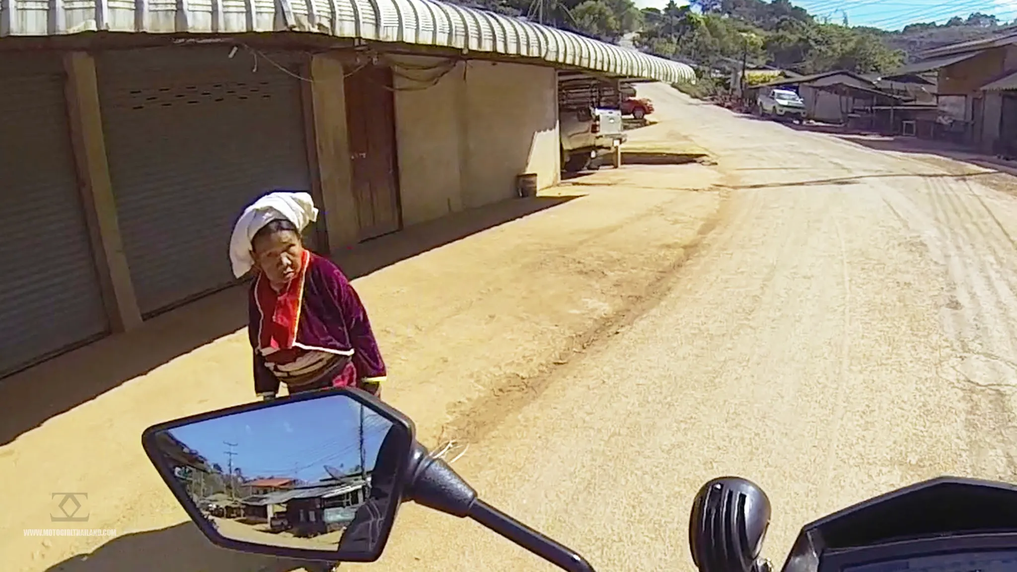
Decades of ethnic conflicts, military aggression, and economic hardships forced many Palaung to seek refuge across the border into Thailand. The Thai government permitted community settlements in certain zones, and the Palaung have established villages where they continue to practice their agricultural lifestyle and cultural traditions.
Ban Nor Lae became one of the settlements for Palaung migrants due to its proximity to Myanmar and its remote, mountainous terrain, which resembles their traditional homeland.
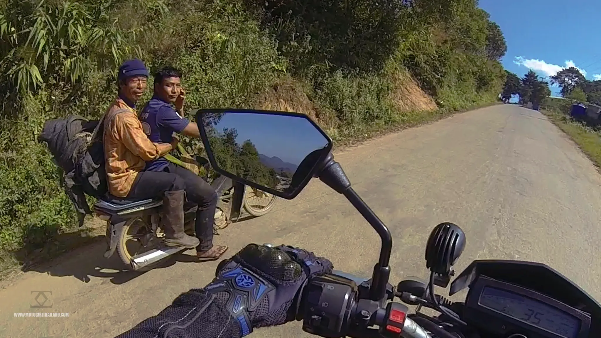
In recent years, the Palaung have been involved in regional conflicts in Myanmar. The Ta’ang National Liberation Army (TNLA), representing the Palaung, has been active in seeking greater autonomy. In December 2024, the TNLA expressed readiness for peace talks with Myanmar’s military government, indicating a move towards resolving ongoing conflicts.
In Ban Nor Lae, visitors can observe traditional Palaung culture and lifestyle, which includes their distinctive attire.
Kiew Lom Viewpoint and Campground
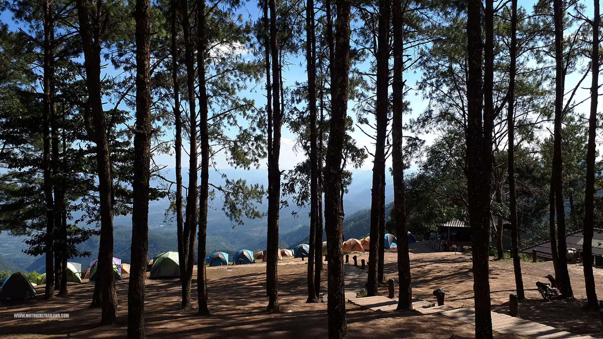
Given that I couldn’t continue through the checkpoint, I headed back down the mountain stopping at Kiew Lom Viewpoint and Campground, to ask at the information desk about Huamereng
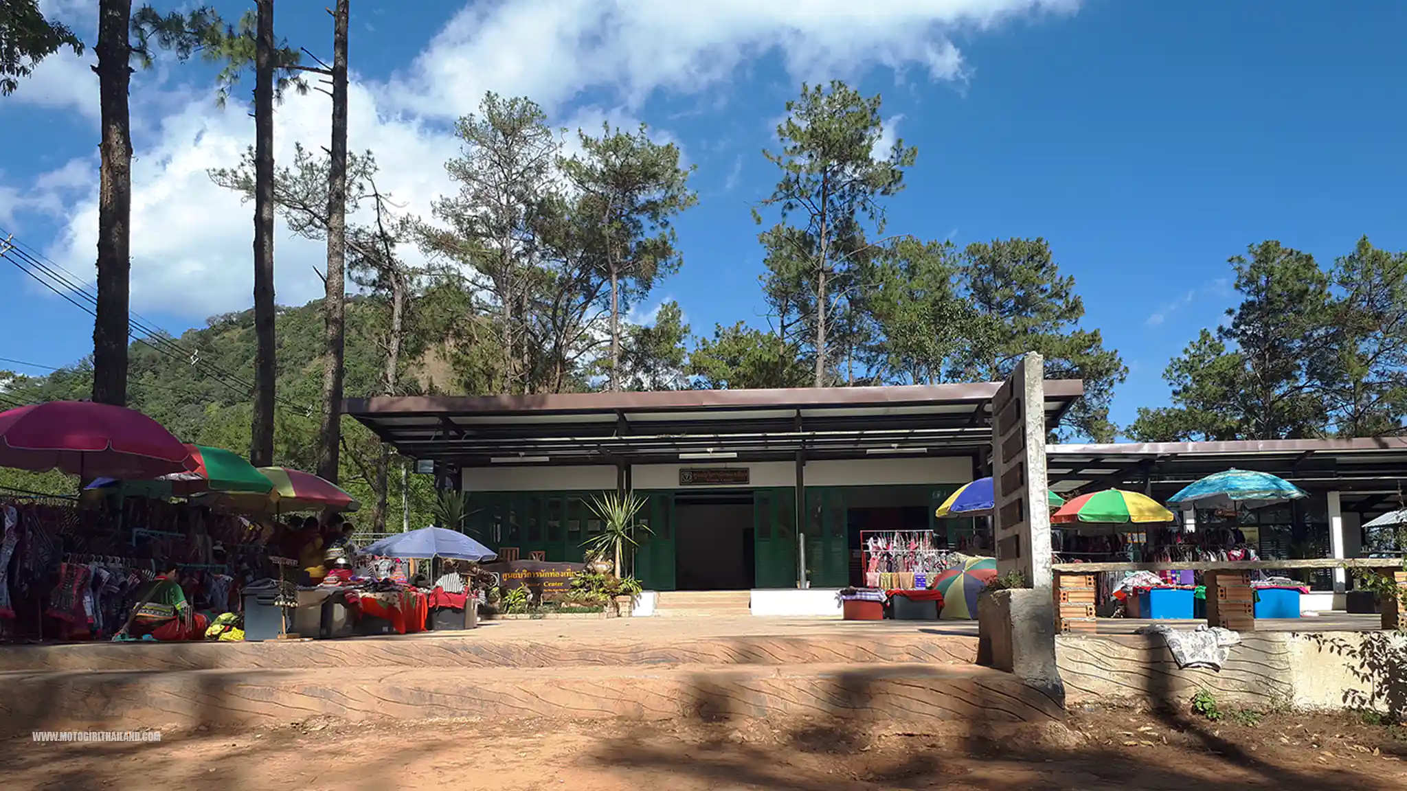
The Tourist Information desk had some possibly disappointing news about Huamereng.
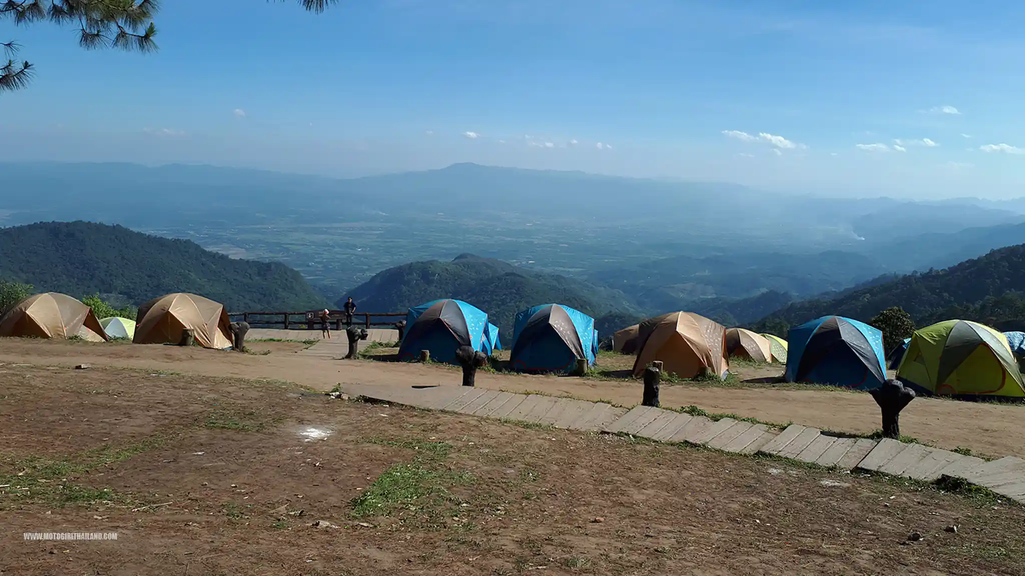
A new law had been passed that “big bikes” aren’t allowed to enter the National Park area, although the officer was not exactly sure if it applied to the area I was visiting.
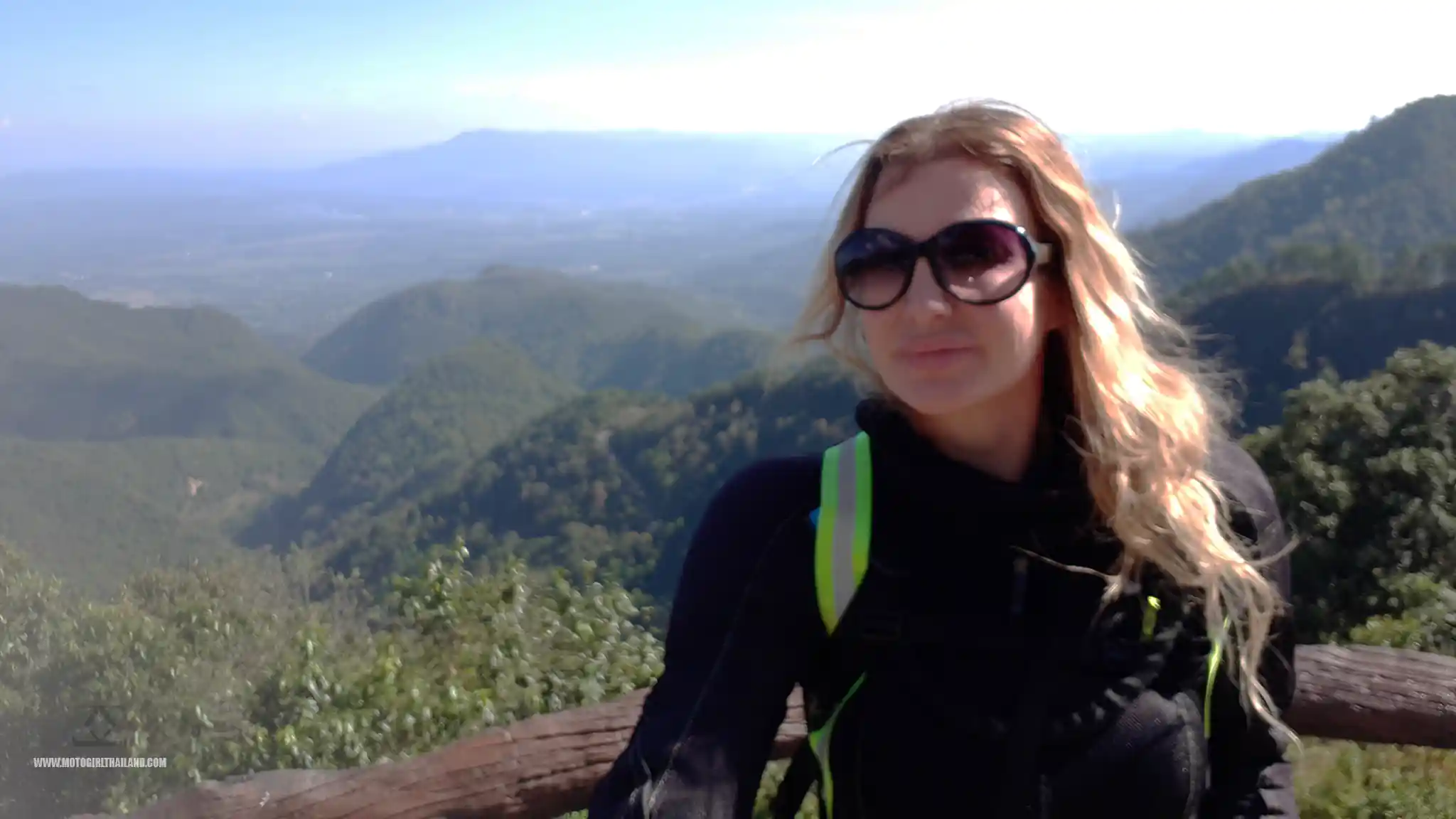
Feeling a little deflated (but not deterred), I headed back down the mountain and set off towards Fang. It was around 4 pm by this point, and as it normally gets dark around 6 pm, I needed to consider my plans for the night.
I decided to see if I could stay overnight in Fang Hot Springs.
Fang Hot Spring
Fang Hot Spring is a part of Doi Pha Hom Pok National Park. The National Park covers over 524 square kilometres and is known for its stunning mountainous landscapes, cool climate, and rich biodiversity.
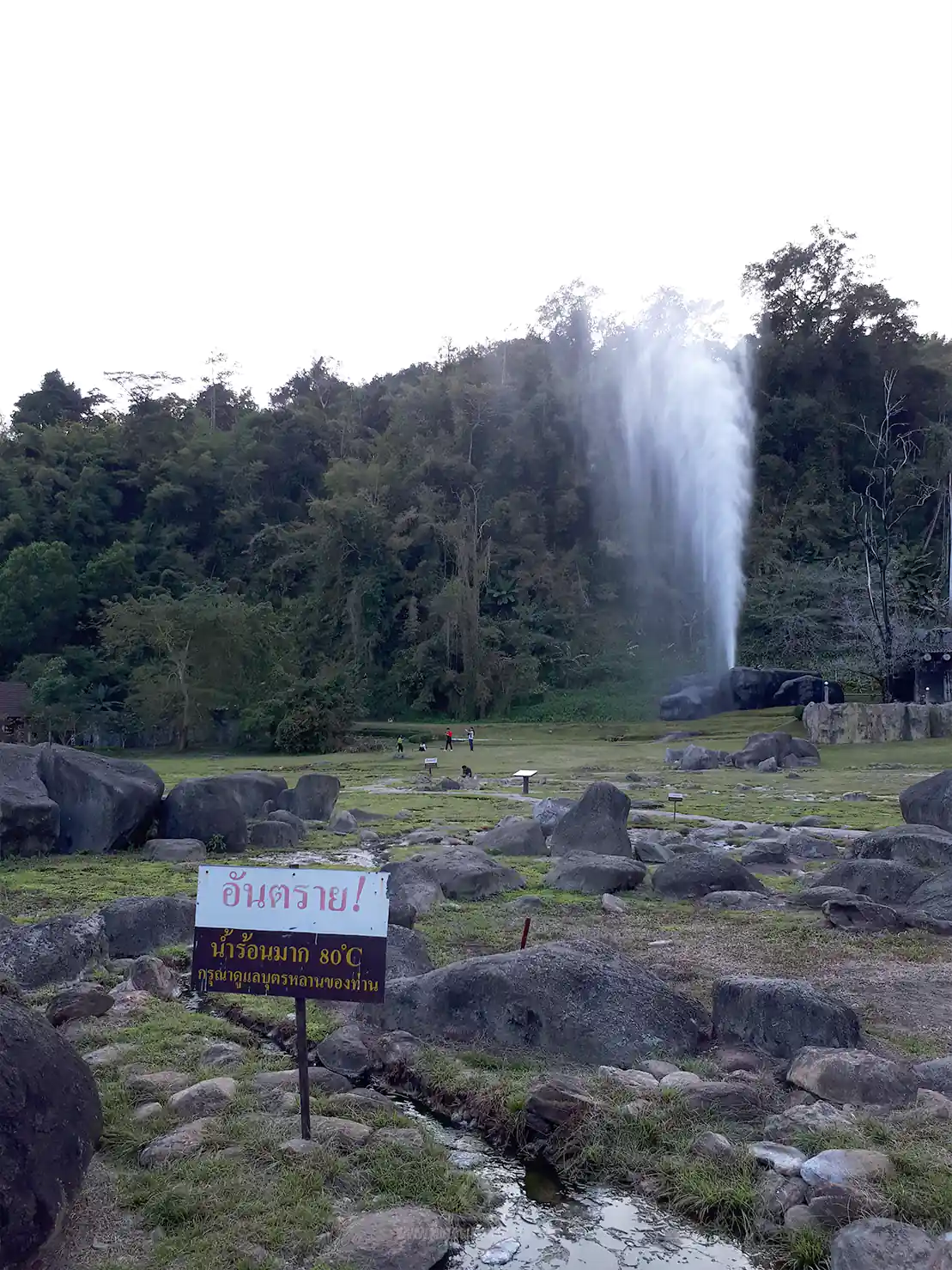
Key features of the park include: Doi Hom Pok Peak (aka, “Huamereng”, which is the second-highest mountain in Thailand, standing at 2,285 meters above sea level), the diverse wildlife (including gibbons, hornbills and a multitude of other species, making it popular with Birdwatchers), trekking, waterfalls and caves.
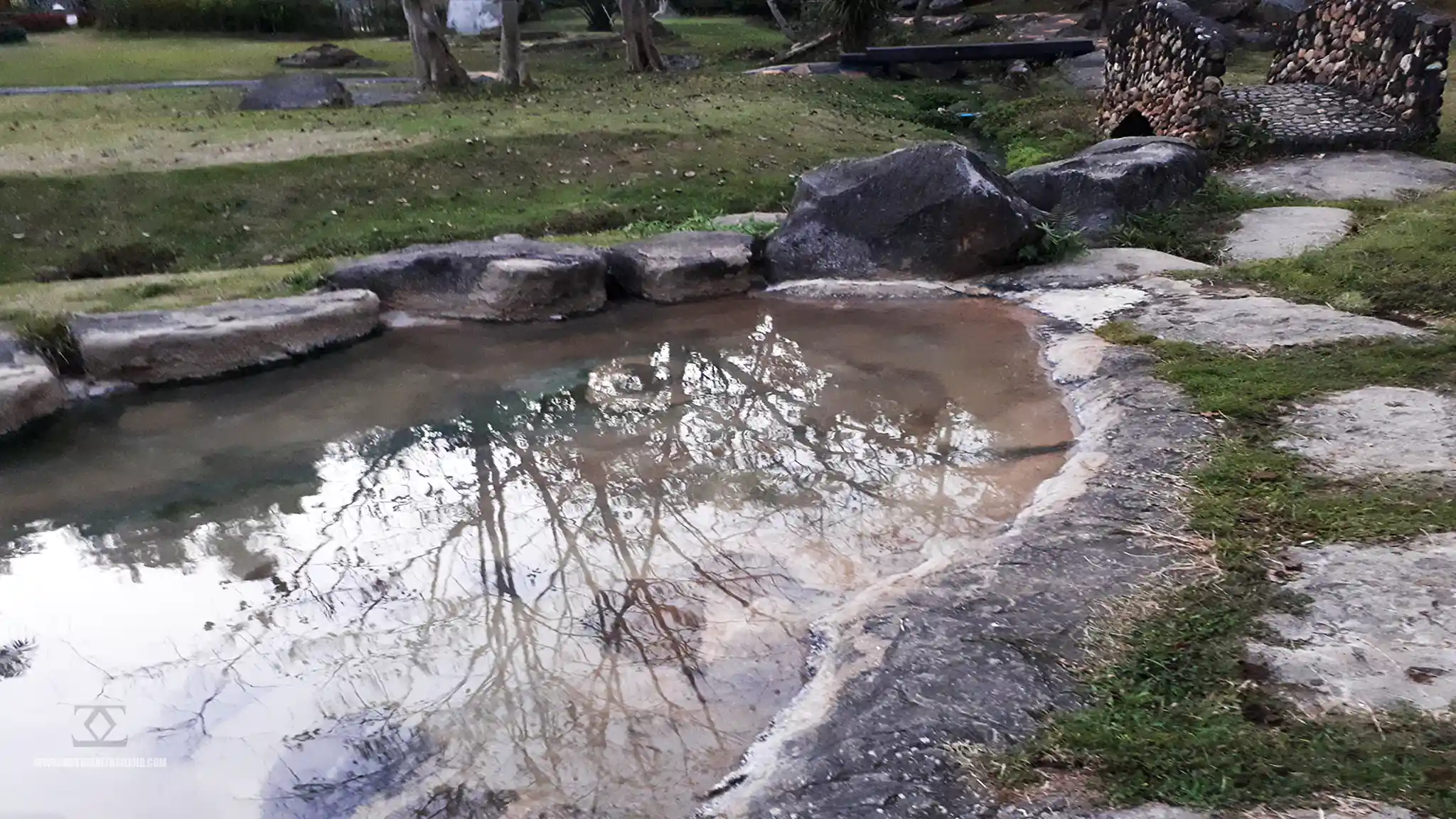
When I arrived at the entrance to the hot springs, I noticed that a dual pricing rate for foreigners was in place, (300 baht for adult foreign nationals), but when I spoke in Thai, the guard charged me the foreign child rate (150 baht).
I headed straight to the information section first and inquired about accommodation. Pricing was as follows:
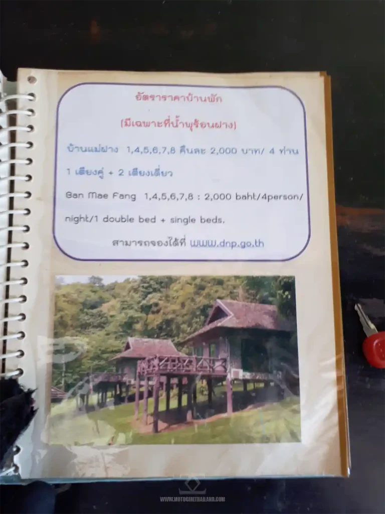
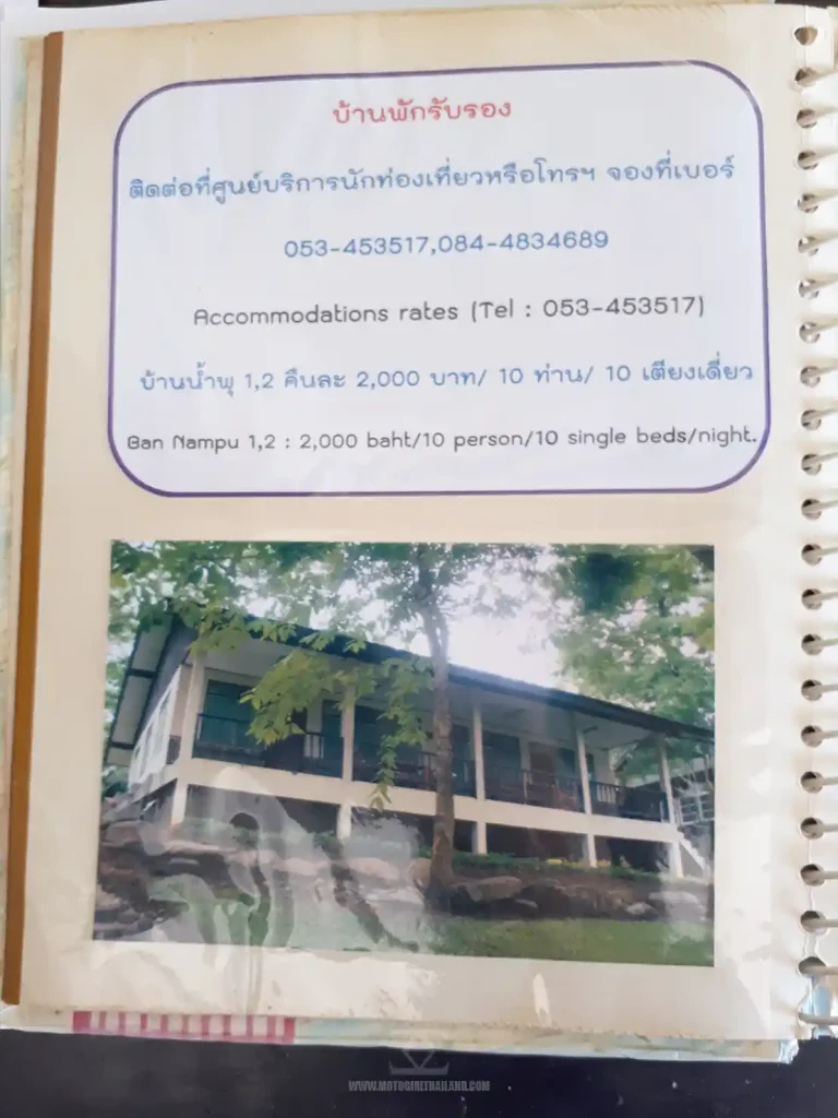
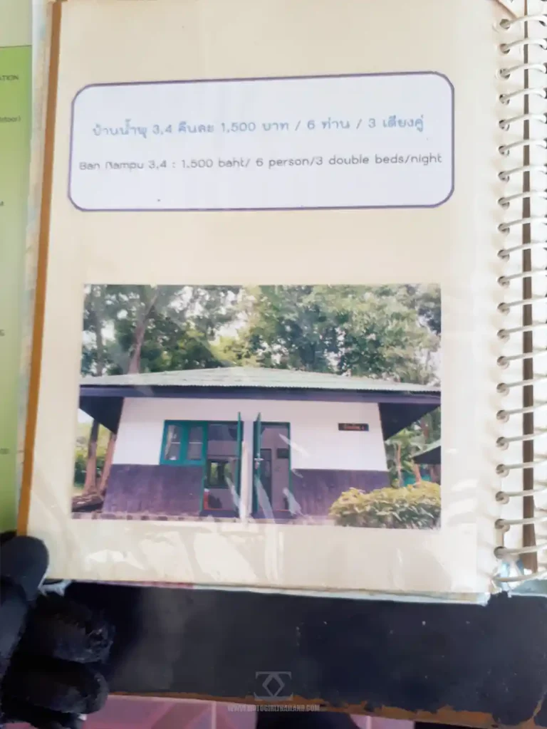
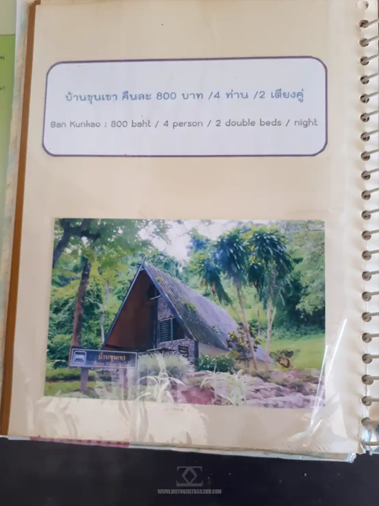
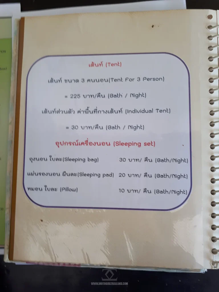
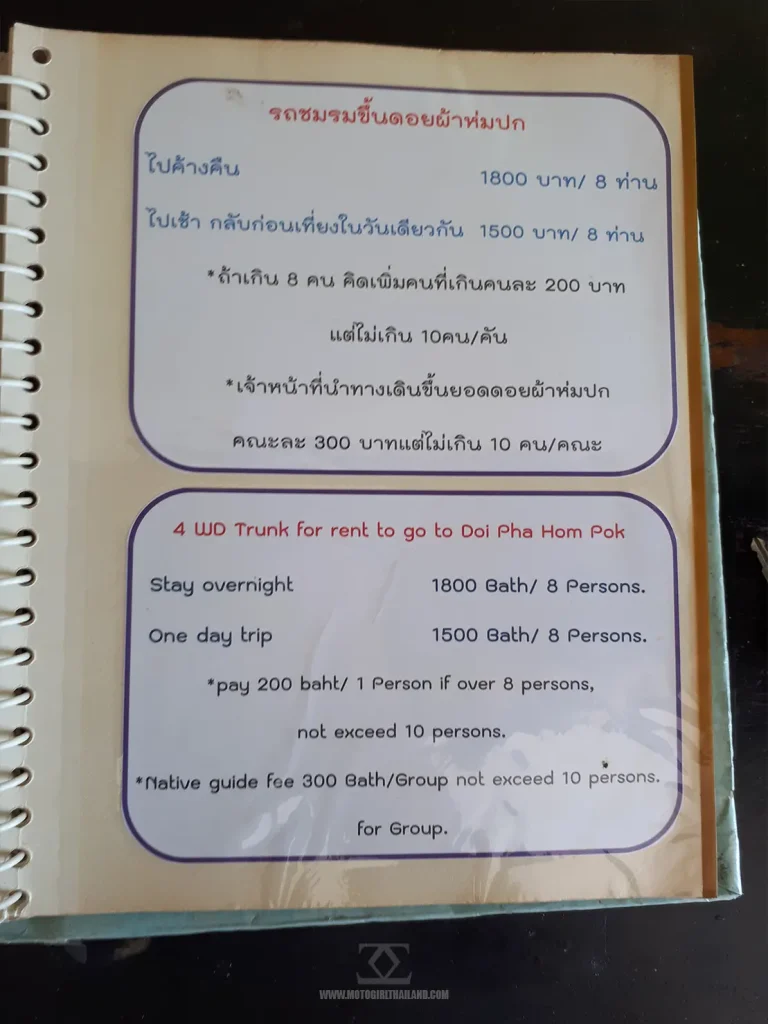
I chose a stand-alone bungalow for 1500 baht and was handed a map with its location.
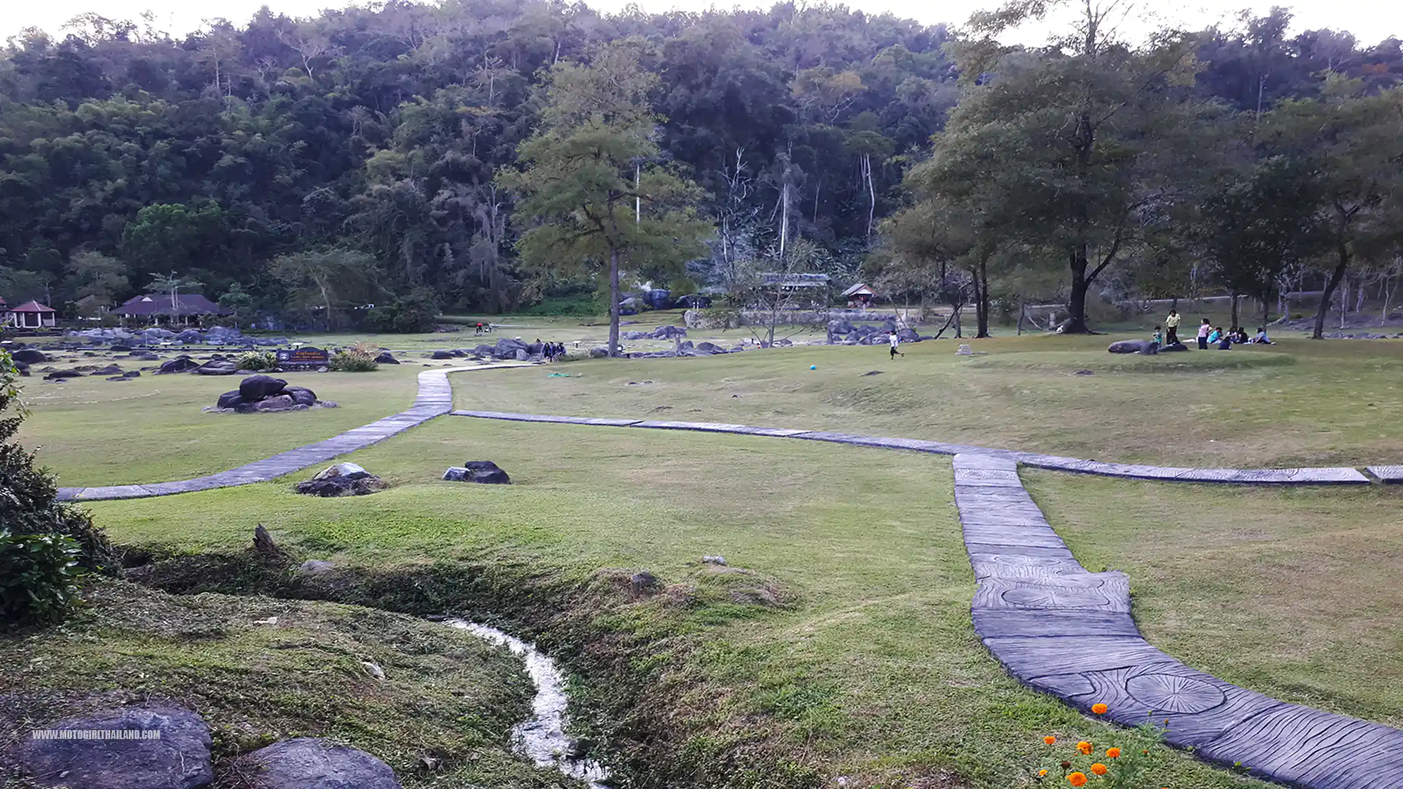
An Odd Moment…
I also encountered a bizarre moment when looking for this bungalow… Initially, I ended up in another accommodation section by mistake and paused to get my bearings. Suddenly, I became aware of shouting and noticed two army/national park officials having an intense and heated argument.
It was quite a surprise, but I guess we all have bad days.
When I headed back on myself I had a quick ride around the park first and when I returned back the way I came, I found them still arguing, but it seemed to be getting physical. The lady officer had lashed out at the male officer, but he wasn’t retaliating.
I slowly drove on by.
Eventually, I found my bungalow, which I was pleased with. It looked picturesque.
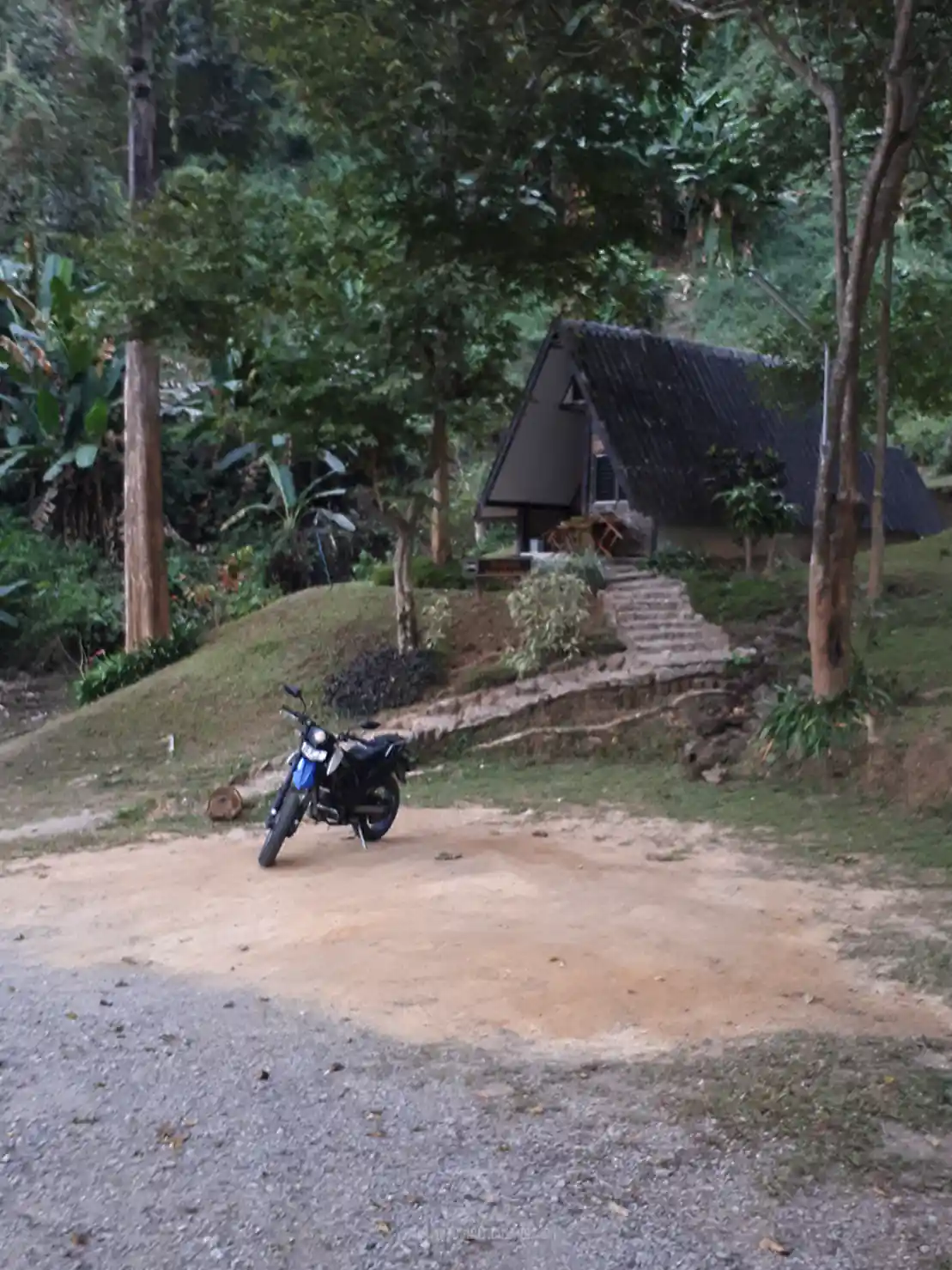
Once inside, I cleaned up and then walked to the restaurant situated within the park.

I ordered a fresh barbecued fish and some sticky rice, then headed back to my quaint bungalow (with some fresh eggs for boiling in the morning), to enjoy a peaceful rest.
The Hot Springs
I waited until the park was officially closed to daytime visitors, (which was thankfully before sunset), as this would give an opportunity to enjoy the springs in relative solitude.
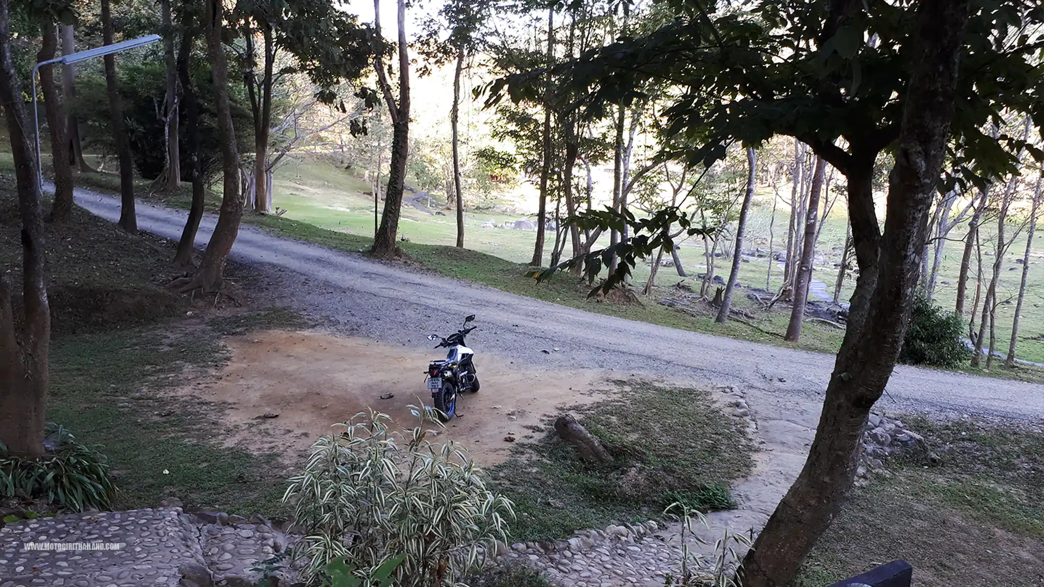
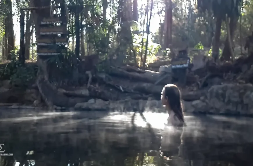
I took a walk around the park as the sun was going down and soaked in the hot springs for a while.
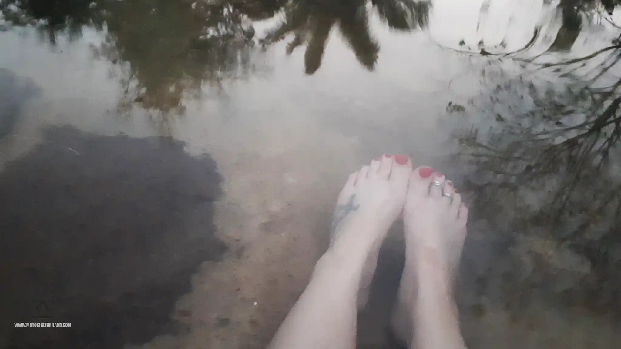
It was lovely and peaceful to soak in the atmosphere and warm springs until the sun came down.
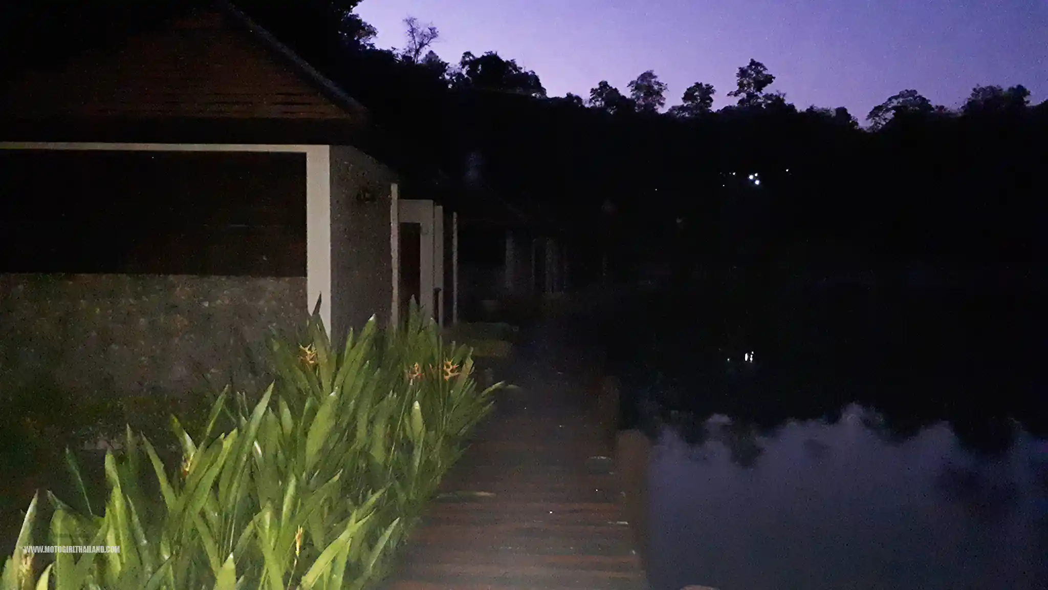
I didn’t exactly time my return to the bungalow well, because the area became close to pitch black, making it hard to navigate.
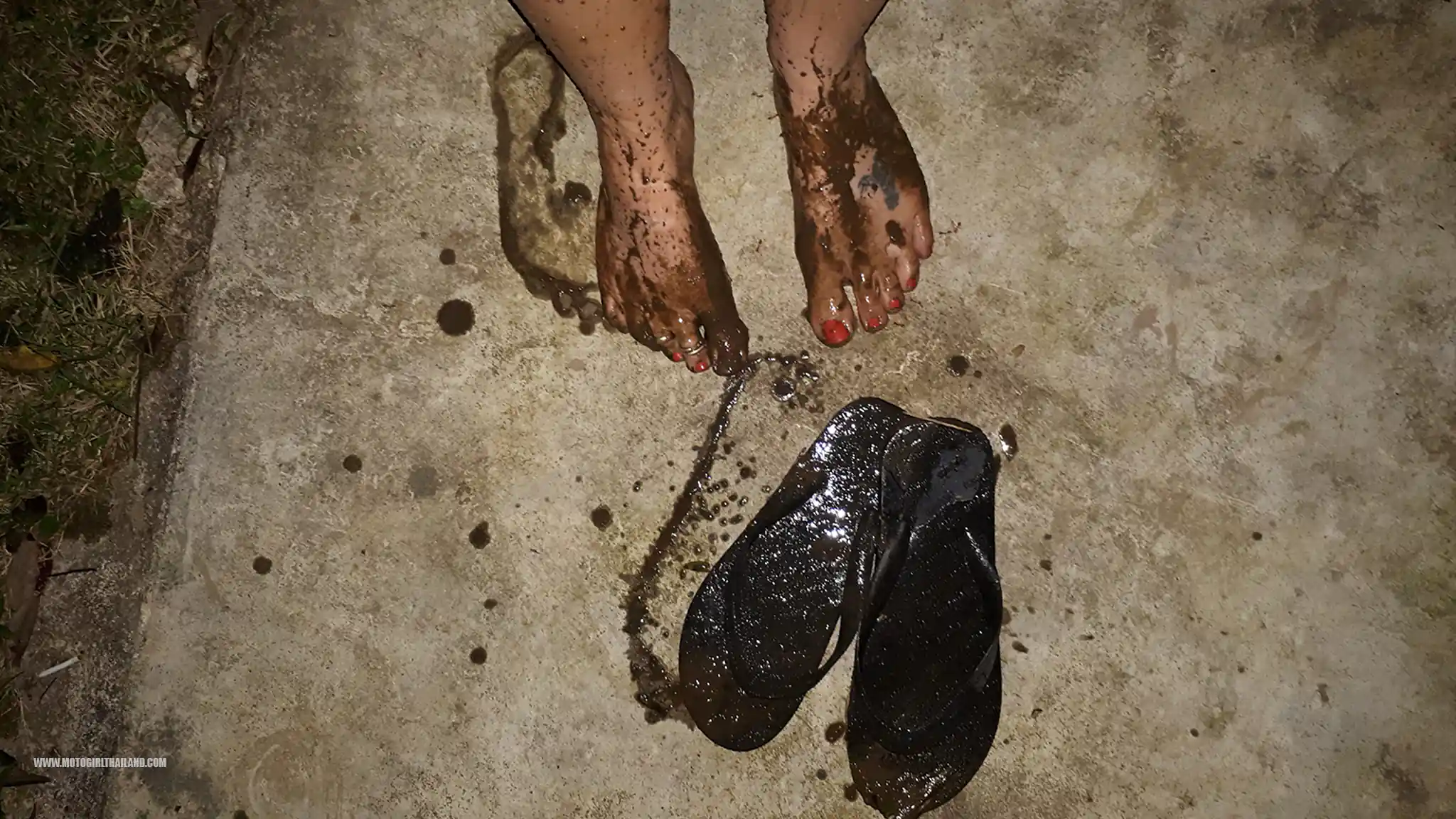
As I approached my bungalow, I was struck by how pretty the scene was, which I badly captured on my phone camera.
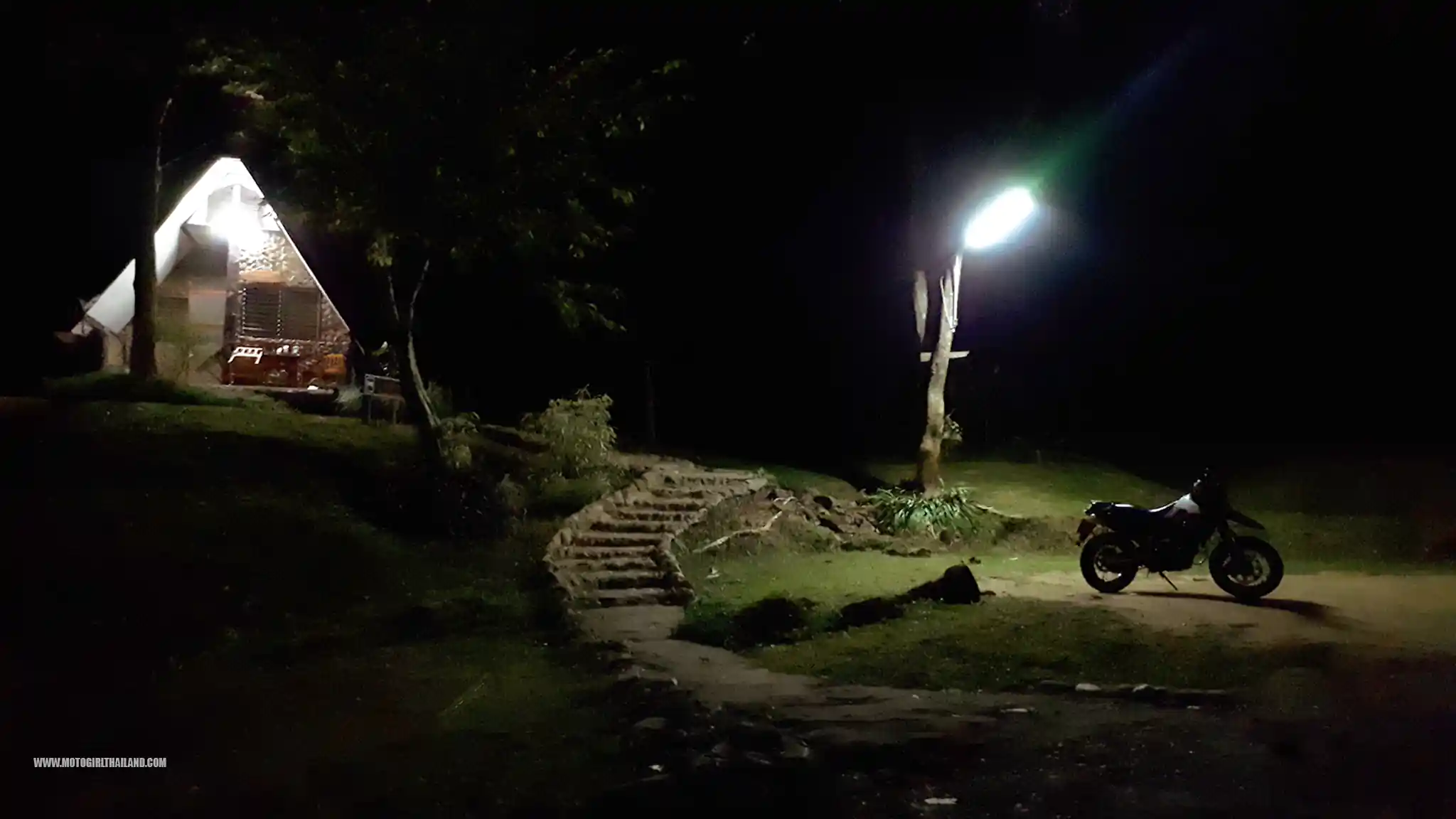
I took a shower and headed to bed early to the sounds of near silence. Just soft nature sounds and clacking of lizards. I often find it hard to sleep in new places, but I went to sleep quickly and deeply, despite being excited about the next day’s ride to Huamereng.
– End of day 1
Day 2. Fang to Doi Tung Via “Huamereng”
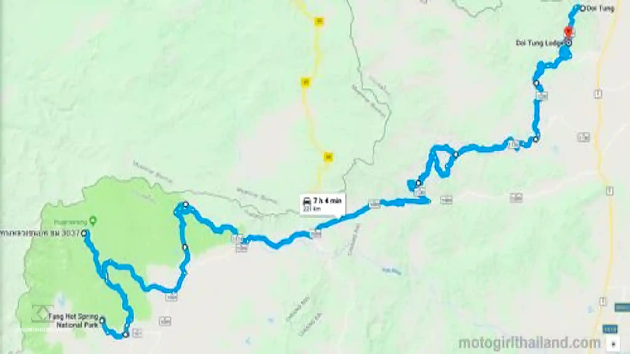
After a leisurely morning and enjoying the hot springs until around 11 am, I packed up and checked out. I savoured every moment of the peaceful accommodation and hot springs.
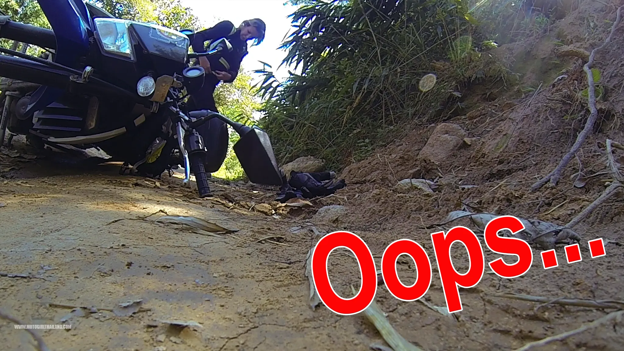
1st Fall of The Day
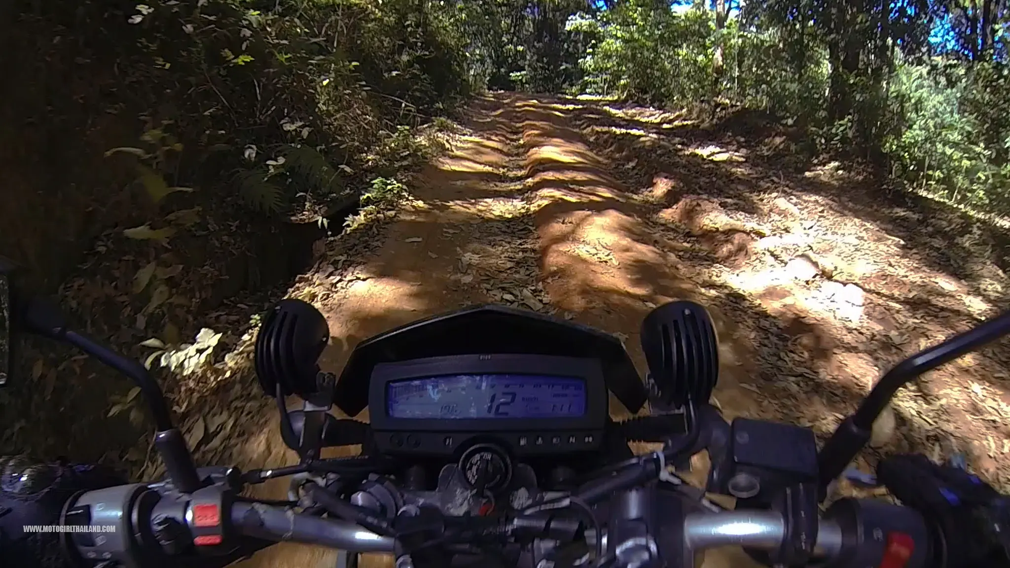
By midday, I was on the road towards Huamereng and Kiew Lom Campsite (the highest campsite in Thailand). I took a dirt road that veered off from the hot springs instead of straight along the R107.
However, within a short time, I had a bit of a knock to my confidence. I spotted a truck coming down towards me and had a panic moment, which resulted in a fall. A case of target fixation and choosing the wrong rut.
The driver of the truck was lovely and exited out of his truck to assist me in getting my bike upright. I was grateful, but also rather embarrassed.
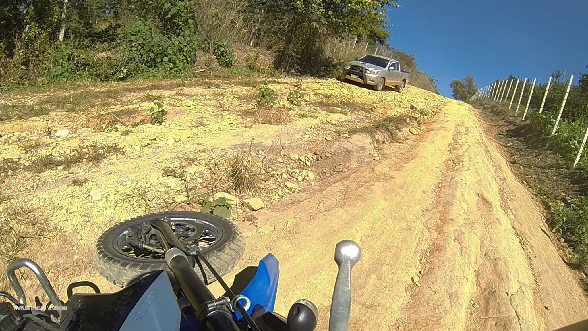
Plus, I now wondered if I was capable of doing the rest of this dirt route to Huamereng on my own, or not. I decided nothing ventured nothing gained. I tackled my demons, picked myself up, dusted myself off, and headed back on the trail.
The dirt trail eventually led to a village, where I was sent on a wild goose chase. (I did not have phone reception and thus, no GPS).
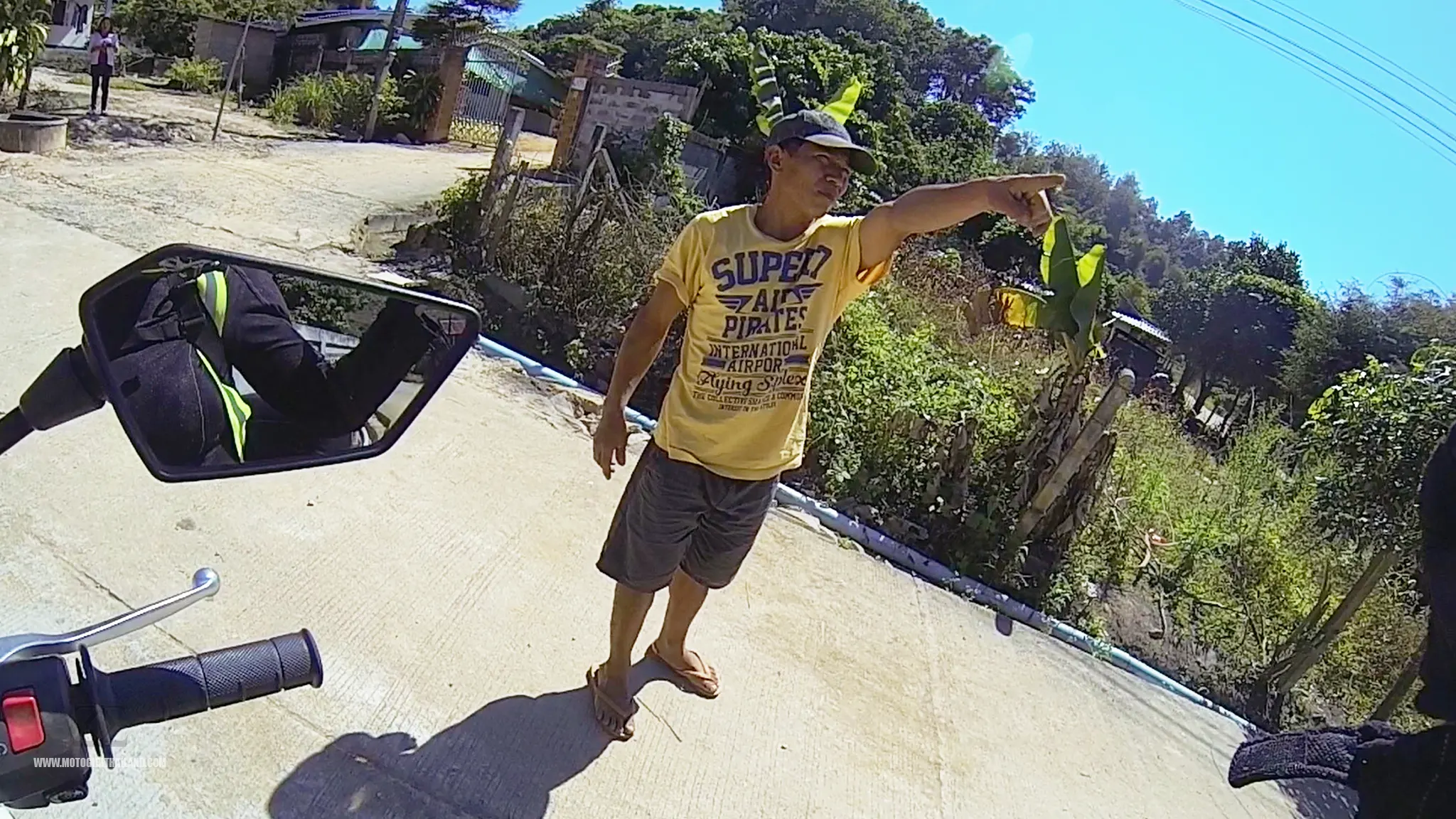
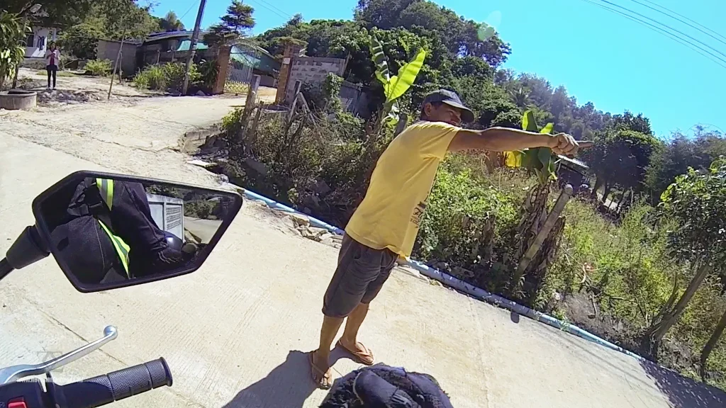
In the end, I finally found the route to Huamereng.
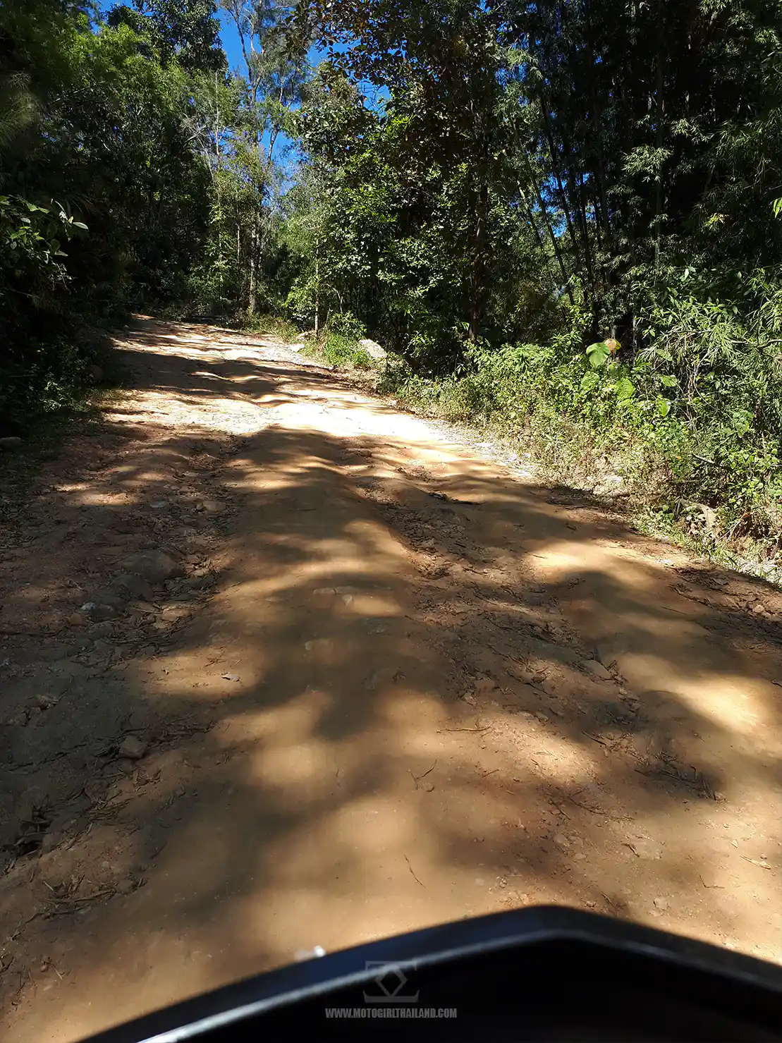
2nd Fall of the Day
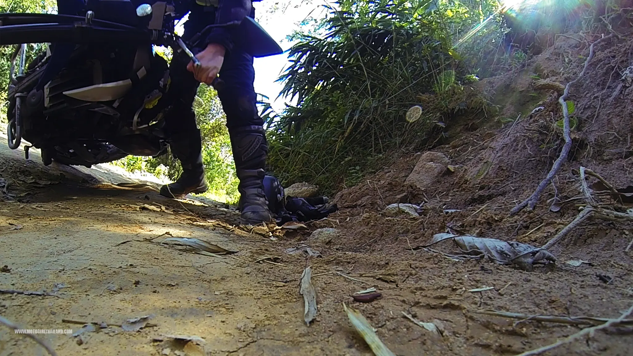
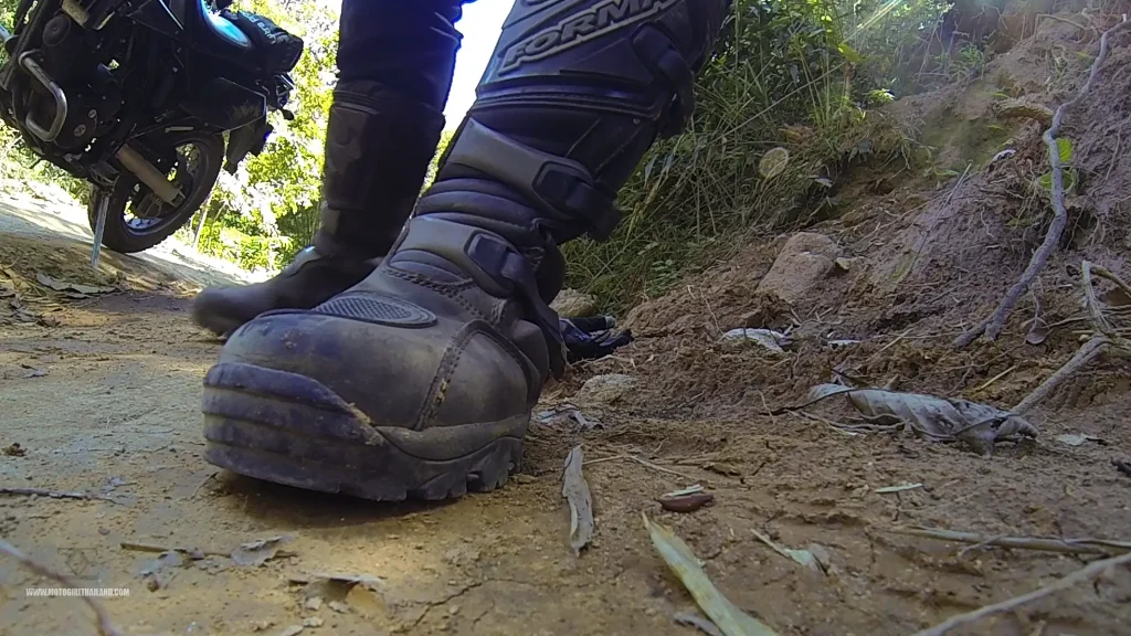
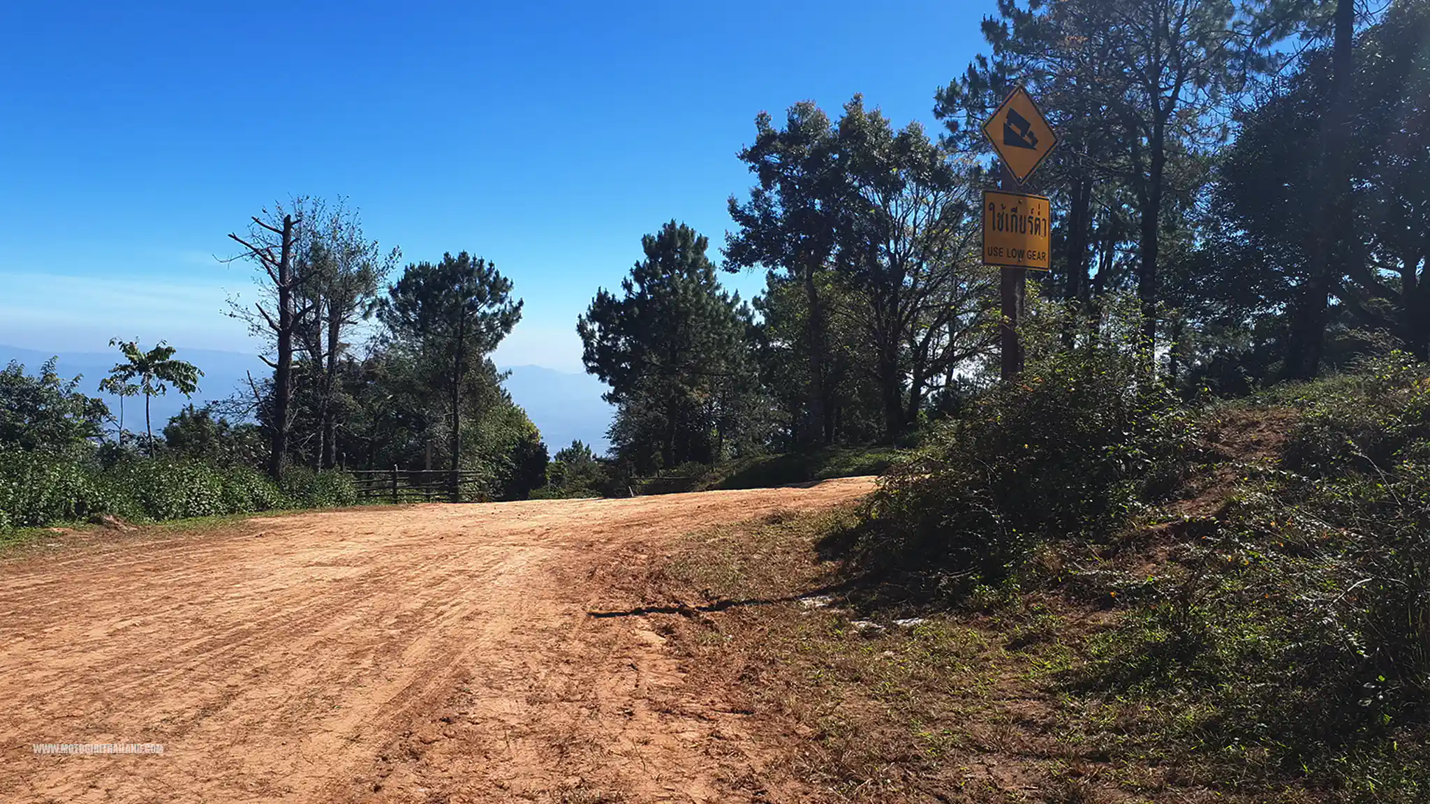
Initially, the road was paved, but after a few km up, it turned to dirt. My nerves were getting the better of me and a combination of things led to this:
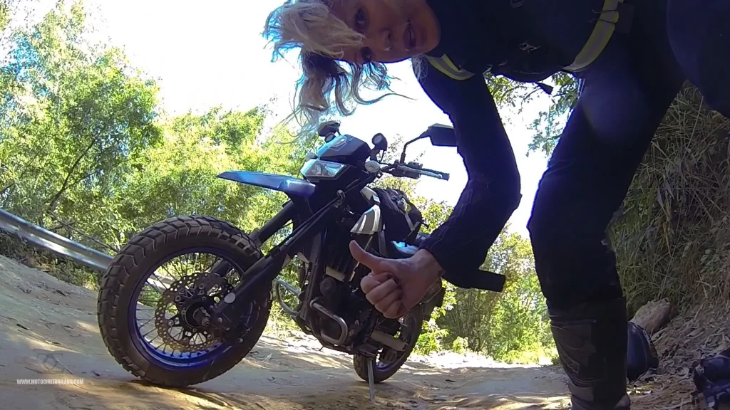
One great thing about this fall was that I realised I could get myself back up. In fact, getting myself up and back on the road gave me more confidence, helping me to enjoy the rest of the route.
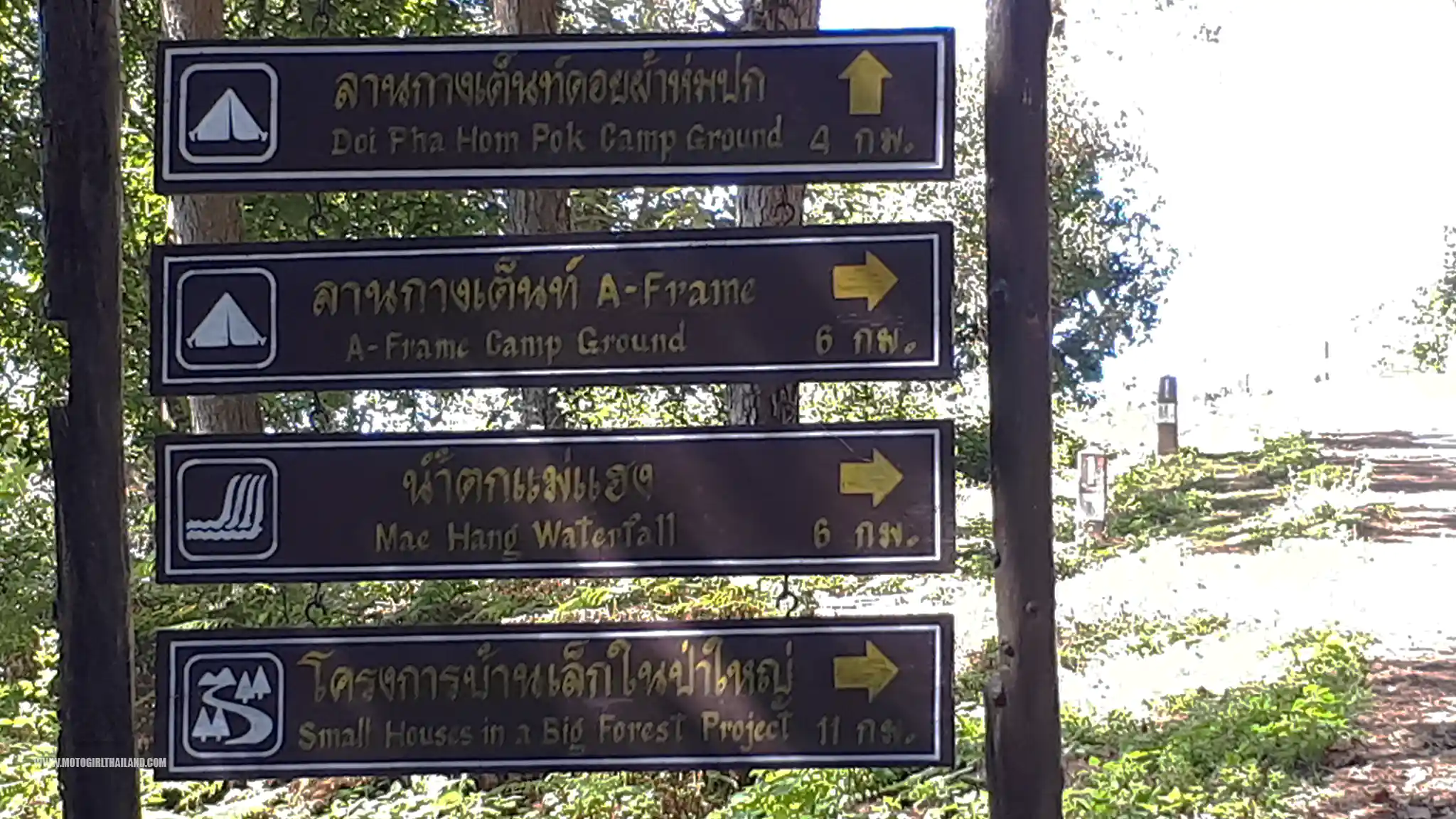
The Highest Campground in Thailand
After approximately 15 km, I reached Kiew Lom (the highest campground in Thailand). By now it was around 1:30 pm.
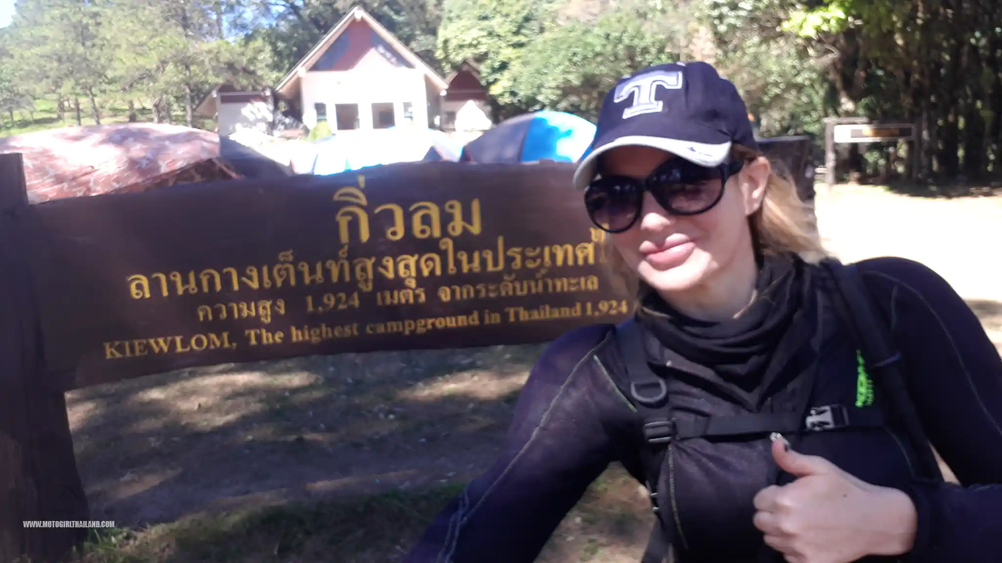
At the campground office, I inquired about the viewpoint at Huamereng and was told it would be a 2-hour trek. Ouch! I wasn’t expecting that.
I decided to give it a shot anyway and headed into the forest.
30-40 minutes into the trail, I realised I was in potential trouble. The route/path completely disappeared. It was overgrown and I couldn’t see where to go. I pushed forward for a while in the hope of finding an obvious sign of a trail to the Huamereng viewpoint but realised that I would soon end up lost if I continued.
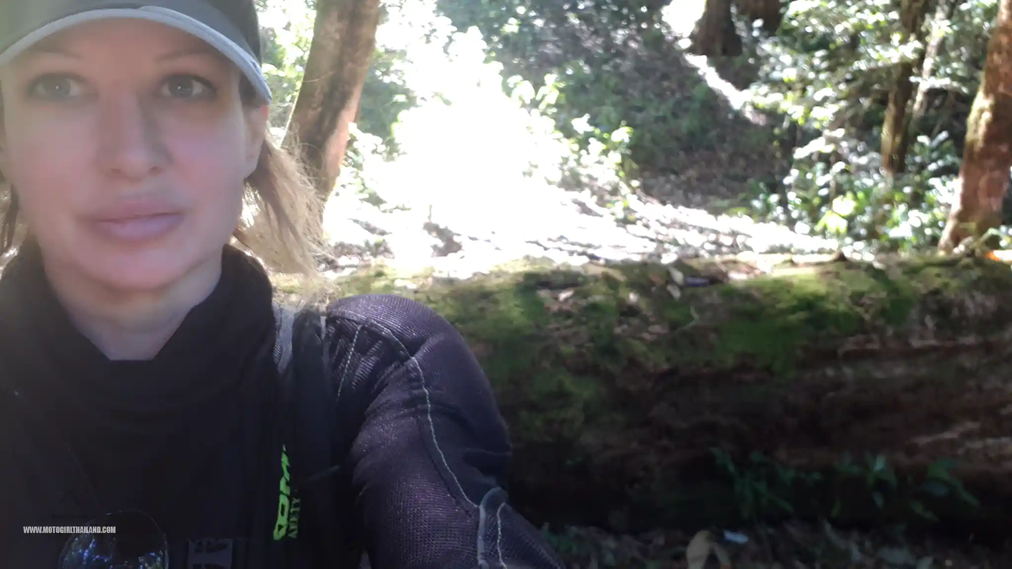
Given the time constraints and the lack of a pathway, I made the decision to return to the campground. It was a touch frustrating but made the most sense.
On my return, I met a birdwatcher/photographer and asked him if he also had difficulty on the trail. Seems he had given up, too.
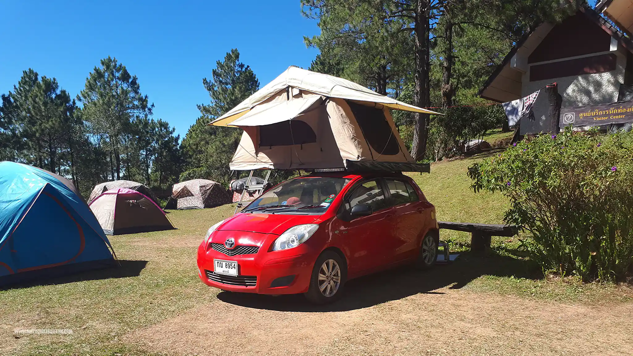
Back at the campground, I met some friendly tourists who told me they had arranged for a guide in the morning, who would take them to the Huamereng viewpoint. They kindly invited me to join them if I decided to stay overnight at the camp.
As I did not have appropriate walking shoes or a few other essentials, I decided to head back down the mountain and ride as far north as daylight would take me.
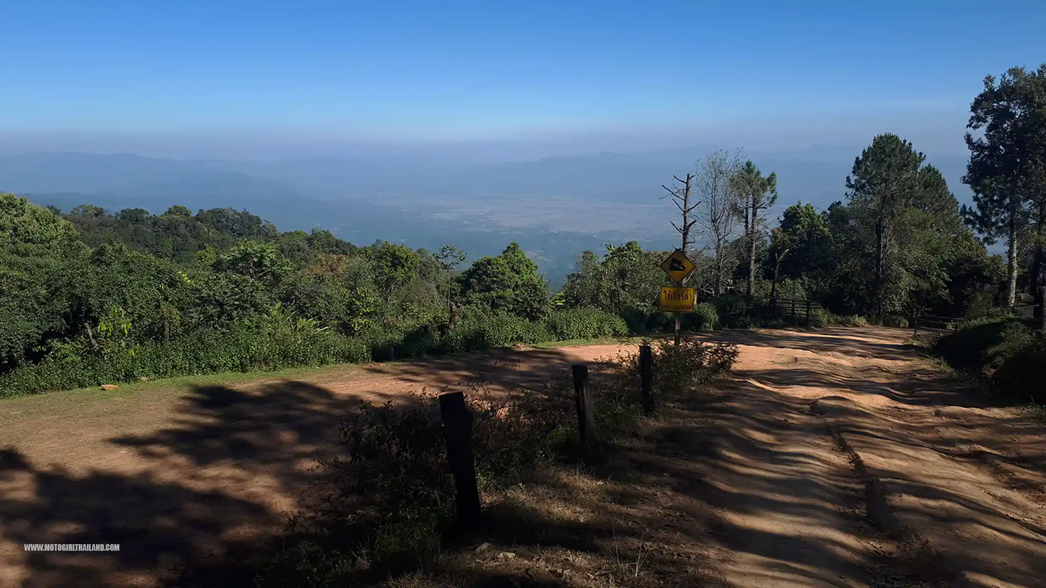
The ride back down was easier for me than I had anticipated and there were no dramas aside from a few vehicles coming up, making things a little sketchy on the narrower sections of the route.
Once I was back down the mountain, I headed north on the R107 towards Doi Tung mountains.
Doi Tung
In Doi Tung, it was now a race against time to find accommodation before sunset. These mountain areas get totally pitch black (as I once found out many years back when on a scooter ride in the region), and the twisty mountain routes can be precarious.
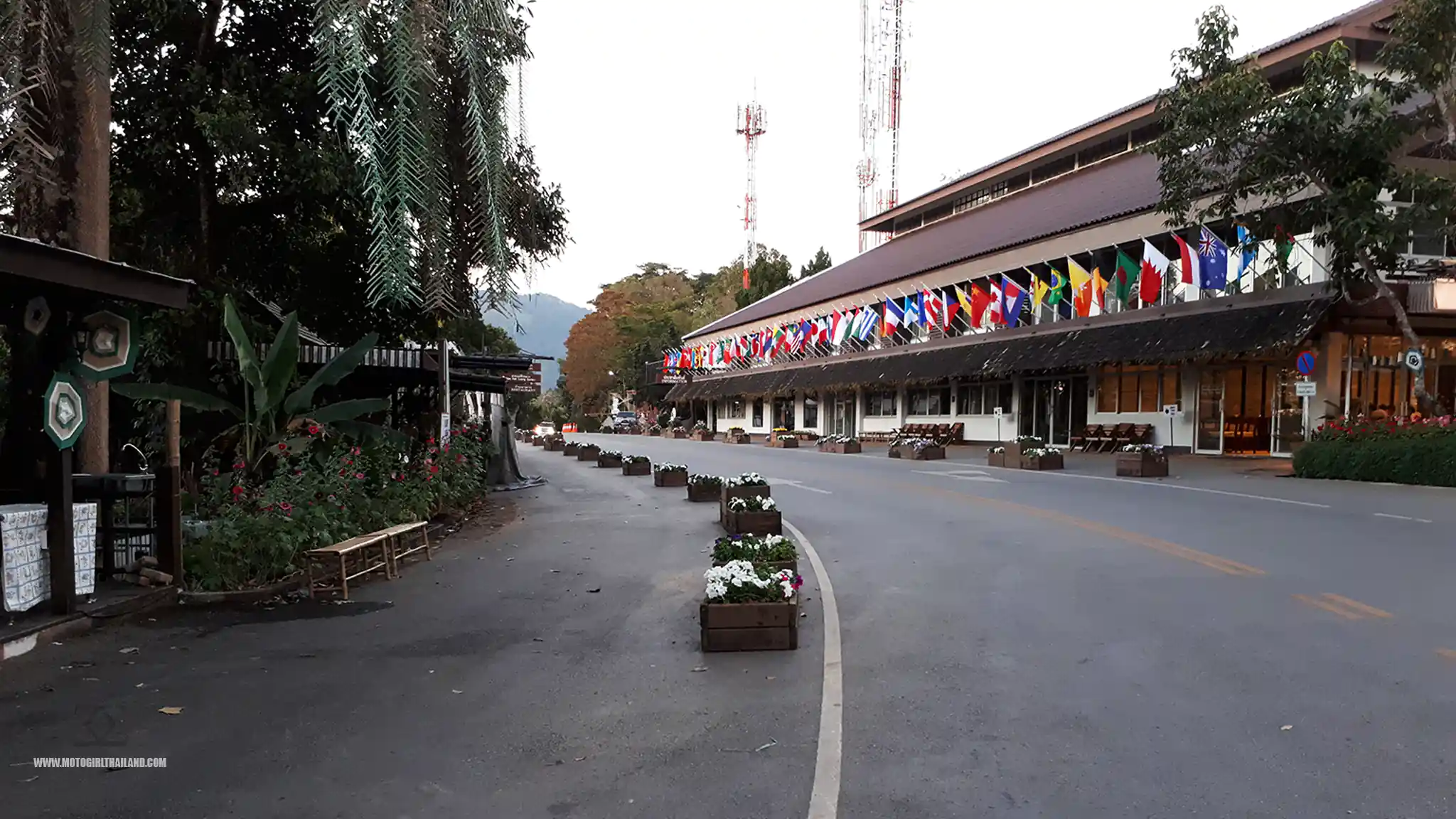
Initially, I went to Doi Tung Lodge but was not impressed by the rooms (nor the prices – 3000 Baht for a rather drab room). So, I headed out a bit further to a resort I once found many years back whilst escaping a dramatic thunderstorm.
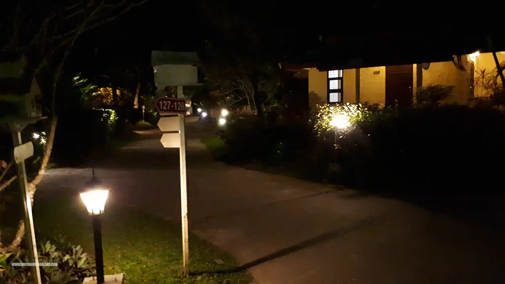
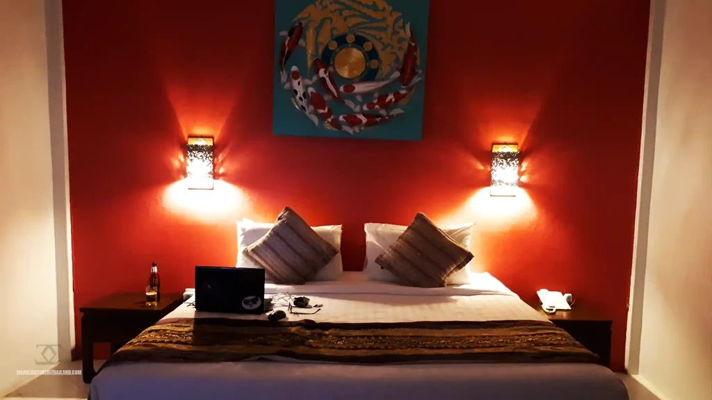
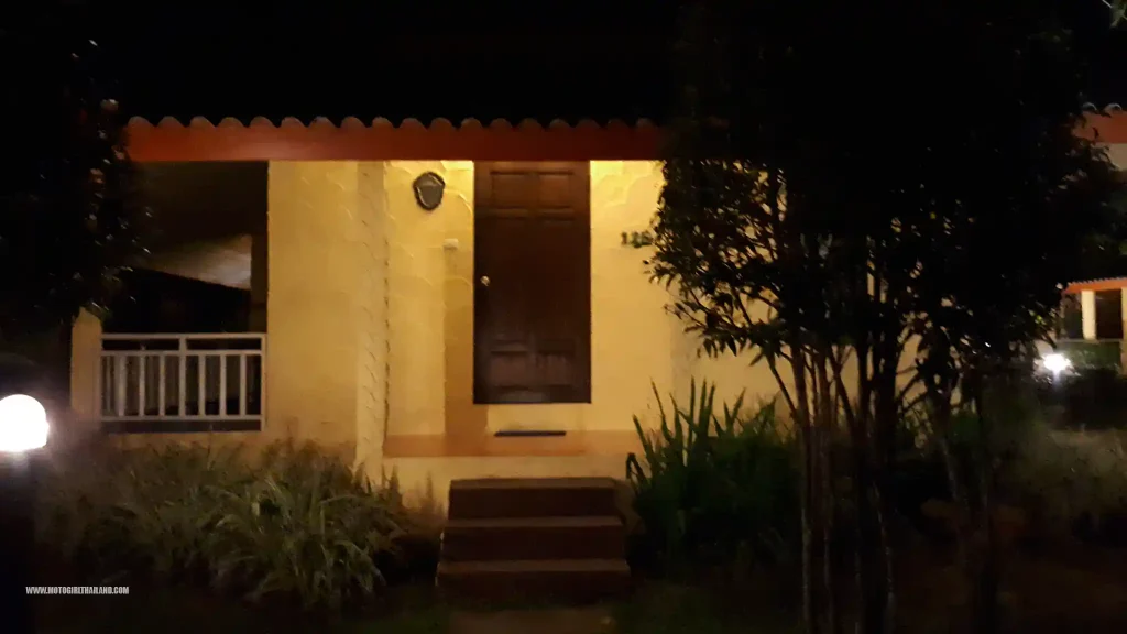
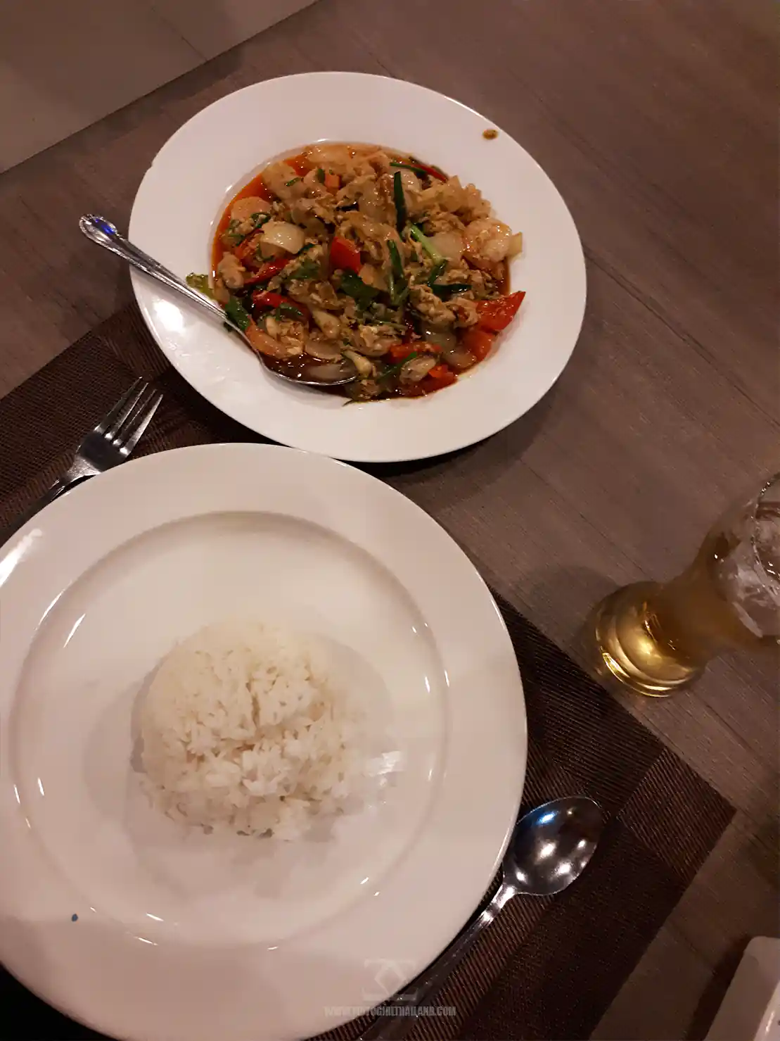
It was the perfect place to stop, even though I had to ride a little in the dark to get there. I enjoyed a nice meal in the resort restaurant, and then returned to my room for a good night’s rest.
– End of day 2
Day 3. Doi Tung to Chiang Mai (Via Myanmar Border)
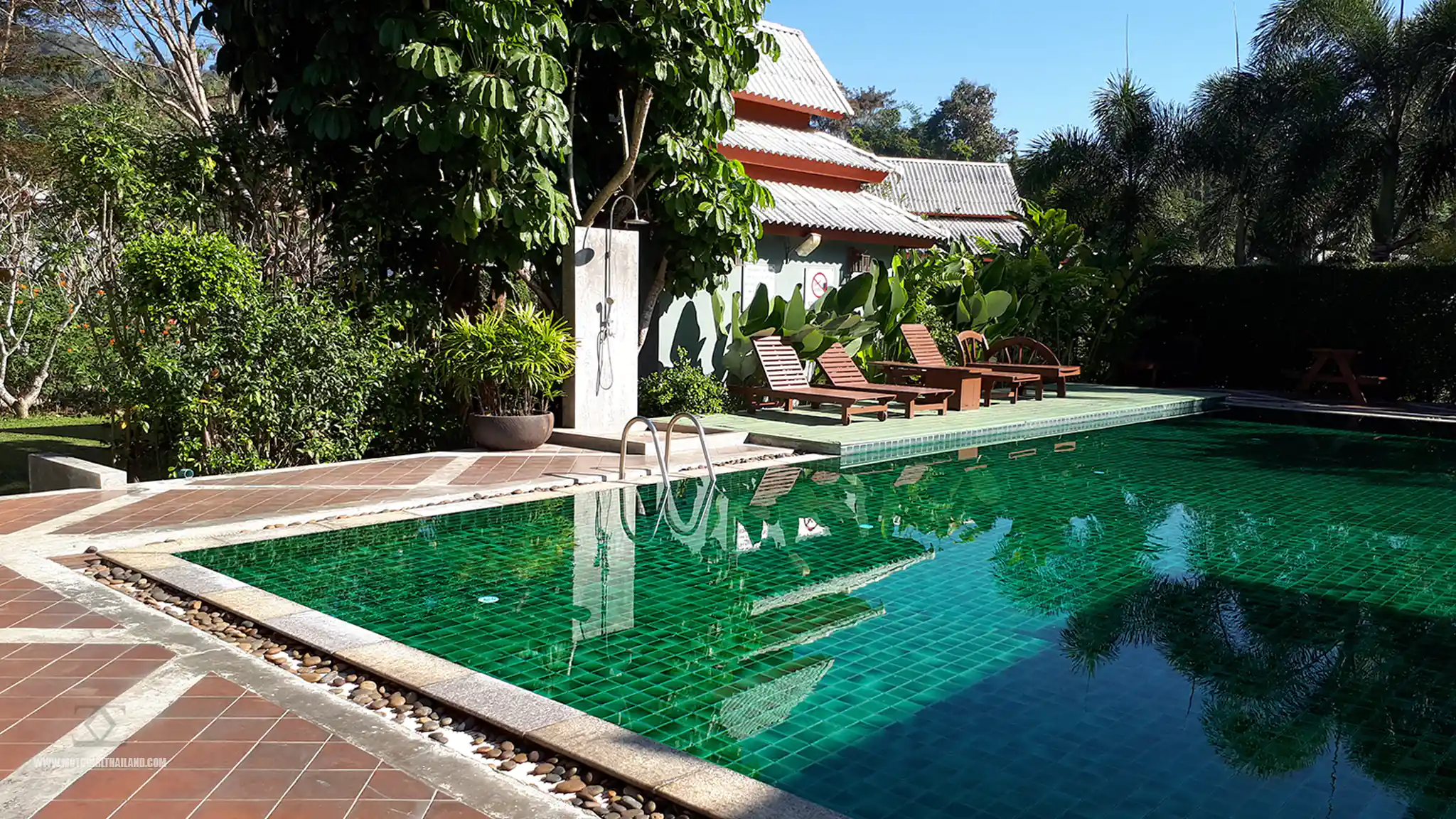
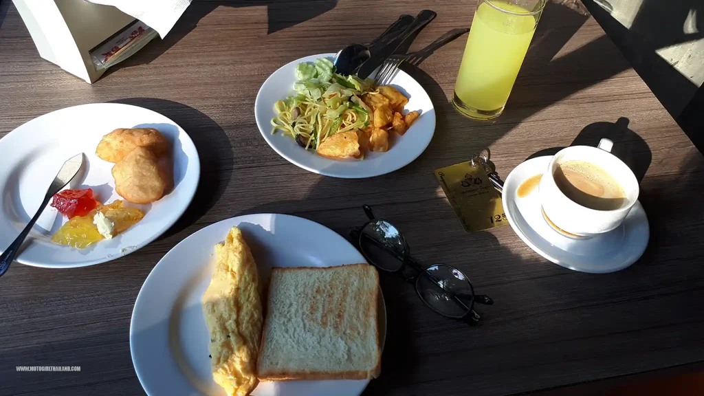
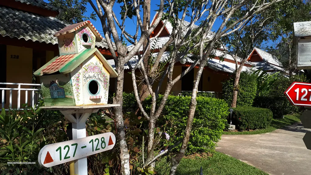
I lounged for a little while in my pretty accommodation, enjoying breakfast and a walk around the grounds.
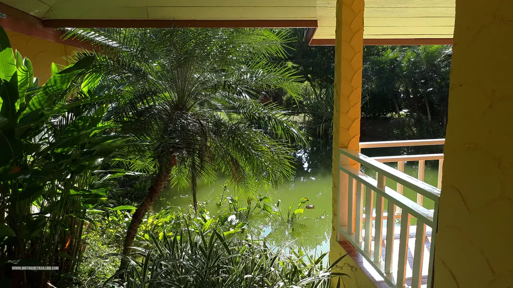
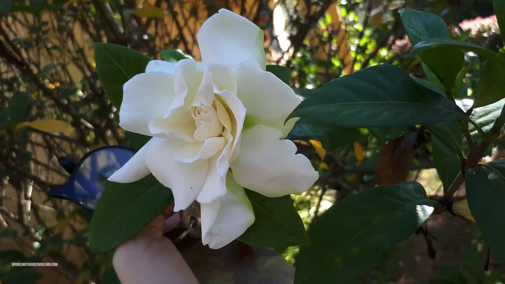
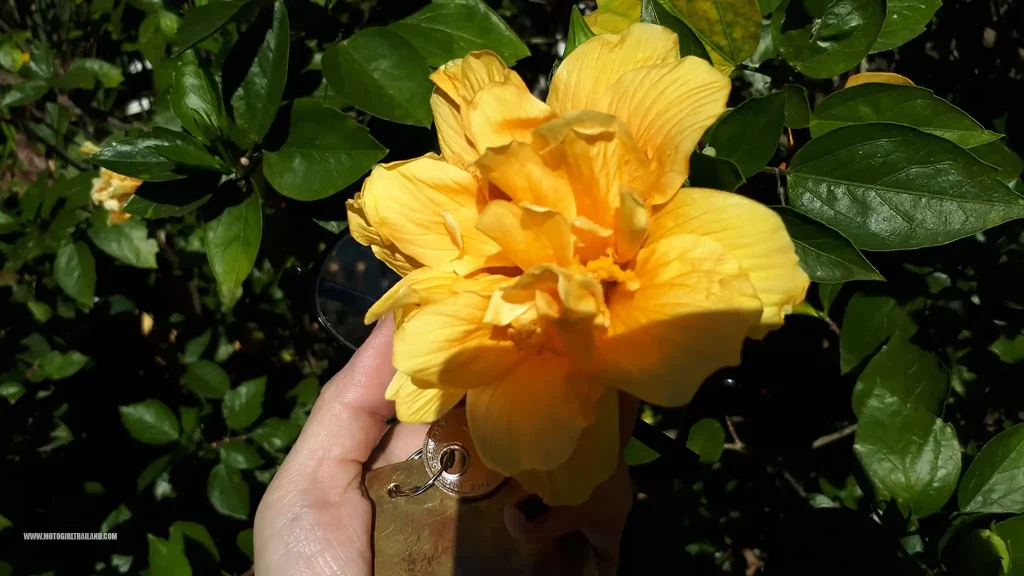
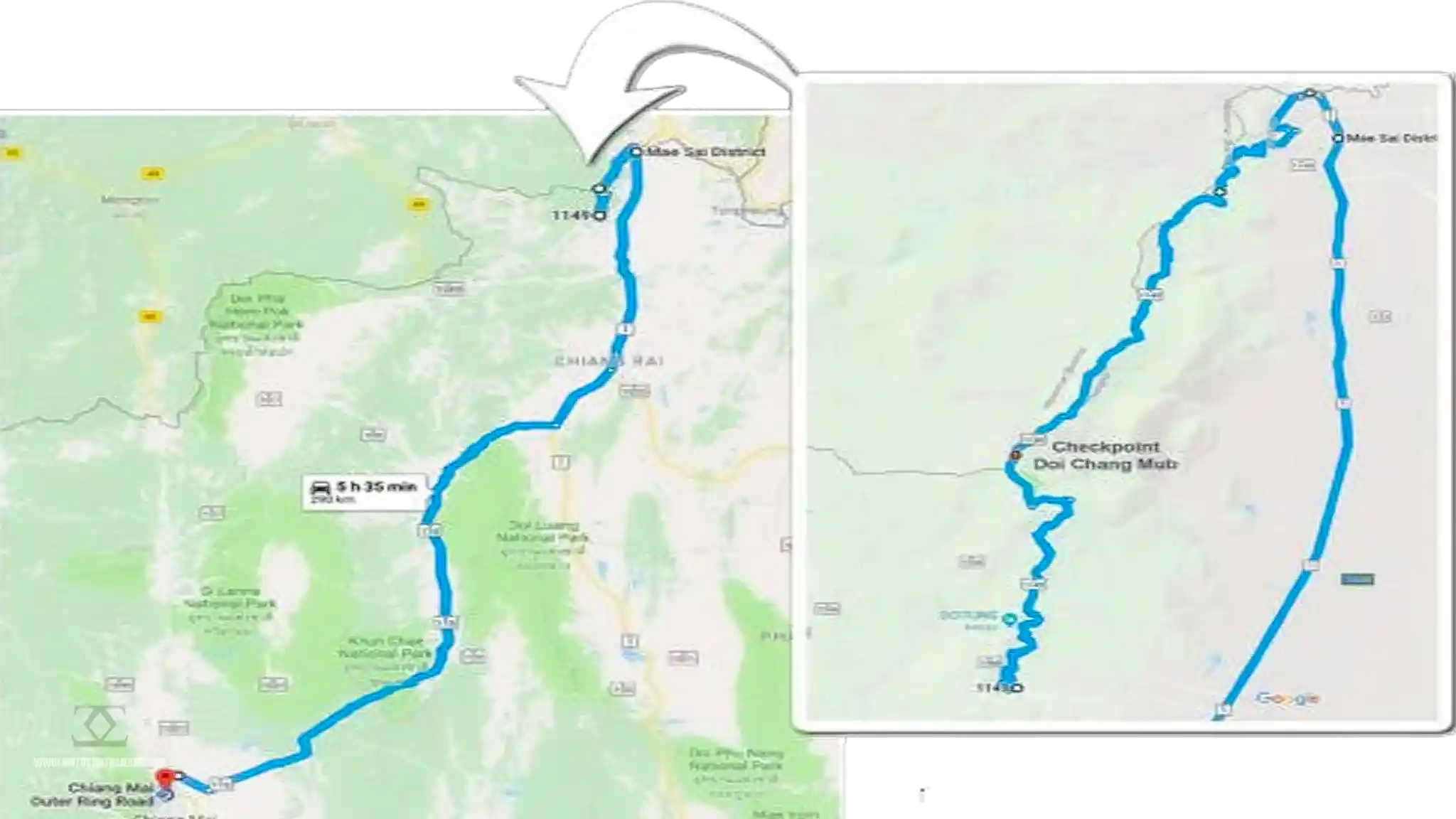
After a while, I packed up and checked out by mid-morning and then set off to ride the glorious R1149 border route, an amazing route that hugs the Thai/Myanmar border, and one of the steepest routes in the North.
Military Border Outpost
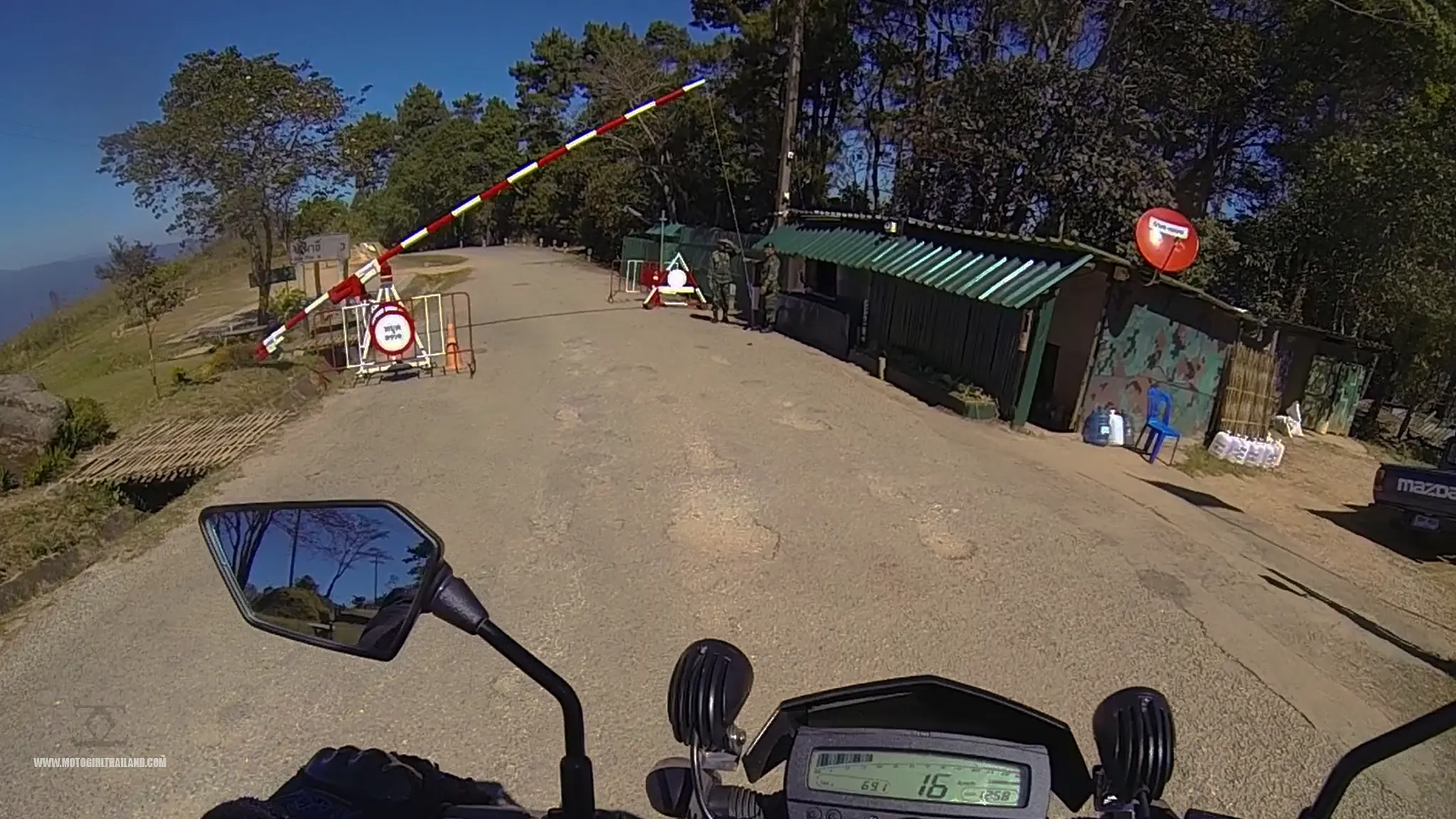
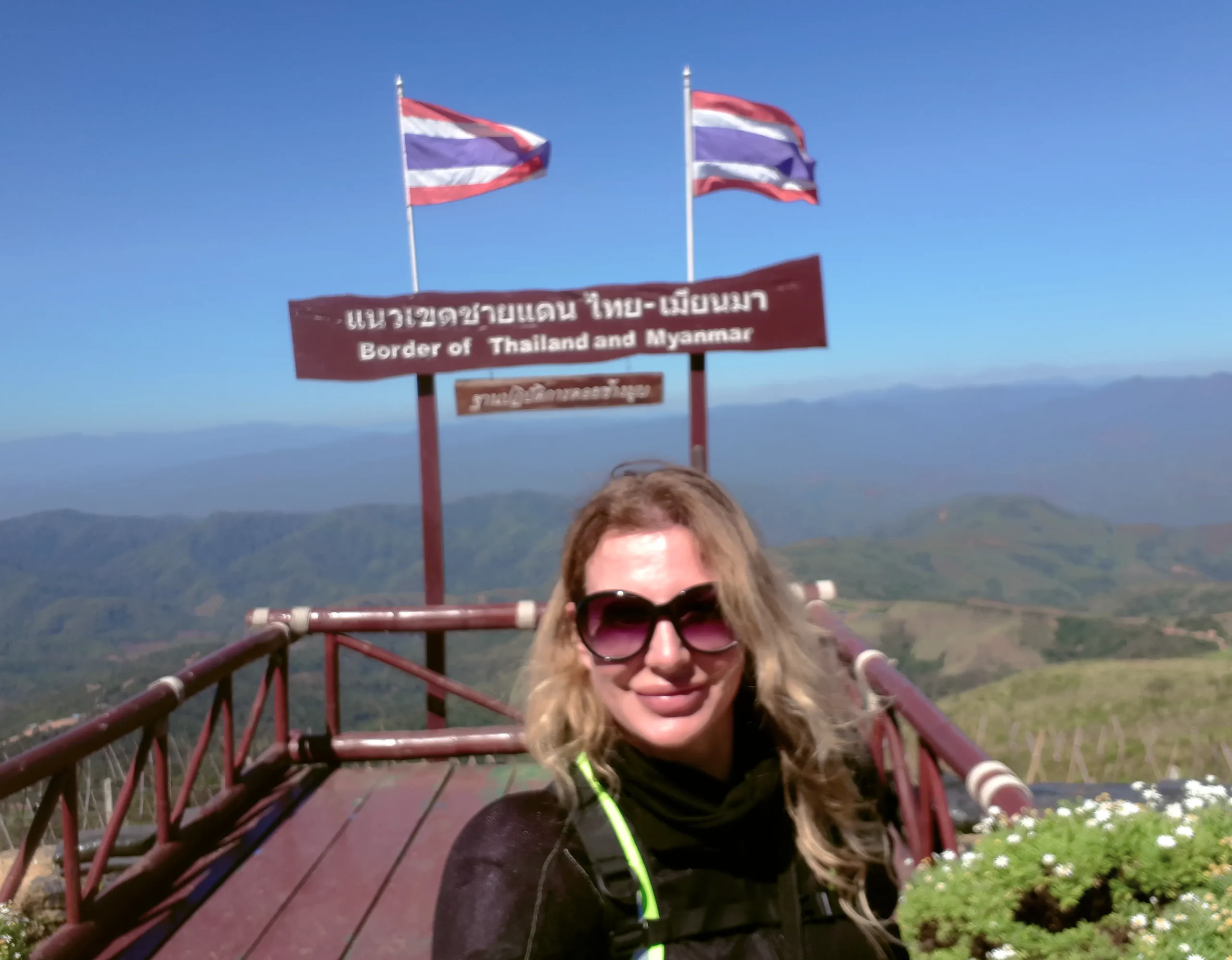
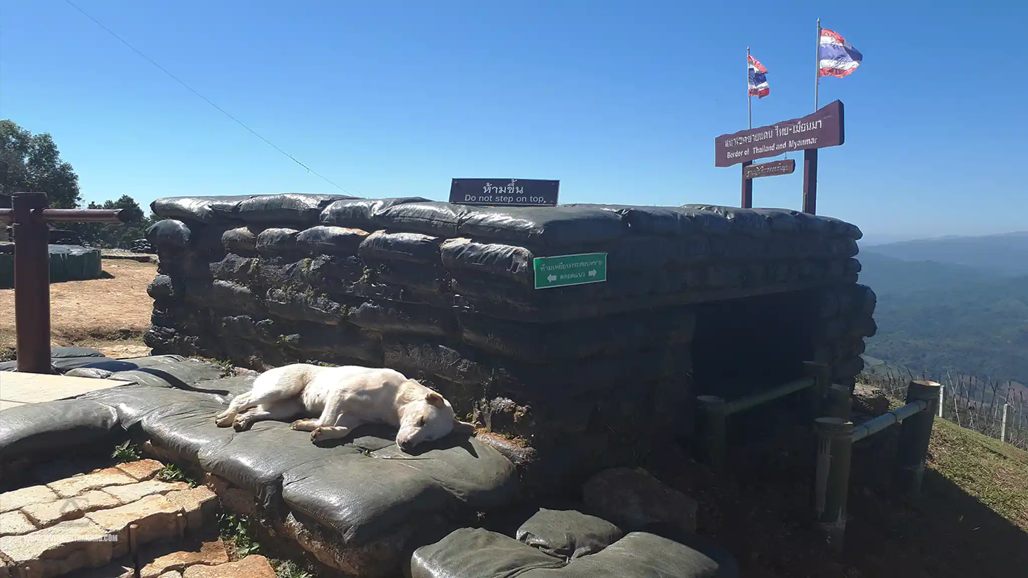
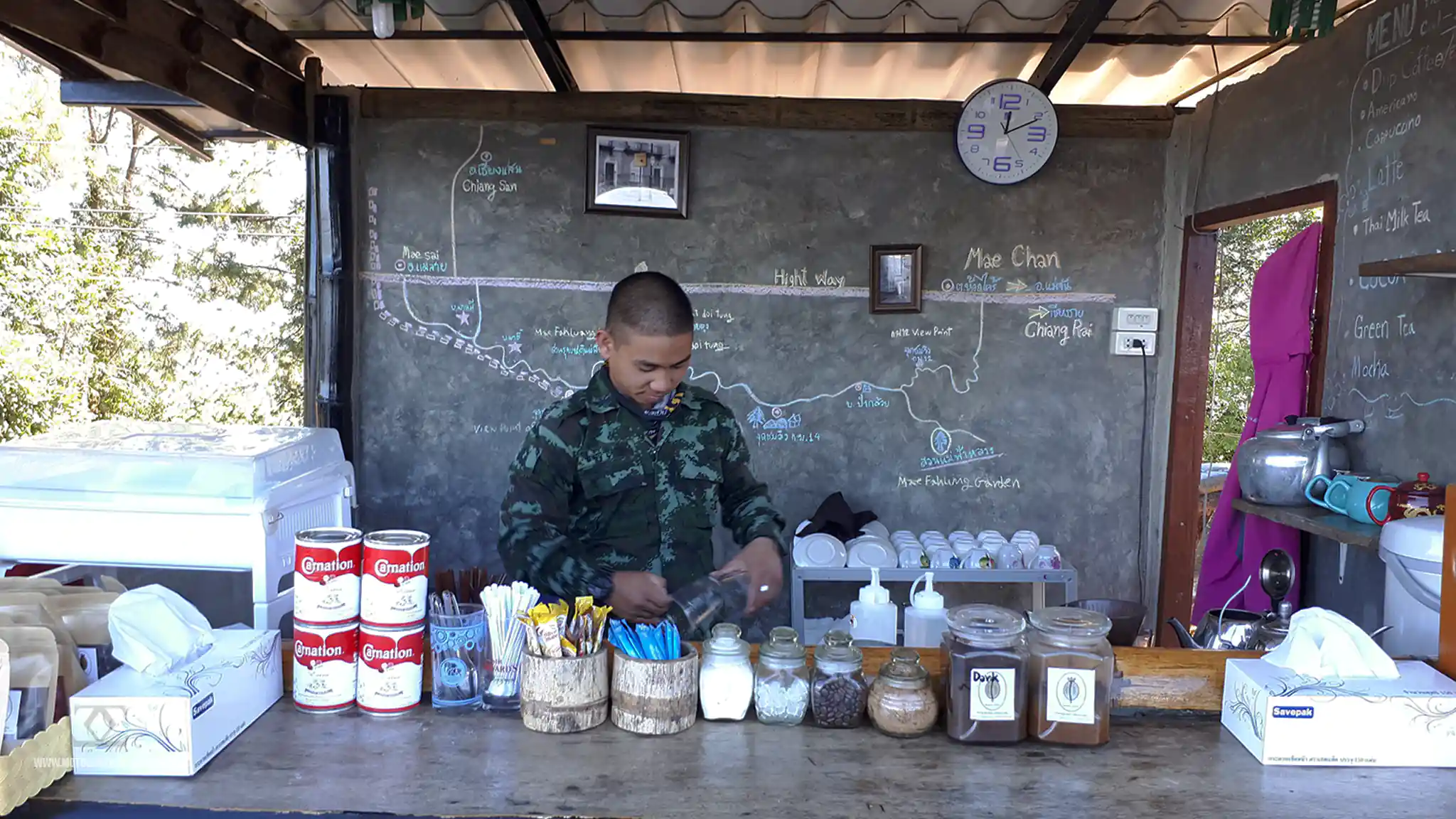
Partway along the R1149, I stopped at the military border outpost of Doi Chang Mub, where the soldiers have a coffee shop. This outpost also offers a glorious view over Myanmar.
One of the bunkers seemed to have become a comfortable dozing spot, also.
..and, the coffee was pretty good.
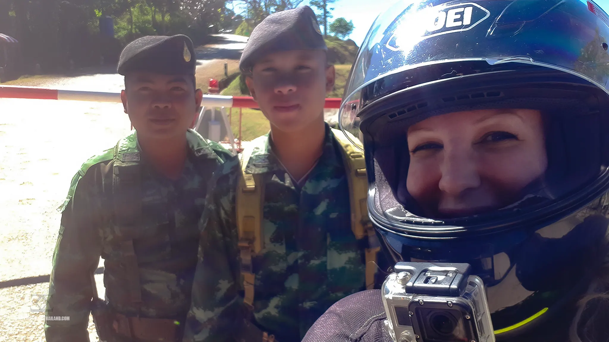
After coffee, I headed through the checkpoint and took an opportunity to have a “selfie” with the soldiers.
The R1149 Border Route
One great thing about this fall was that I realised I could get myself back up. In fact, getting myself up and back on the road gave me more confidence, helping me to enjoy the rest of the route.
I was looking forward to riding this route again. I had last ridden it in 2015, not long after I first got my bike. I recall the road being broken up and a bit muddy in sections, so I was looking forward to rating how much my riding had improved since then. Alas, I didn’t get that opportunity though, as the road was almost completely resurfaced.
Comparison video of the route between 2015 and 2019
I’m glad for residents along this route, but it meant that I didn’t get a chance to directly compare this ride with my previous experience of the road. Once I came out of the checkpoint area, I continued along the 1149 to the border market at Mae Sai and parked up.
Mae Sai Border Town
Mae Sai is Thailand’s northernmost town in Chiang Rai Province and is a significant border hub between Thailand and Myanmar. The town is renowned for its lively markets, selling items such as handicrafts, jewellery, clothing, and electronics.
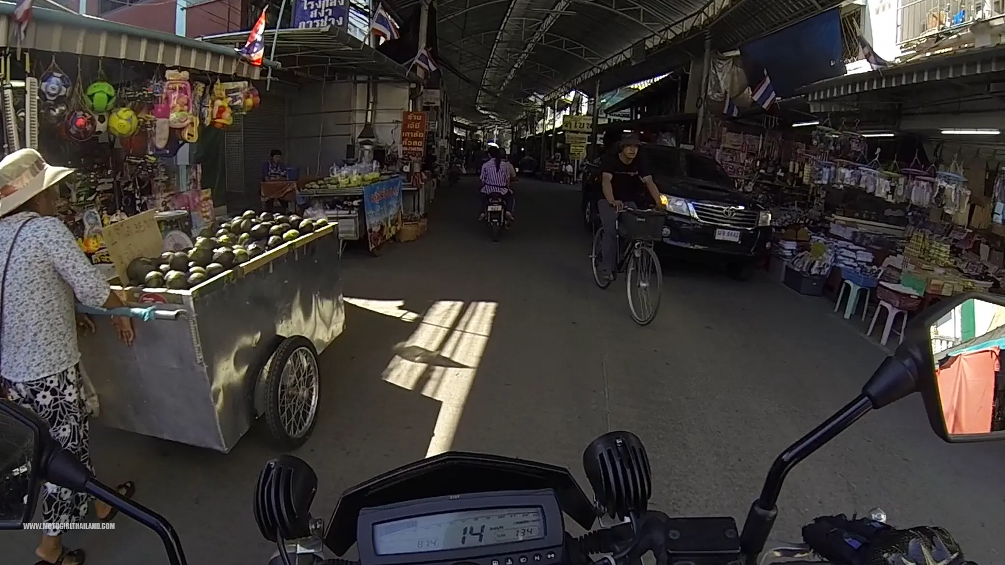
A Small World Moment
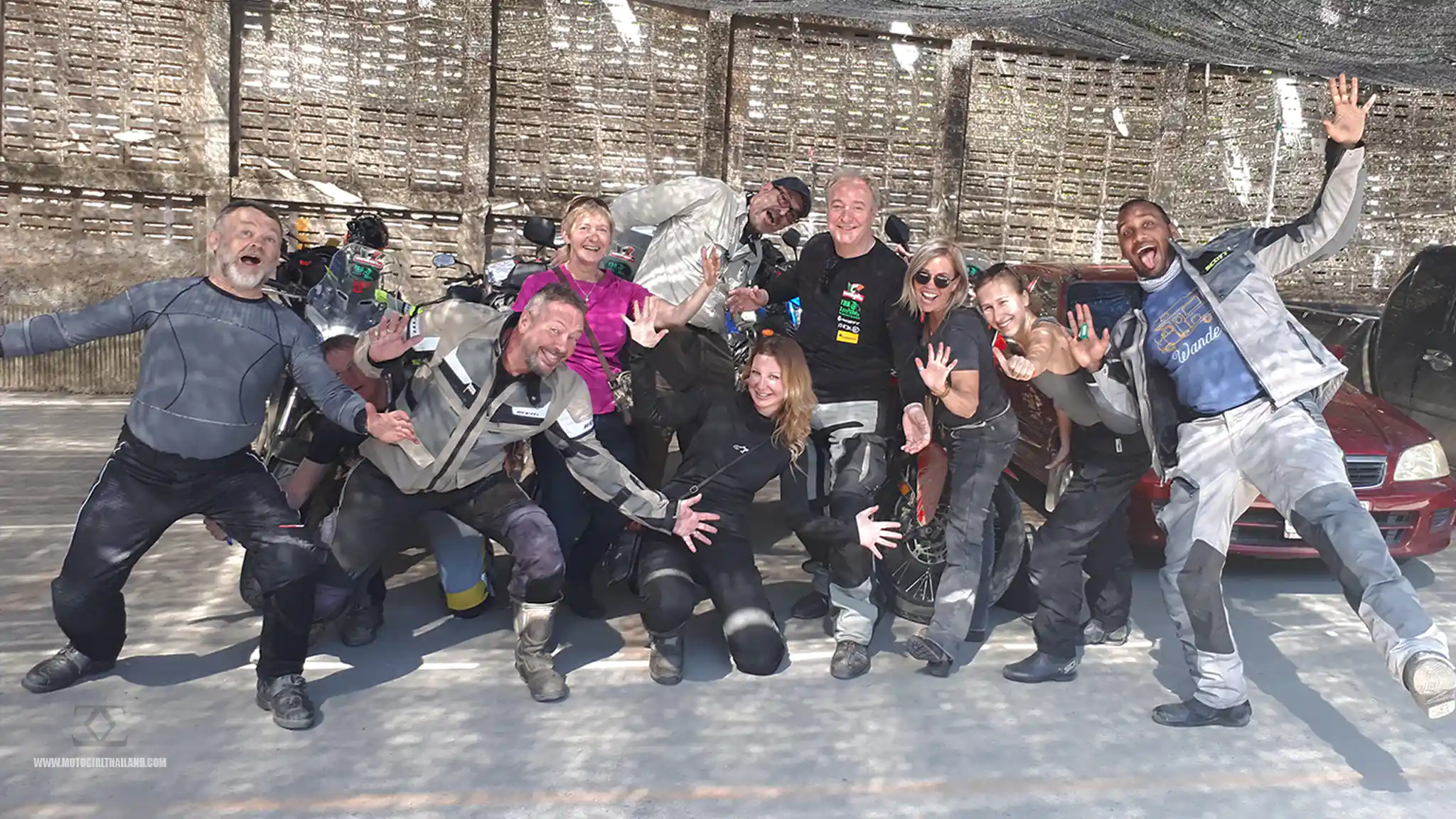
When I parked my bike in an undercover parking area, within Mae Sai market, I had a bit of a ‘small world’ moment. Two men wearing motorcycle gear came over to say hello, and I noticed they were wearing TBB Tour t-shirts. (TBB is a tour company based in Chiang Mai and I know the owners well, in fact, in 2017, they invited me to join in on one of their official Mae Hong Son tours, which you can read about HERE).
It turned out that these men were on a TBB Tour of the North and Jeff, (one of the owners), was leading it. I took the opportunity to grab a photo with them all before heading over the Myanmar border (on foot), to reactivate my visa.
Once I had finished passing through immigration and was back over on Thai soil, it was already quite late. I had dawdled quite a bit and didn’t bother to check the time.
Back to Chiang Mai
Once back on my bike, I decided to head directly back to Chiang Mai on the rather boring main R118.
I had originally planned to head to the Doi Wawi area but an old friend was going to be visiting Chiang Rai for the upcoming International Jazz Festival, a couple of days later. So, I decided to head straight back to Chiang Mai, save some money, and leave the exploring for the next ride.
– End of part 1
Part 2 of Trip: Jazz, Coffee & Mountains
Continuation of my original trip plan.
Splitting the ride up into these two separate rides meant I could incorporate my friend’s visit and have another fun area to ride.
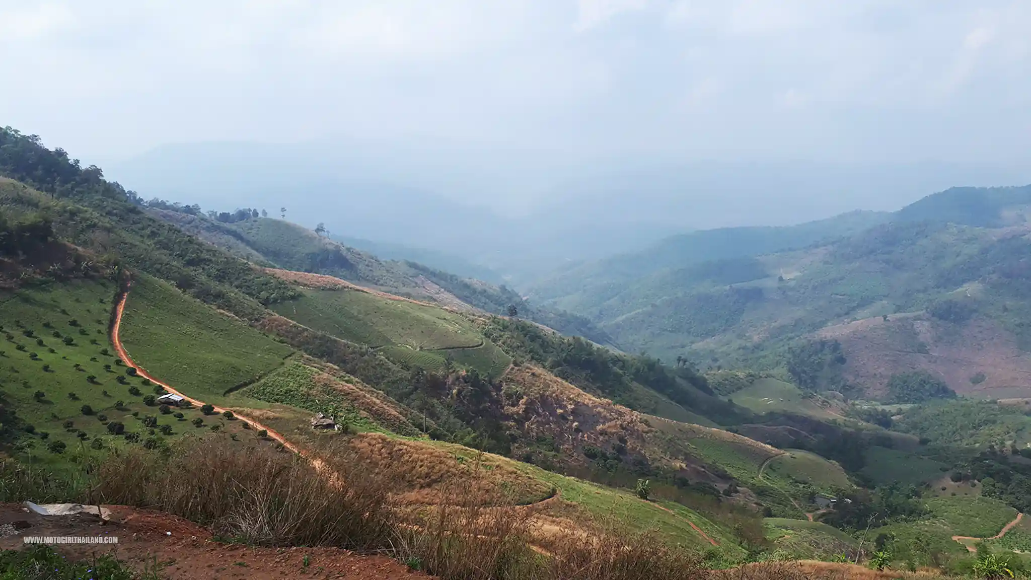
Day 1. Chiang Mai to Chiang Rai
The ride out. From Chiang Mai, I headed up the main R118 to Chiang Rai. Not my favourite road, but it provided an opportunity to stop at a fantastic abandoned building, modelled on Angkor Wat.
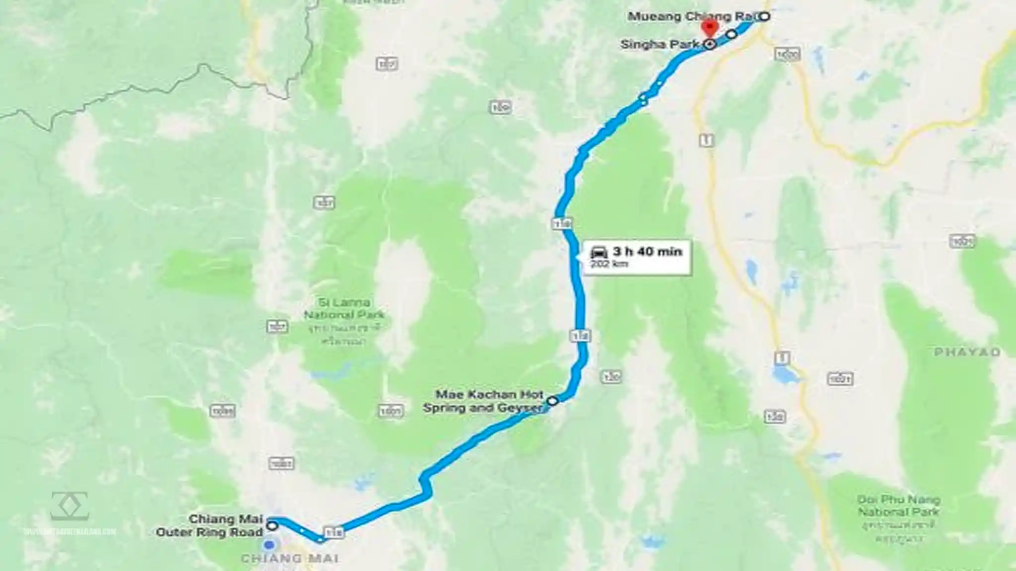
I love abandoned buildings in general, (I have a list of some great abandoned buildings on this guide). They are always full of intrigue, and this one next to Mae Kachan Hot Springs. is always an interesting one to stop at. Plus, there is a really nice cafe next to it, where you can soak your feet in the natural hot spring.
Abandoned “Angkor Wat”
This abandoned building, constructed in a Khmer architectural style, was intended to be a luxury spa complex, featuring amenities such as stone baths, Jacuzzis, and showers.
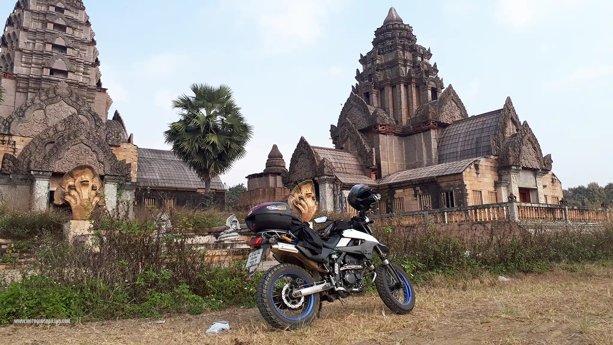
However, the project was halted, and the building has remained abandoned for years, leading to its gradual deterioration. The reasons behind the project’s cessation are not definitively known. Some speculate that funding issues, possibly linked to the 1997 Asian financial crisis, led to the abandonment.
The lower sections of the building are made of stone and concrete, mirroring the iconic Angkor Wat temples in Cambodia. Despite its abandonment, the site has managed to avoid significant vandalism or graffiti, retaining much of its original design and character.
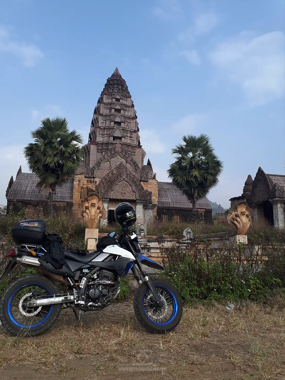
While the building is accessible, I needed proceed with care due to its unstable condition. The structure is also located on private property, so I ensured I was respectful when exploring the area.
The inside of the main building has since been boarded up, but this (not-so-good) video shows the interior, including the old Spa fixtures and fittings.
Once I had finished looking around, I got back on my bike and headed to Chiang Rai city.
Chiang Rai City
Chiang Rai city is the northernmost provincial capital of Thailand and serves as a gateway to the region’s stunning landscapes and rich cultural heritage. The city boasts attractions such as the stunning Wat Huay Pla Kang, the White Temple (Wat Rong Khun), the Blue Temple (Wat Rong Suea Ten), and the huge Singha Park complex.
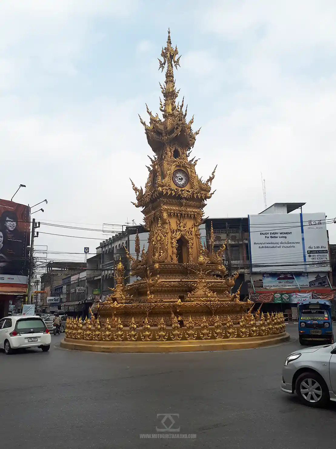
It’s a hub for exploring the Golden Triangle, hill tribe villages, and scenic mountain trails.
Once I had arrived in Chiang Rai, I checked into the Cordelia Hotel, which I found to be clean, fairly quiet and good value. I cleaned up, then headed off to meet my friend and attend the International Jazz Festival, hosted in Singha Park.
Once I had arrived in Chiang Rai, I checked into the Cordelia Hotel, which I found to be clean, fairly quiet and good value. I cleaned up, then headed off to meet my friend and attend the International Jazz Festival, hosted in Singha Park.
The Chiang Rai International Jazz Festival

Despite not being a massive Jazz fan, I enjoyed the music. In particular, I enjoyed a band called Infinity and Brian McKnight (although he is more R&B, than Jazz). There was also a 13-year-old Indonesian contemporary jazz pianist and child prodigy who played, who was extremely talented.
The presentation, food and drinks and the location were excellent.
Chiang Rai at Night
Chiang Rai has a bustling active nightlife, including the famous Night Bizarre. Once the Jazz Festival was finished, my friend and I headed to a quirky bar zone to wind down after the evening of music.
A little while later, just outside of Cat Bar, I spotted a bizarre hybrid bike and dashed out to chat with the owner. It turned out that he had modified the bike himself. It must be very challenging to handle a bike like that!
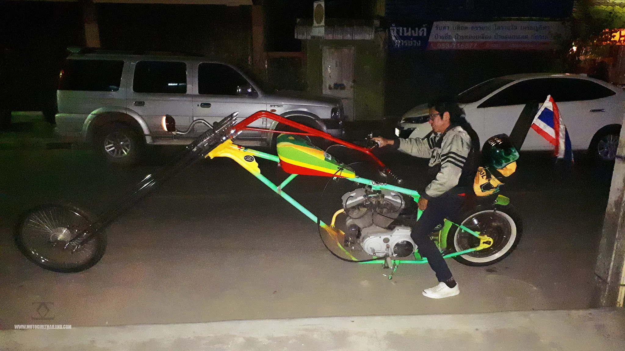
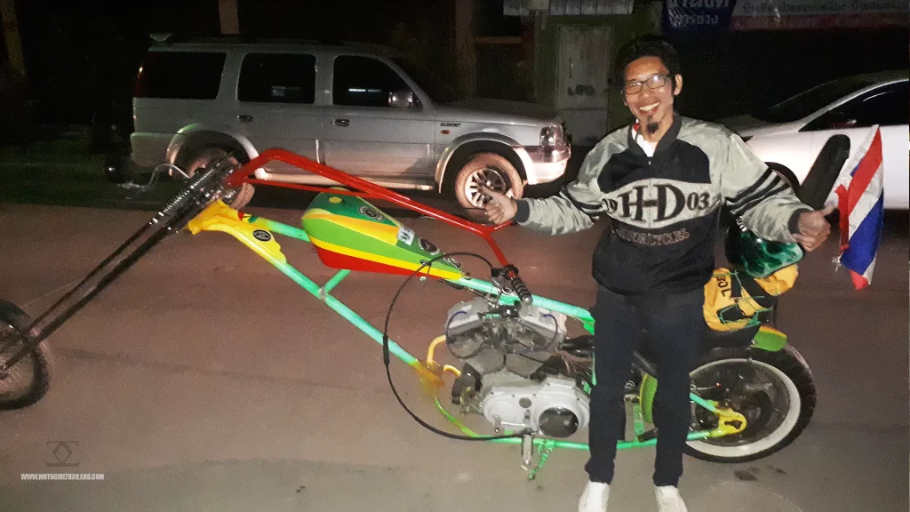
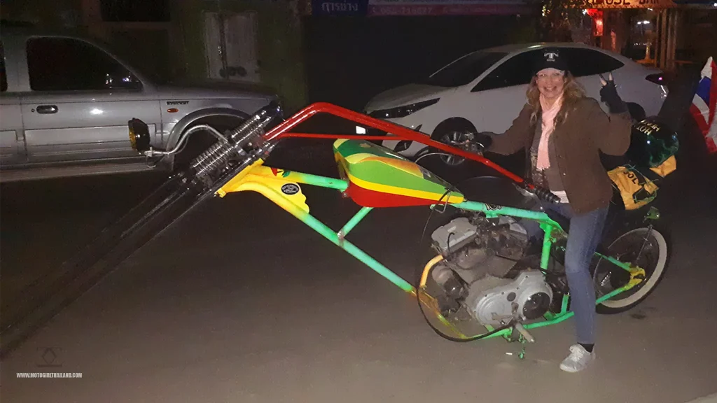
Finally, after a fun evening, I wished my friend good night and headed back to the Cordelia.
– End of day 1
Day 2. Chiang Rai to Chiang Mai via Doi Wawi
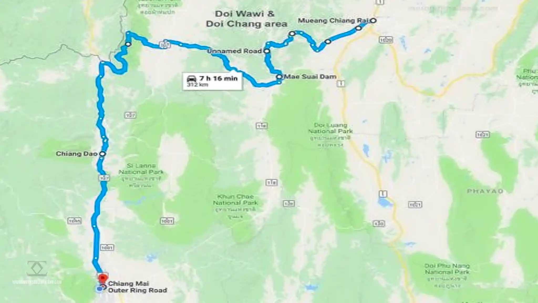
The ride out. By around 11:30 am I left Chiang Rai and headed towards Doi Wawi, stopping briefly in at Singha Park for a quick photo with the giant iconic Singha Lion.
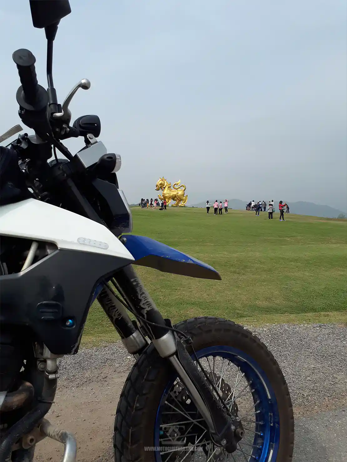
After the photo, I headed off, sticking mostly to the B routes towards Doi Chang and Doi Wawi, in the Mae Suai district of Chiang Rai Province.
Doi Chang & Doi Wawi
Doi Chang and Doi Wawi are renowned for their high-quality coffee production and scenic mountain landscapes.
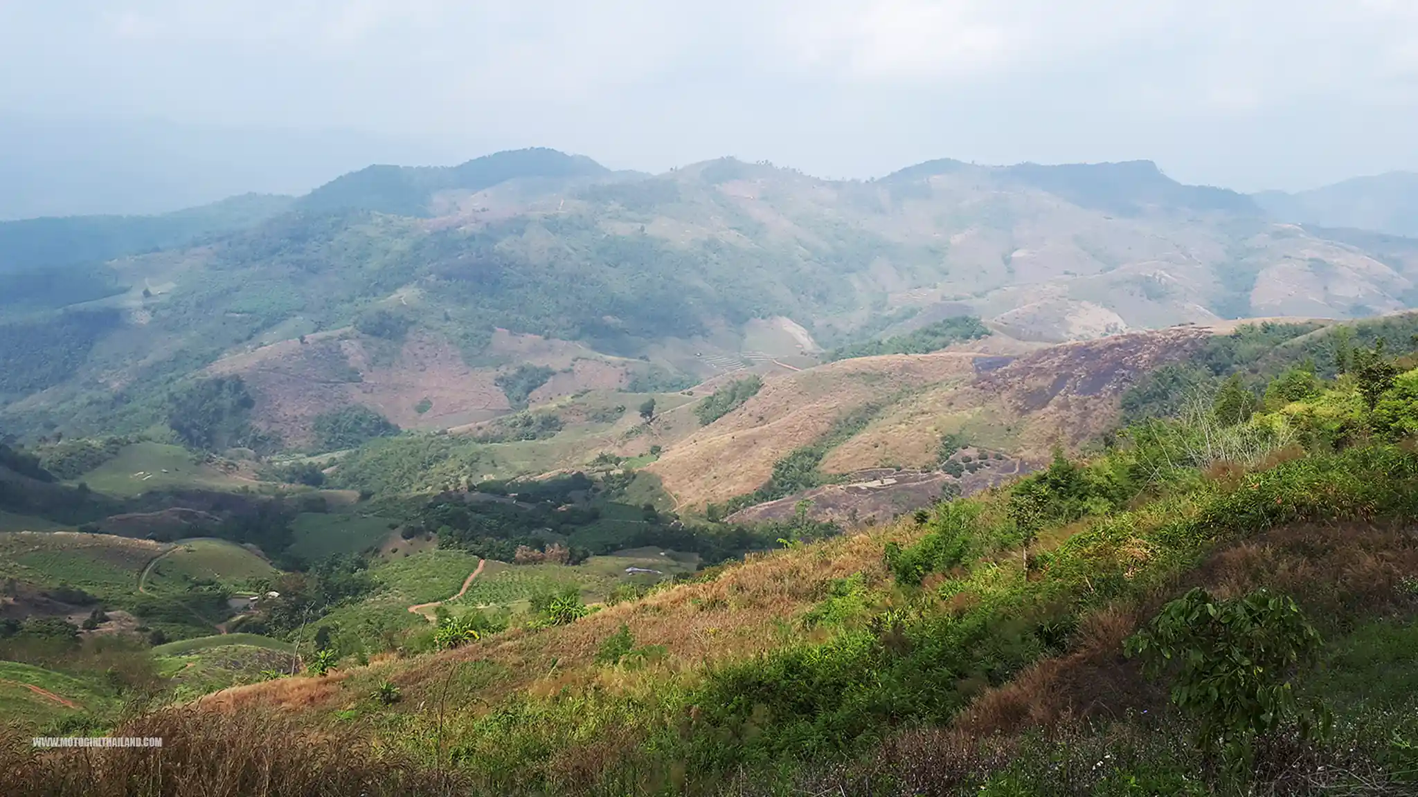
Doi Chang, often called the “coffee capital” of Thailand, is famous for its speciality Arabica coffee and offers visitors a chance to tour plantations and enjoy panoramic views.
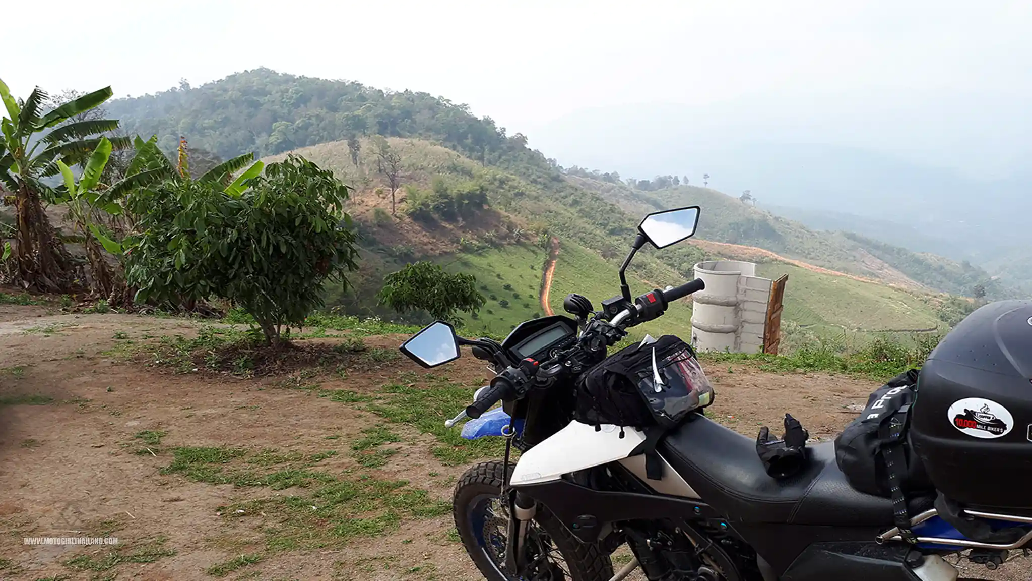
The panoramic roadside views along this mountain ridge are breathtakingly scenic, with views both to the left and right.
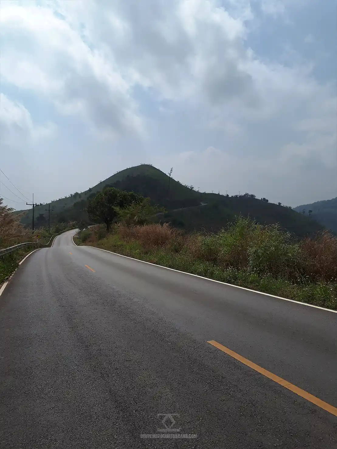
Riding these mountains feels like miles from anywhere.
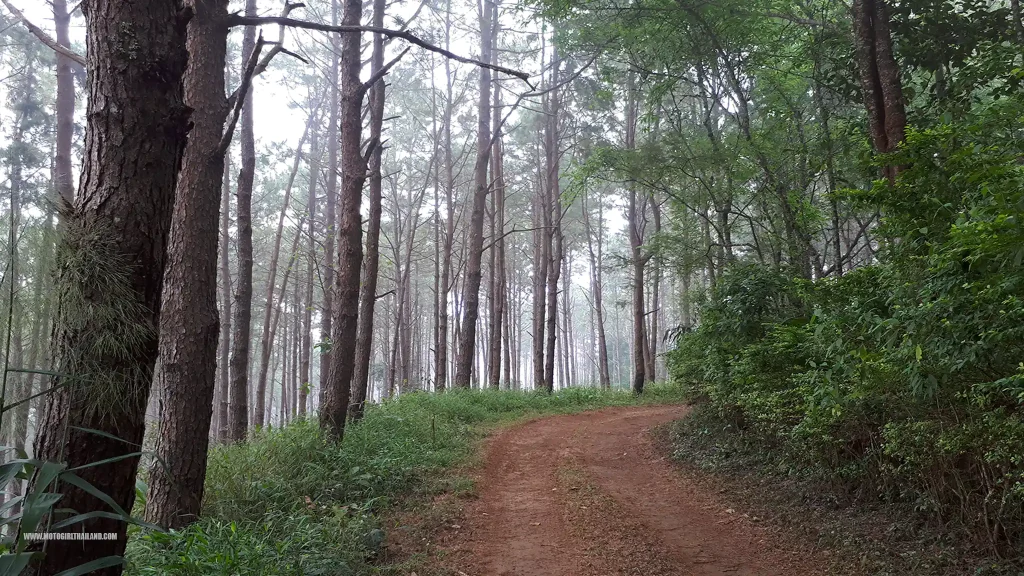
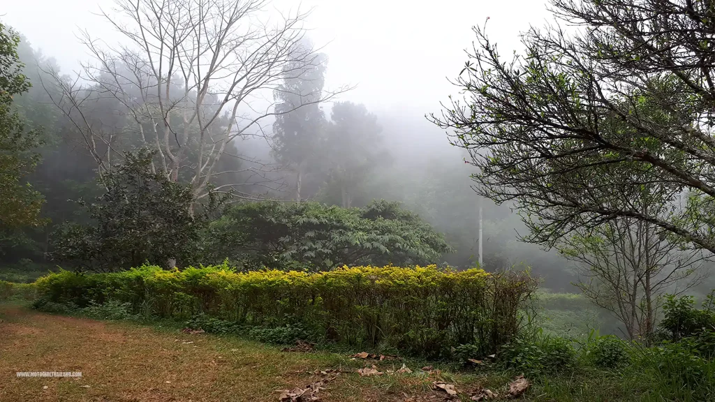
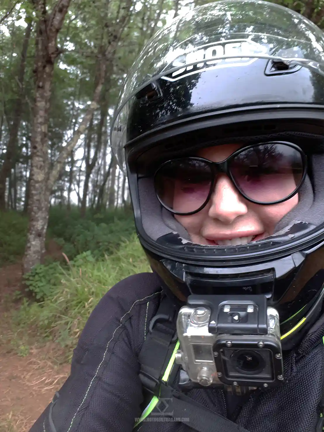
Ang Kep Nam Huai San reservoir
Ang Kep Nam Huai San reservoir is always a fun crossing in this area, also:
This short video captures the moment
The R109
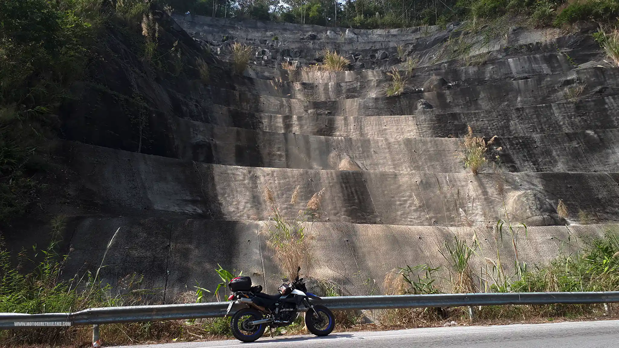
After riding in the Doi Chang and Doi Wawi mountains, I took another mountain route: the wonderful R109. I rarely spot anyone using this route, so I was surprised to catch a group of Harley riders enjoying the mountains!
My last stop was Chiang Dao, where I stopped for a bite to eat and a cool drink.
Chiang Dao
Chiang Dao is a small town known for its limestone mountains, including Doi Chiang Dao, Thailand’s third-highest peak. The area is popular for hiking, exploring the Chiang Dao Cave, and visiting nearby hot springs.
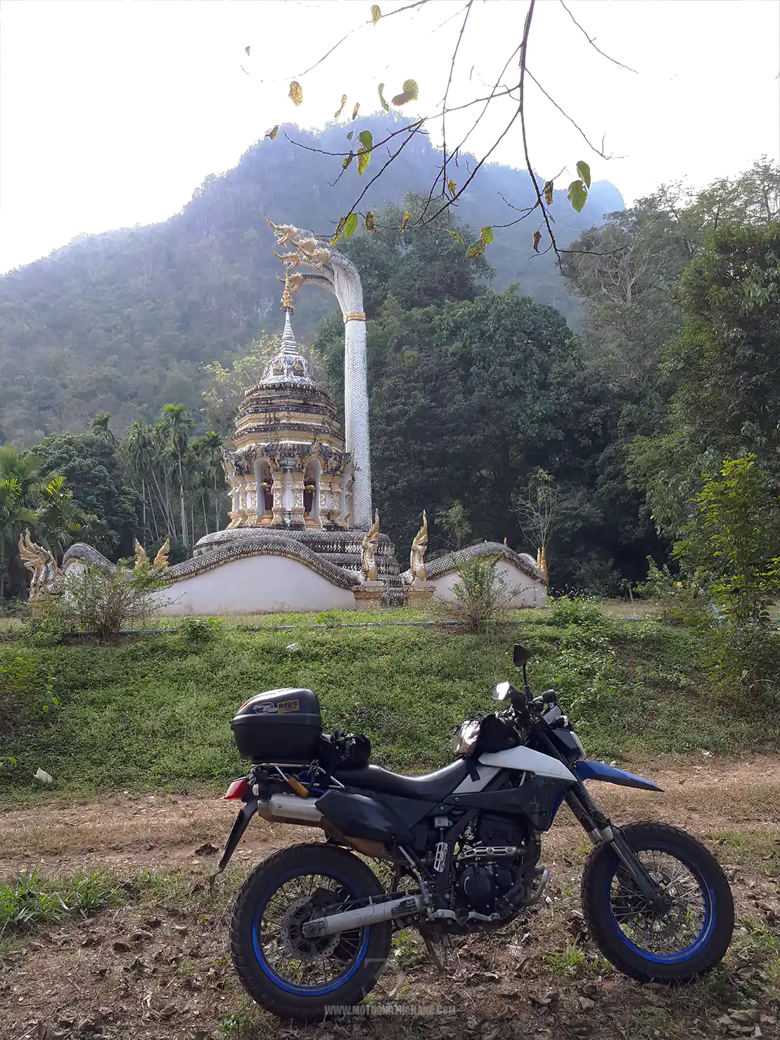
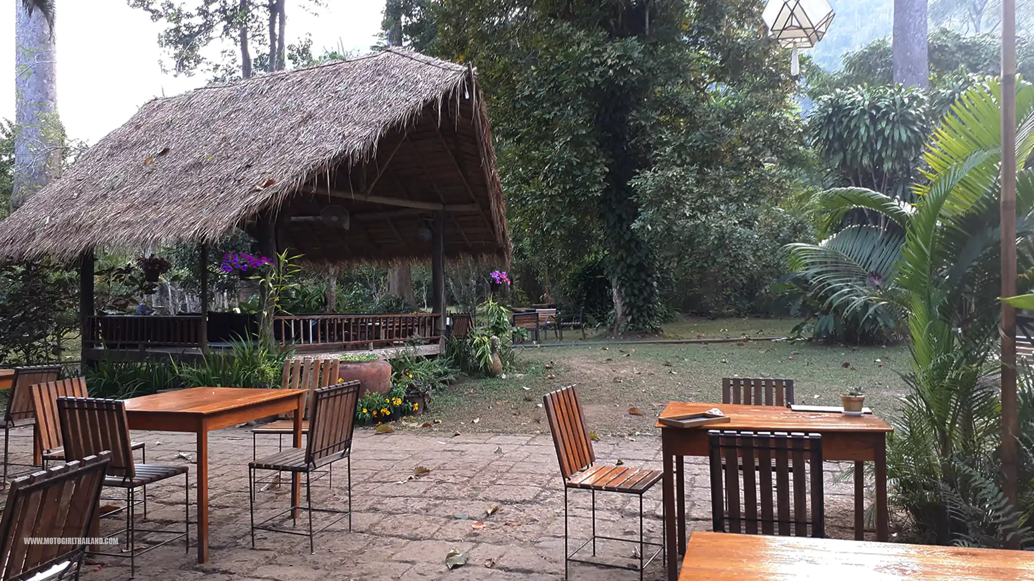
I stopped in at Chiang Dao Nest 2 .
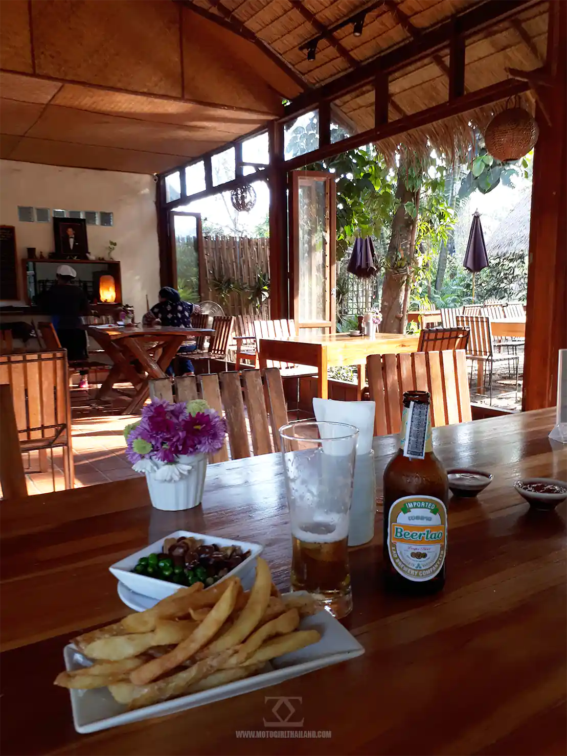
The kitchen was officially closed but they kindly knocked me up something!
After that was a straight ride back to Chiang Mai.
Return to Chiang Mai
I took the direct route back to Chiang Mai, making it home in good time. All in all, it was an absolutely fantastic ride.
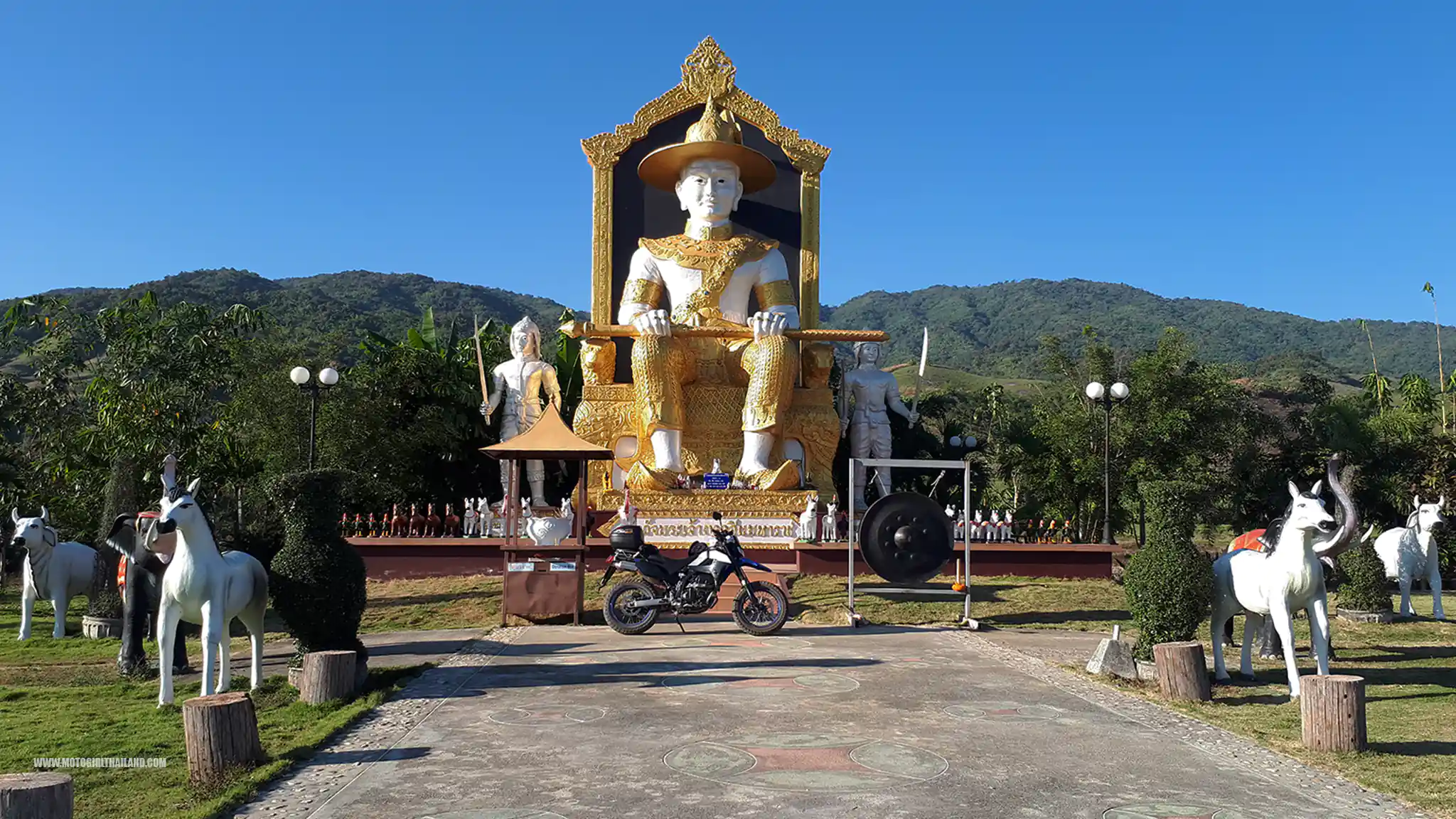
– End of ride
I hope you enjoyed this Doi Hom Pok & Doi Wawi trip report.
Leave a comment!